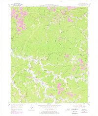
1954 Map of Thomas
USGS Topo · Published 1978About this map
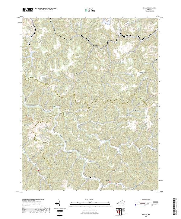
Johns Creek and its many winding tributaries like Brushy Fork and Wolf Creek dominate this 1950s landscape, illustrating a classic Appalachian drainage pattern. The area is defined by small, dispersed settlements including Thomas P O, McCombs, and Gulnare, which are connected by a network of creekside roads. This era shows a community heavily invested in local education and resource extraction, evidenced by the numerous specialized schools such as Wolf Creek Sch, Banyan Sch, and the Big Branch Sch.
Find a feature on this map
69 named features on this map. Tap any name to fly to it.
Don’t see what you’re looking for? This feature index may not catch every label — zoom into the map to look around manually.
Map Details
Editions of this 1954 Thomas Map
3 editions found
Historical Maps of Gulnare Through Time
14 maps found
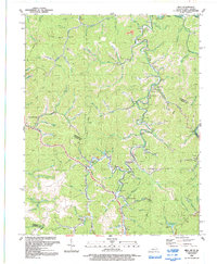
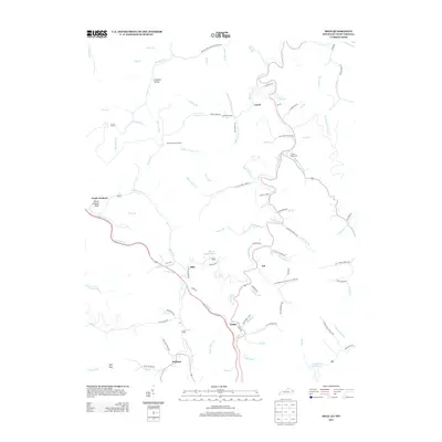
1954 Milo
Martin County, KY
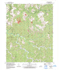
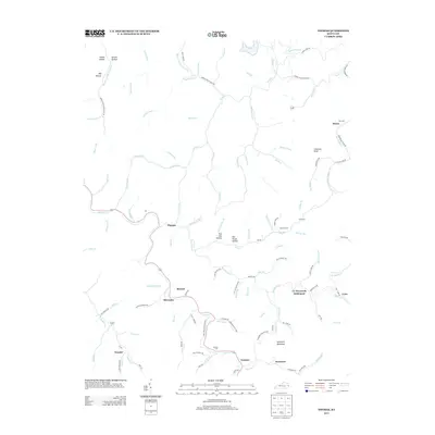
1954 Thomas
Martin County, KY
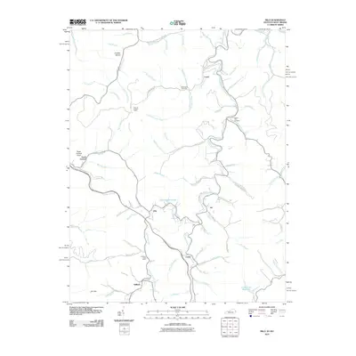
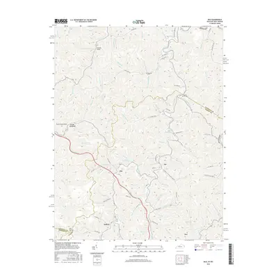
1992 Milo
Martin County, KY
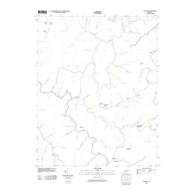
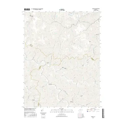
1992 Thomas
Martin County, KY
2010 Milo
Martin County, KY
2010 Thomas
Martin County, KY
2013 Milo
Martin County, KY
2013 Thomas
Martin County, KY
2016 Milo
Martin County, KY
2016 Thomas
Martin County, KY
2019 Milo
Martin County, KY
2019 Thomas
Martin County, KY

2022 Milo
Martin County, KY
2022 Thomas
Martin County, KY