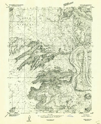
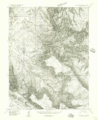
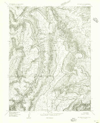
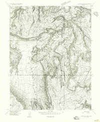
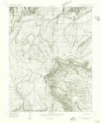
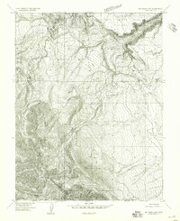
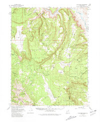
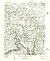
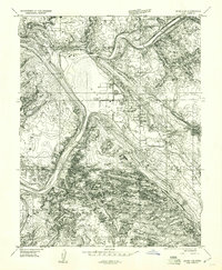
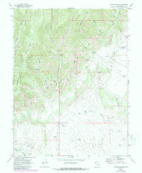
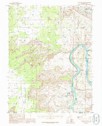
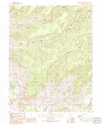
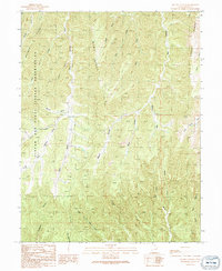
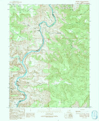
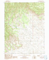
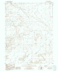
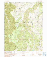
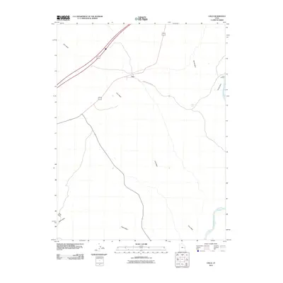
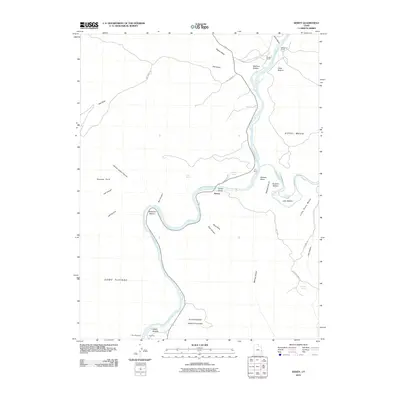
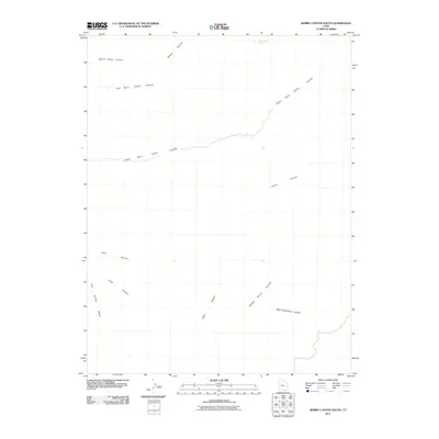
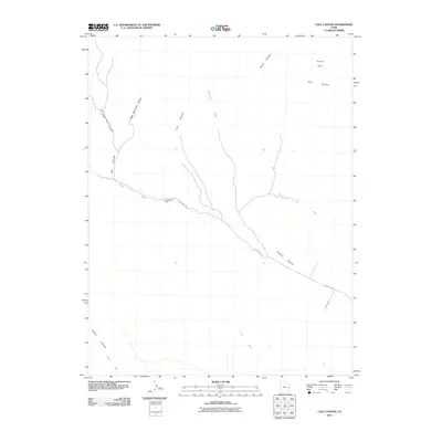
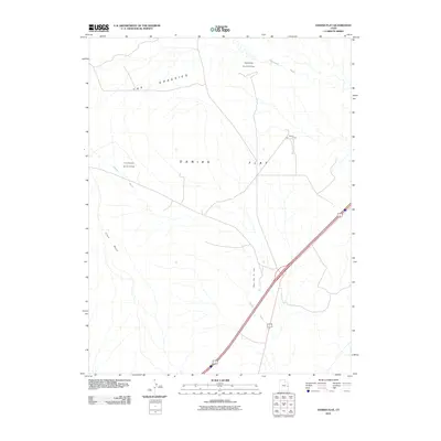
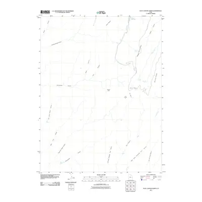
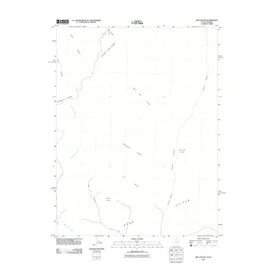
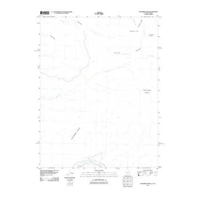
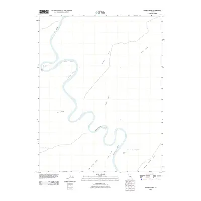
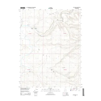
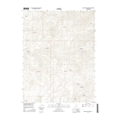
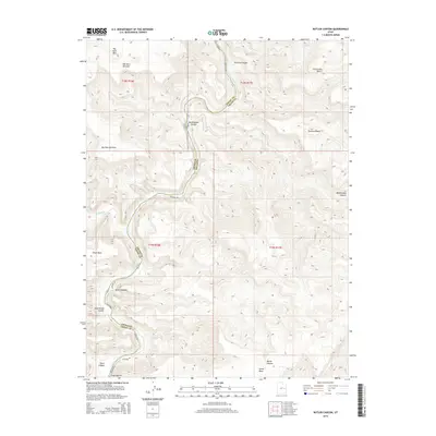
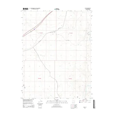
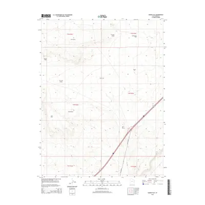
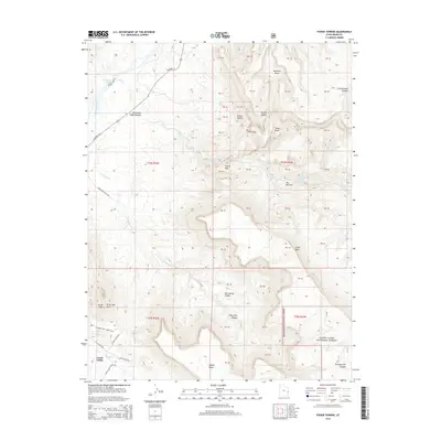
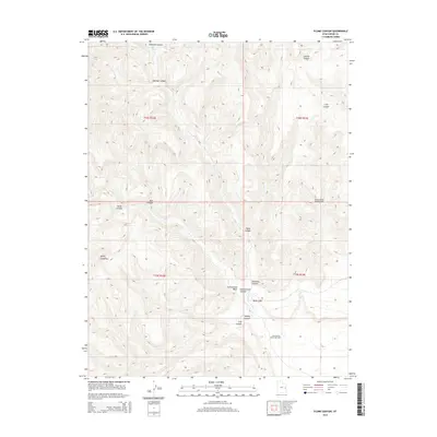
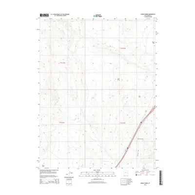
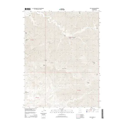
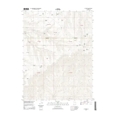
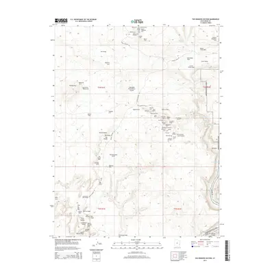
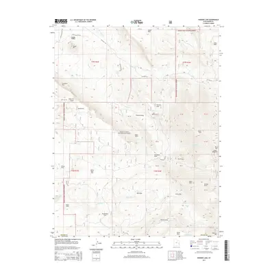
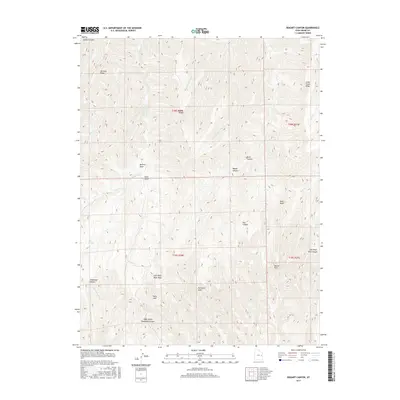
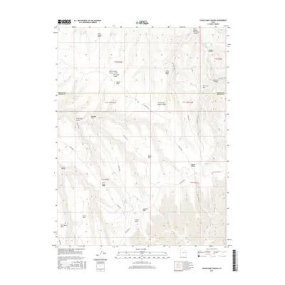
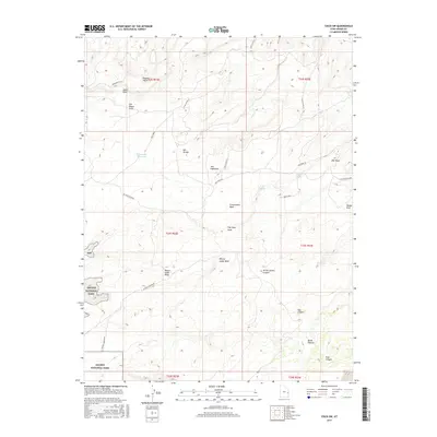
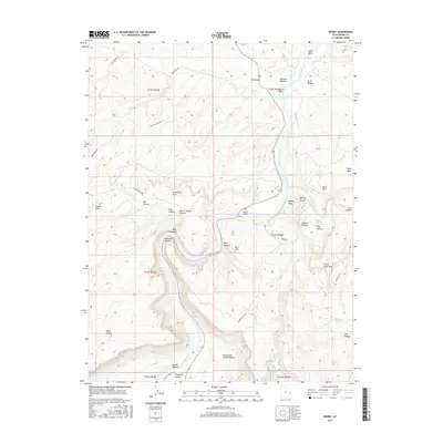
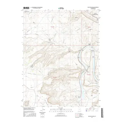
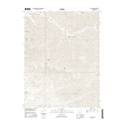
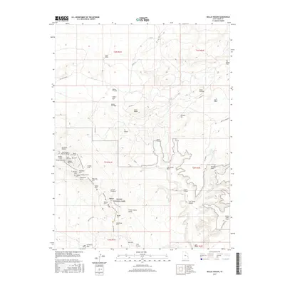
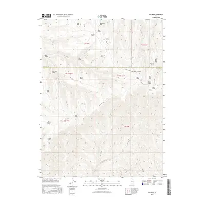
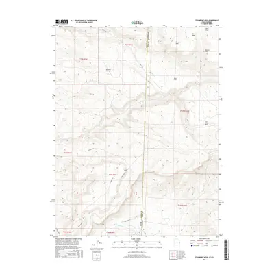
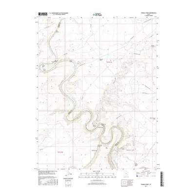
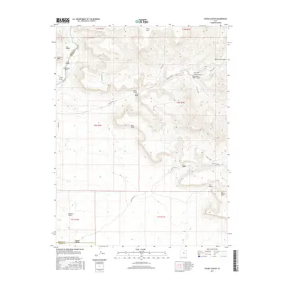
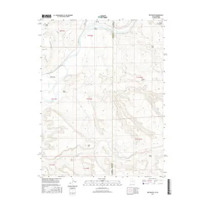
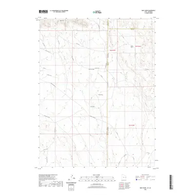
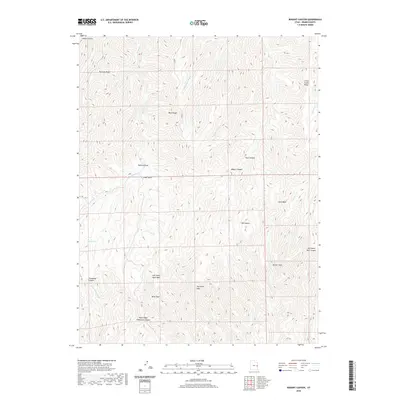
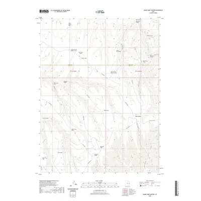
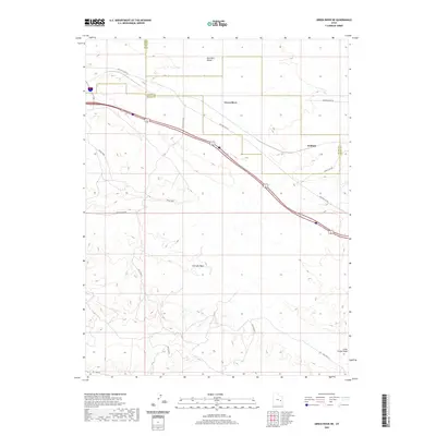
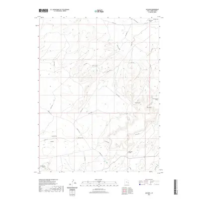
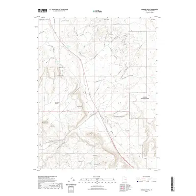
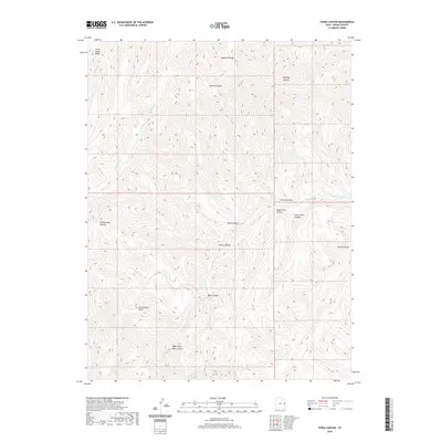
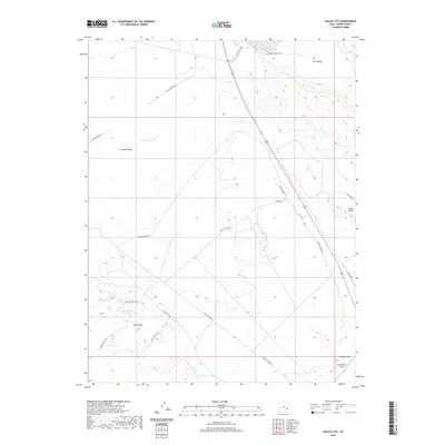
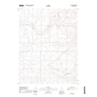
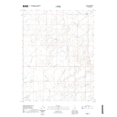
1958 Map of Thompson
USGS Topo · Published 1966About this map
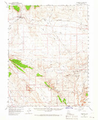
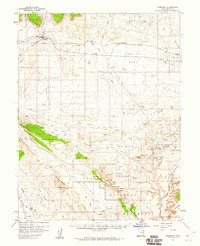
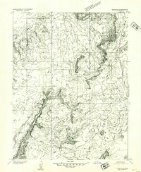
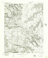
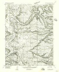
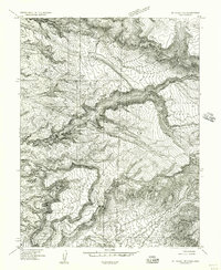
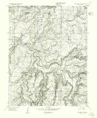
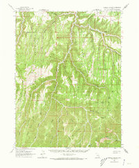
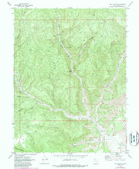
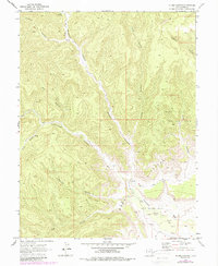
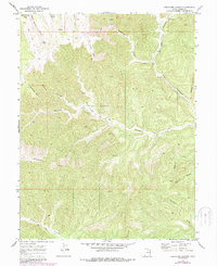
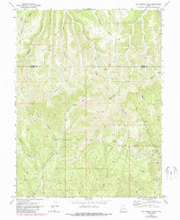
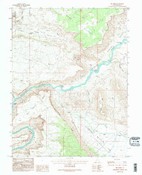
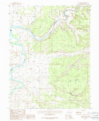
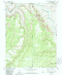
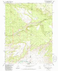
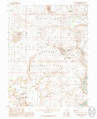
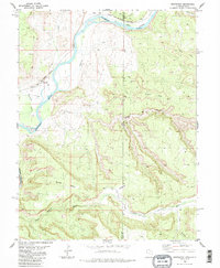
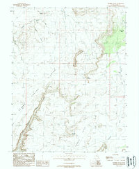
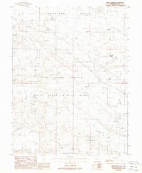
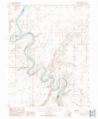
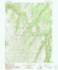
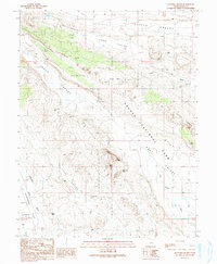
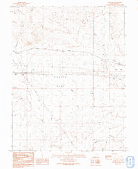
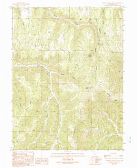
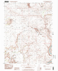
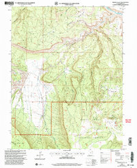
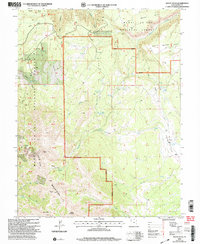
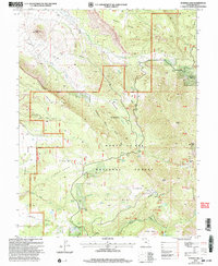
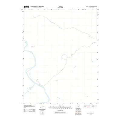
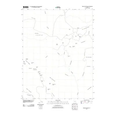
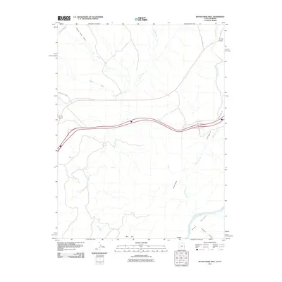
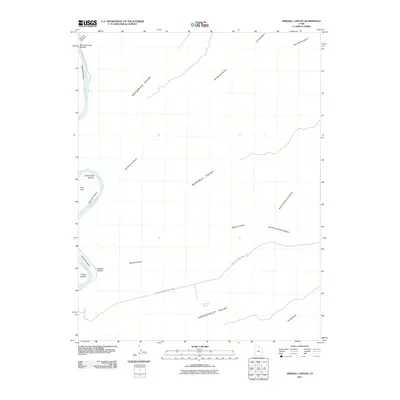
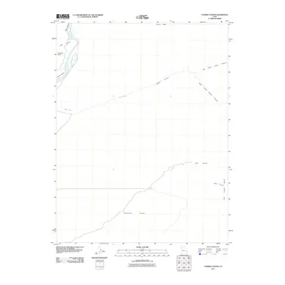
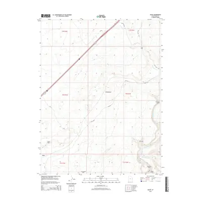
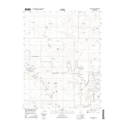
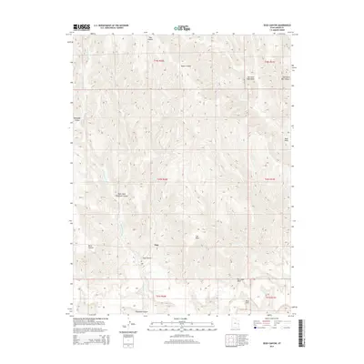
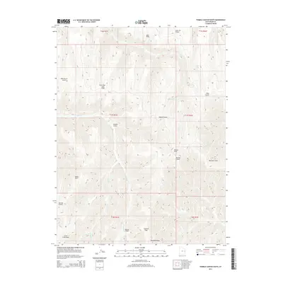
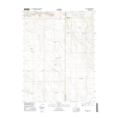
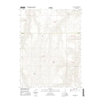
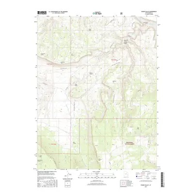
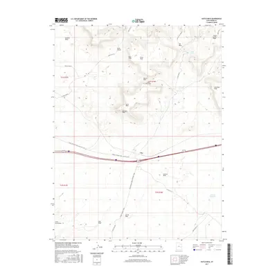
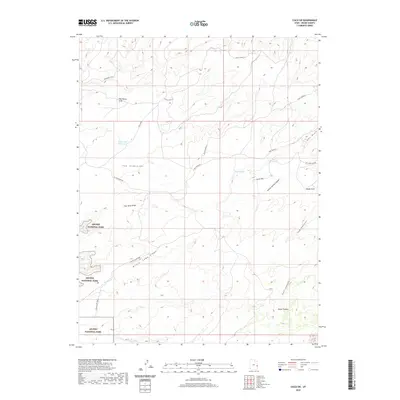
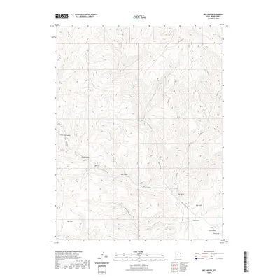
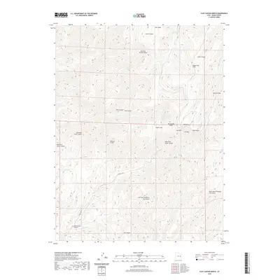
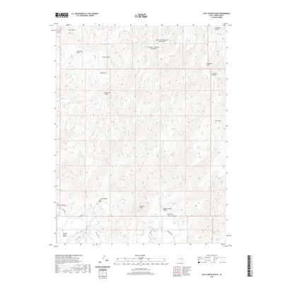
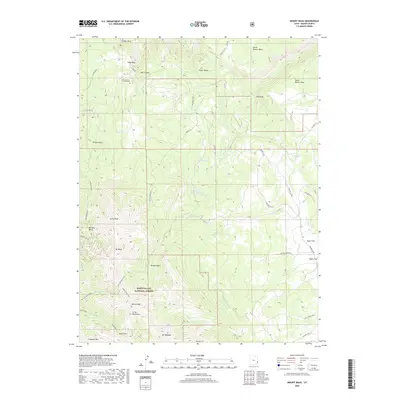
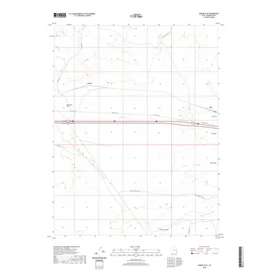
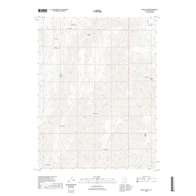
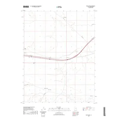
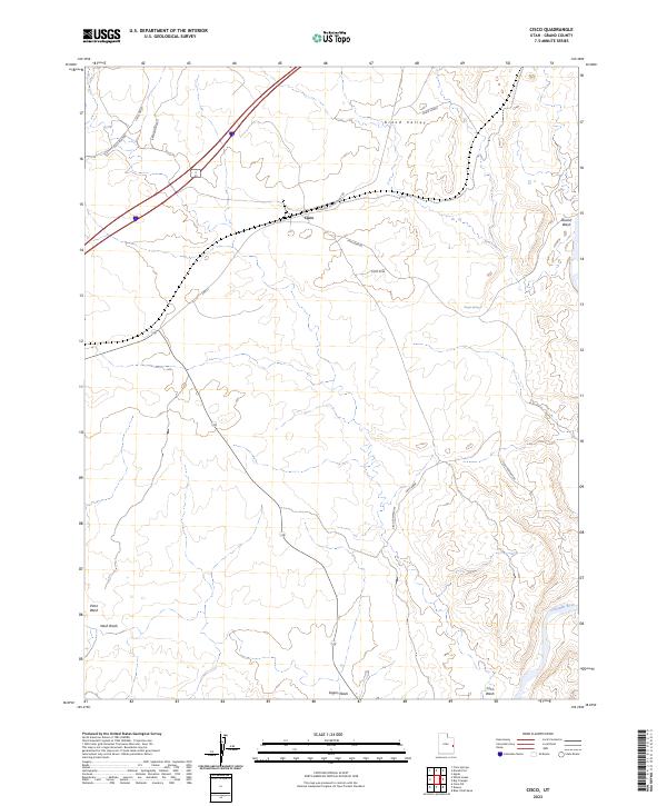
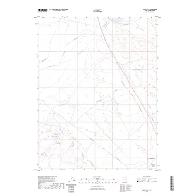
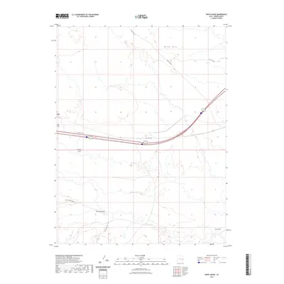
The Denver and Rio Grande Western railroad corridors define the northern landscape of this 1958 survey, where the small settlement of Thompson serves as a critical junction against the towering Book Cliffs. To the south, the map reveals an intensive era of uranium and vanadium exploration, marked by a dense cluster of workings such as the Ringtail Mine, Little Eva Mine, and Memphis Mines located within The Poison Strip and Yellow Cat Flat.
Find a feature on this map
74 named features on this map. Tap any name to fly to it.
Don’t see what you’re looking for? This feature index may not catch every label — zoom into the map to look around manually.
Map Details
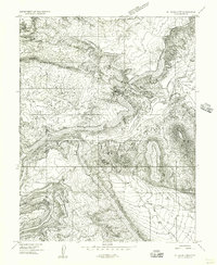
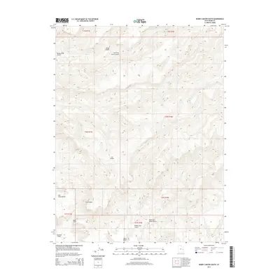
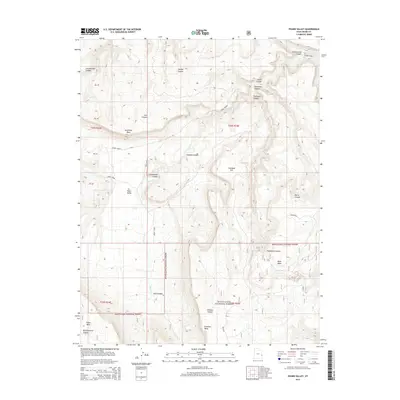
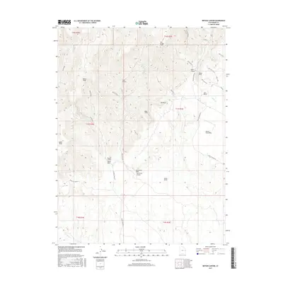
Editions of this 1958 Thompson Map
2 editions found
Historical Maps of Vista Through Time
438 maps found
1951 The Knoll
Grand County, UT
1952 Moab 3 NE
Grand County, UT
1952 Moab 3 NW
Grand County, UT
1952 Moab 3 SE
Grand County, UT
1952 Moab 3 SW
Grand County, UT
1952 Moab 4 NW
Grand County, UT
1952 Moab 4 SW
Grand County, UT
1952 Tidwell 4 NE
Grand County, UT
1954 Coates Creek
Grand County, UT
1954 Mt Peale 1 NE
Grand County, UT
1954 Mt. Waas 1 NE
Grand County, UT
1954 Mt. Waas 1 NW
Grand County, UT
1954 Mt. Waas 1 SE
Grand County, UT
1954 Mt. Waas 1 SW
Grand County, UT
1954 Mt. Waas 3 NE
Grand County, UT
1954 Mt. Waas 3 NW
Grand County, UT
1954 Mt. Waas 3 SE
Grand County, UT
1954 Mt. Waas 3 SW
Grand County, UT
1954 Mt. Waas 4 NE
Grand County, UT
1954 Mt. Waas 4 NW
Grand County, UT
1954 Mt. Waas 4 SE
Grand County, UT
1954 Mt. Waas 4 SW
Grand County, UT
1954 Polar Mesa
Grand County, UT
1954 Tidwell 1 NE
Grand County, UT
1954 Tidwell 1 SE
Grand County, UT
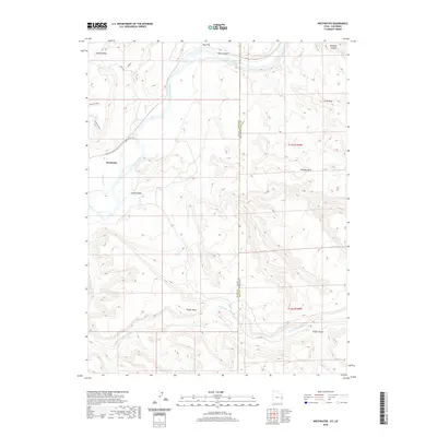
1954 Westwater 4 SW
Grand County, UT
1955 Mt. Waas 2 SE
Grand County, UT
1956 Westwater 4 SE
Grand County, UT

1958 Cisco
Grand County, UT
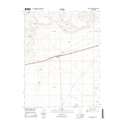
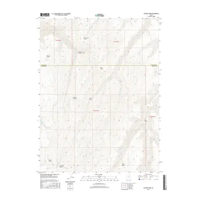
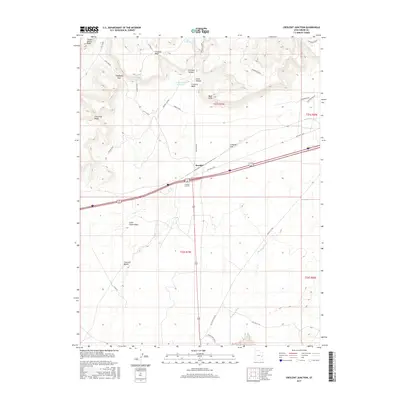
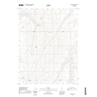
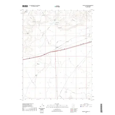
1958 Crescent Junction
Grand County, UT
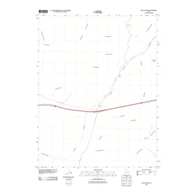
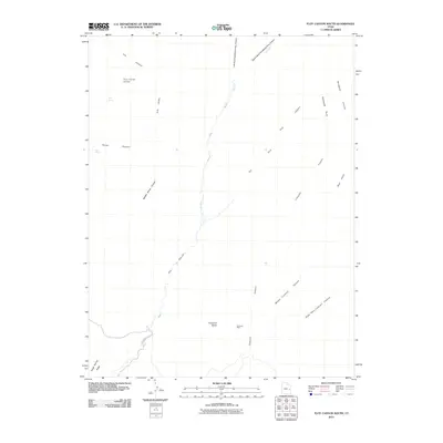
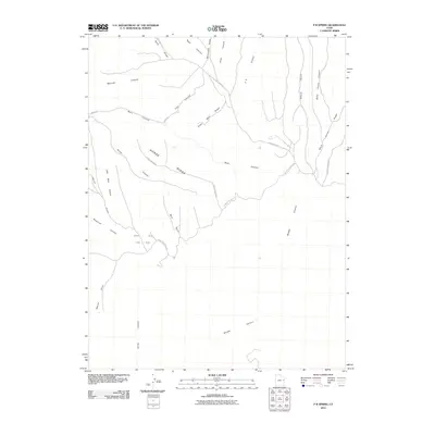
1958 Thompson
Grand County, UT
1959 Moab 4 NE
Grand County, UT
1959 Moab 4 SE
Grand County, UT
1963 Floy Canyon
Grand County, UT
1963 Moonwater Point
Grand County, UT
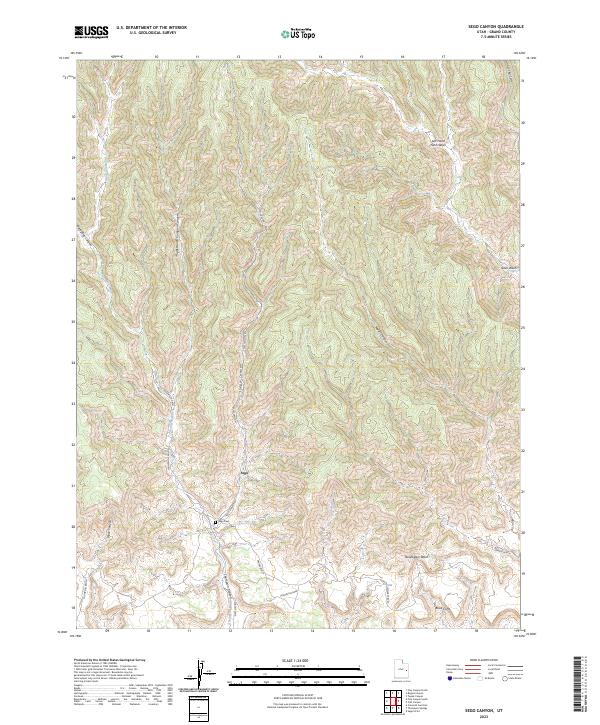
1963 Sego Canyon
Grand County, UT
1963 Tenmile Canyon
Grand County, UT
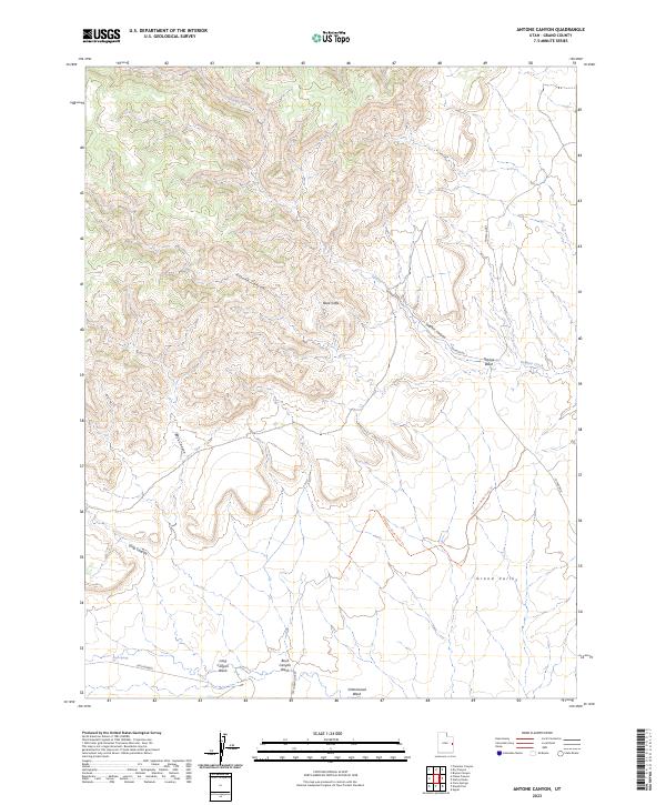
1970 Antone Canyon
Grand County, UT
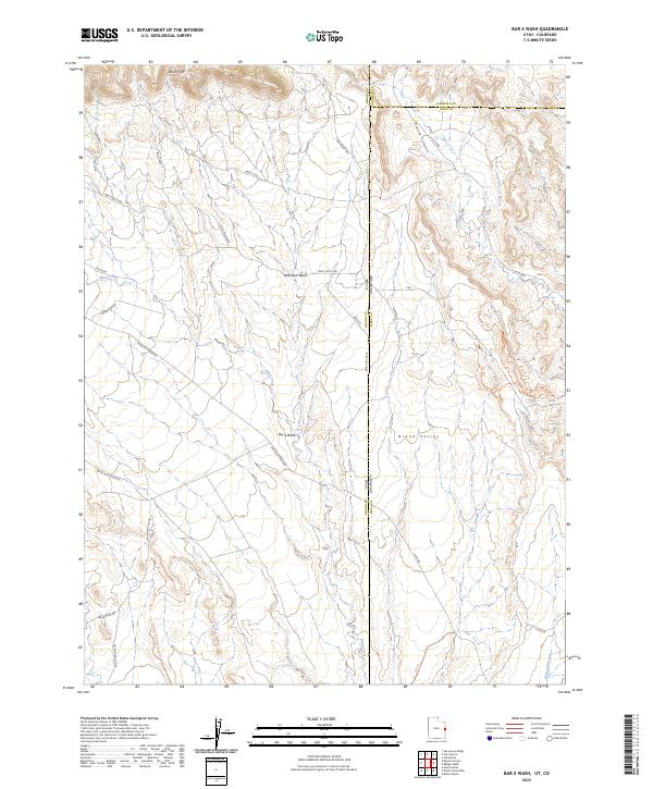
1970 Bar X Wash
Grand County, UT
1970 Bitter Creek Well
Grand County, UT
1970 Bryson Canyon
Grand County, UT
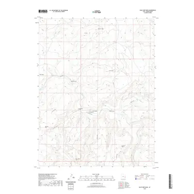
1970 Cedar Camp Canyon
Grand County, UT
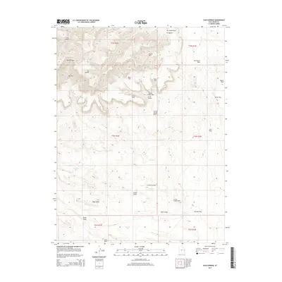
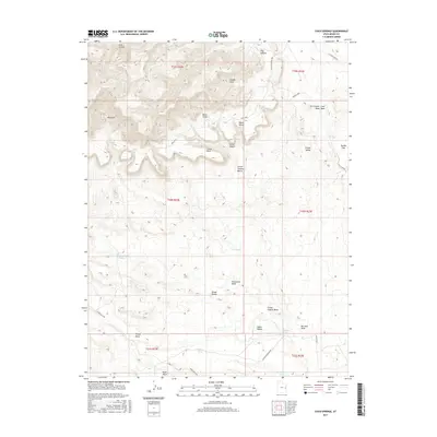
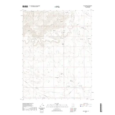
1970 Cisco Springs
Grand County, UT
1970 Danish Flat
Grand County, UT
1970 Dry Canyon
Grand County, UT
1970 Flume Canyon
Grand County, UT
1970 Harley Dome
Grand County, UT
1970 Jim Canyon
Grand County, UT
1970 Preacher Canyon
Grand County, UT

1970 P R Spring
Grand County, UT
1970 San Arroyo Ridge
Grand County, UT
1980 Westwater
Grand County, UT
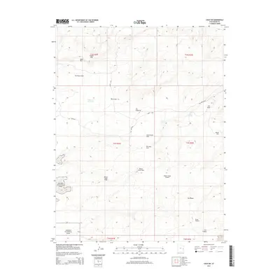
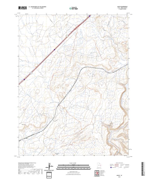
1985 Agate
Grand County, UT
1985 Big Bend
Grand County, UT
1985 Big Triangle
Grand County, UT
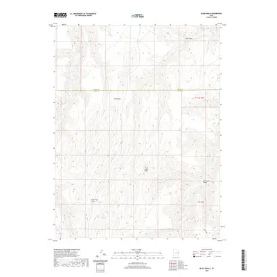
1985 Blue Chief Mesa
Grand County, UT
1985 Dewey
Grand County, UT
1985 Dolores Point North
Grand County, UT
1985 Dolores Point South
Grand County, UT
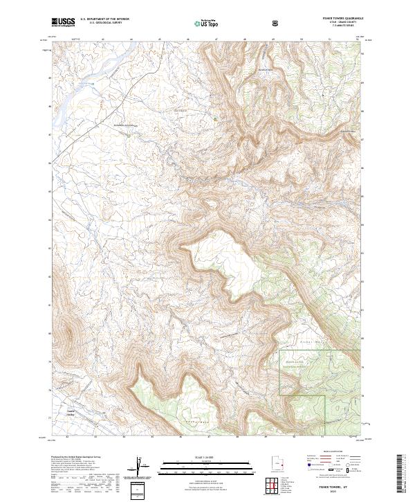
1985 Fisher Towers
Grand County, UT
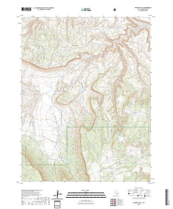
1985 Fisher Valley
Grand County, UT
1985 Gold Bar Canyon
Grand County, UT
1985 Marble Canyon
Grand County, UT
1985 Merrimac Butte
Grand County, UT
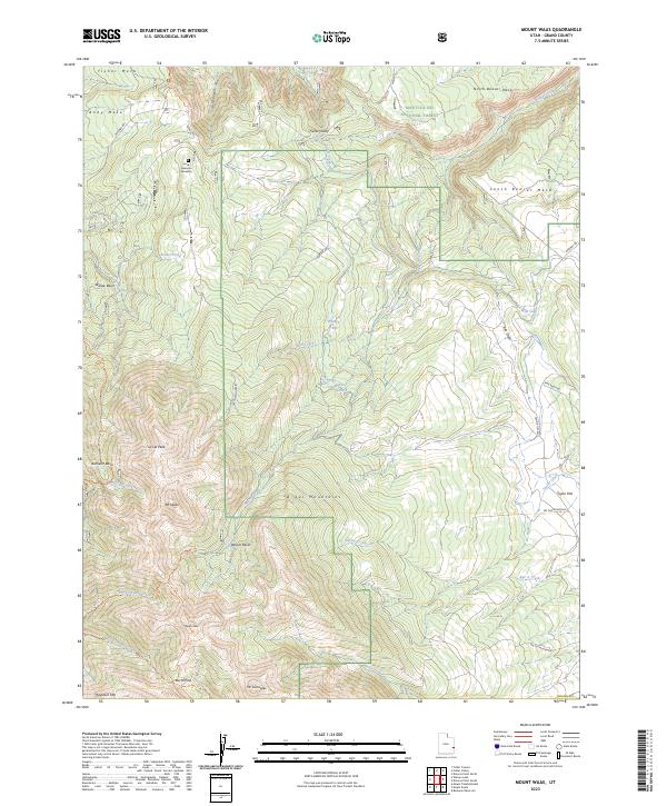
1985 Mount Waas
Grand County, UT

1985 Rill Creek
Grand County, UT
1985 Steamboat Mesa
Grand County, UT
1985 The Windows Section
Grand County, UT
1985 Westwater
Grand County, UT
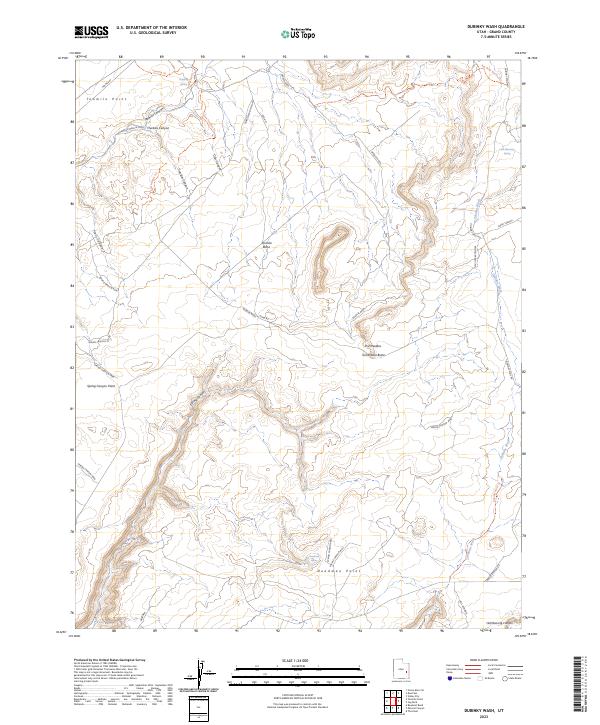
1988 Dubinky Wash
Grand County, UT
1988 Green River NE
Grand County, UT
1988 Green River SE
Grand County, UT
1988 Jug Rock
Grand County, UT
1988 Mineral Canyon
Grand County, UT
1988 Tenmile Point
Grand County, UT
1988 The Knoll
Grand County, UT
1991 Black Knolls
Grand County, UT
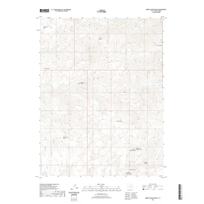
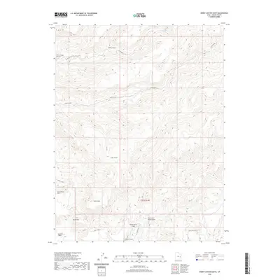
1991 Bobby Canyon North
Grand County, UT
1991 Bobby Canyon South
Grand County, UT
1991 Bogart Canyon
Grand County, UT
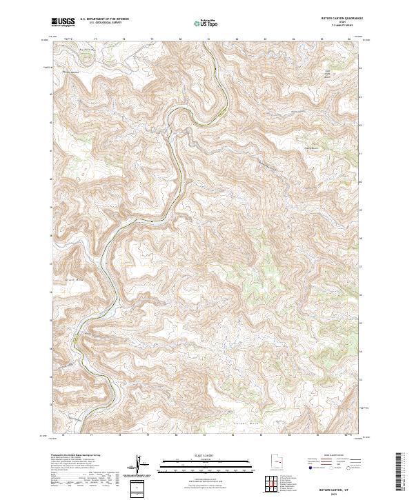
1991 Butler Canyon
Grand County, UT
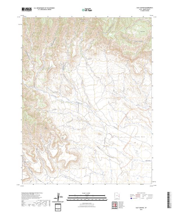
1991 Calf Canyon
Grand County, UT
1991 Checken Fork
Grand County, UT
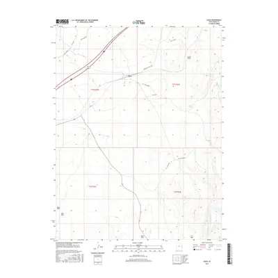
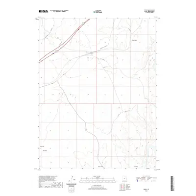
1991 Cisco
Grand County, UT
1991 Cisco SW
Grand County, UT
1991 Crescent Junction
Grand County, UT
1991 Dee Pass
Grand County, UT
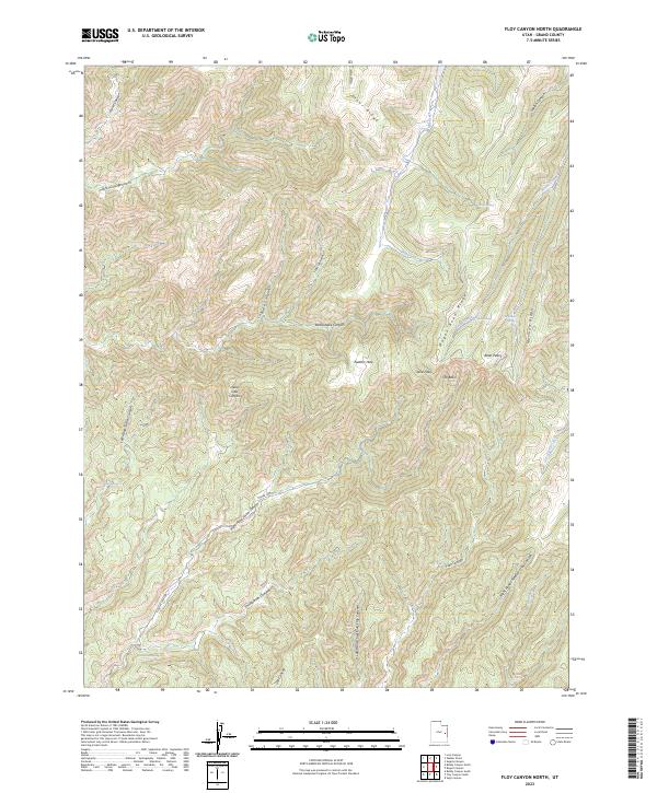
1991 Floy Canyon North
Grand County, UT
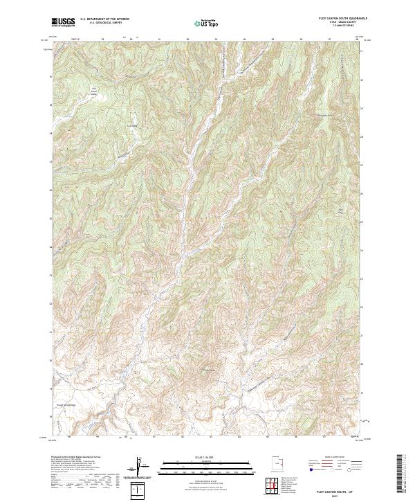
1991 Floy Canyon South
Grand County, UT
1991 Hatch Mesa
Grand County, UT
1991 Klondike Bluffs
Grand County, UT
1991 Lion Canyon
Grand County, UT
1991 Mollie Hogans
Grand County, UT
1991 Moonwater Point
Grand County, UT
1991 Sagers Flat
Grand County, UT
1991 Sego Canyon
Grand County, UT
1991 Supply Canyon
Grand County, UT
1991 Tenmile Canyon North
Grand County, UT
1991 Tenmile Canyon South
Grand County, UT
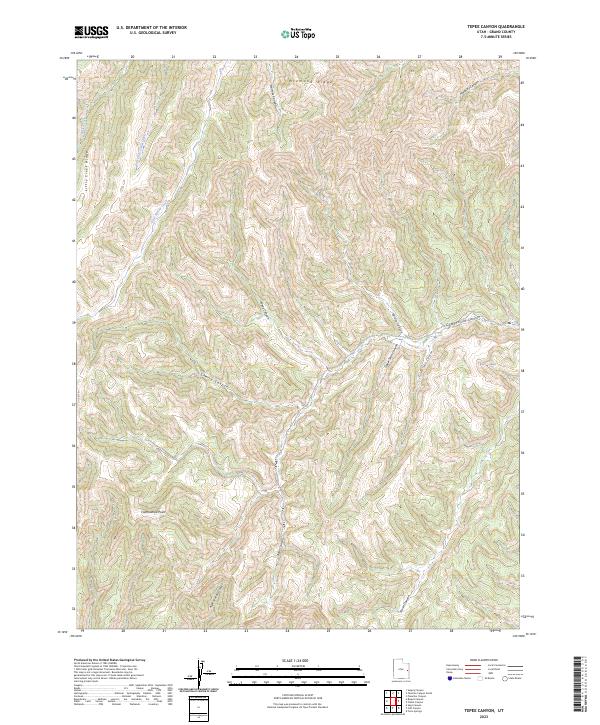
1991 Tepee Canyon
Grand County, UT
1991 Tusher Canyon
Grand County, UT
1991 Valley City
Grand County, UT
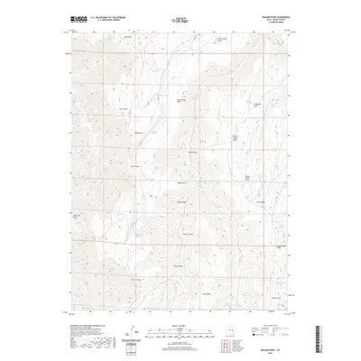
1991 Walker Point
Grand County, UT
1991 White House
Grand County, UT
1996 Mineral Canyon
Grand County, UT
1996 Rill Creek
Grand County, UT
1996 The Windows Section
Grand County, UT
2001 Dolores Point North
Grand County, UT
2001 Dolores Point South
Grand County, UT
2001 Fisher Towers
Grand County, UT
2001 Fisher Valley
Grand County, UT
2001 Mount Waas
Grand County, UT
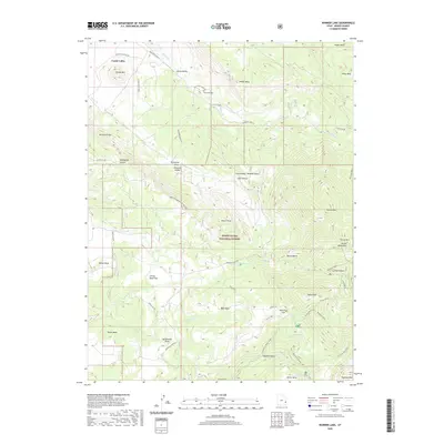
2001 Warner Lake
Grand County, UT
2010 Big Triangle
Grand County, UT
2010 Cisco
Grand County, UT
2010 Cisco SW
Grand County, UT
2010 Crescent Junction
Grand County, UT
2010 Dee Pass
Grand County, UT
2010 Dewey
Grand County, UT
2010 Dubinky Wash
Grand County, UT
2010 Gold Bar Canyon
Grand County, UT
2010 Green River NE
Grand County, UT
2010 Green River SE
Grand County, UT
2010 Hatch Mesa
Grand County, UT
2010 Jug Rock
Grand County, UT
2010 Klondike Bluffs
Grand County, UT
2010 Mollie Hogans
Grand County, UT
2010 Rill Creek
Grand County, UT
2010 Valley City
Grand County, UT
2010 White House
Grand County, UT
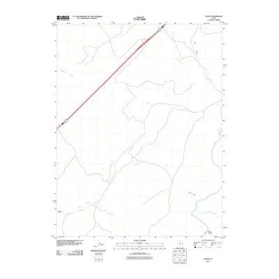
2011 Agate
Grand County, UT
2011 Antone Canyon
Grand County, UT
2011 Bar X Wash
Grand County, UT
2011 Big Bend
Grand County, UT
2011 Bitter Creek Well
Grand County, UT
2011 Black Knolls
Grand County, UT
2011 Blue Chief Mesa
Grand County, UT
2011 Bobby Canyon North
Grand County, UT
2011 Bobby Canyon South
Grand County, UT
2011 Bogart Canyon
Grand County, UT
2011 Bryson Canyon
Grand County, UT
2011 Butler Canyon
Grand County, UT
2011 Calf Canyon
Grand County, UT
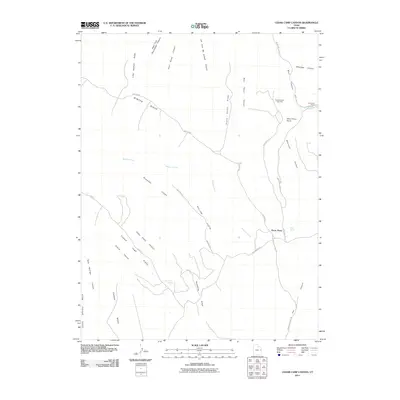
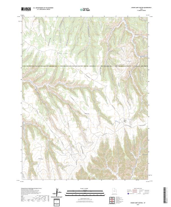
2011 Cedar Camp Canyon
Grand County, UT
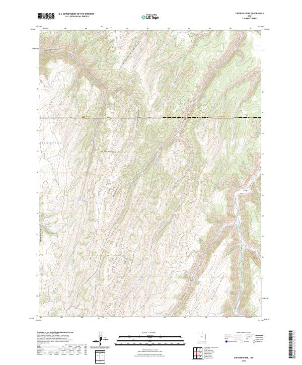
2011 Chicken Fork
Grand County, UT
2011 Cisco Springs
Grand County, UT
2011 Danish Flat
Grand County, UT
2011 Dry Canyon
Grand County, UT
2011 Fisher Towers
Grand County, UT
2011 Fisher Valley
Grand County, UT
2011 Floy Canyon North
Grand County, UT
2011 Floy Canyon South
Grand County, UT
2011 Flume Canyon
Grand County, UT
2011 Harley Dome
Grand County, UT
2011 Jim Canyon
Grand County, UT
2011 Lion Canyon
Grand County, UT
2011 Marble Canyon
Grand County, UT
2011 Merrimac Butte
Grand County, UT
2011 Mineral Canyon
Grand County, UT
2011 Moonwater Point
Grand County, UT
2011 Mount Waas
Grand County, UT
2011 Preacher Canyon
Grand County, UT
2011 P R Spring
Grand County, UT
2011 Sagers Flat
Grand County, UT
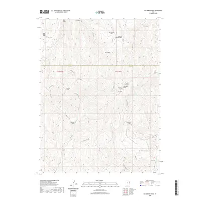
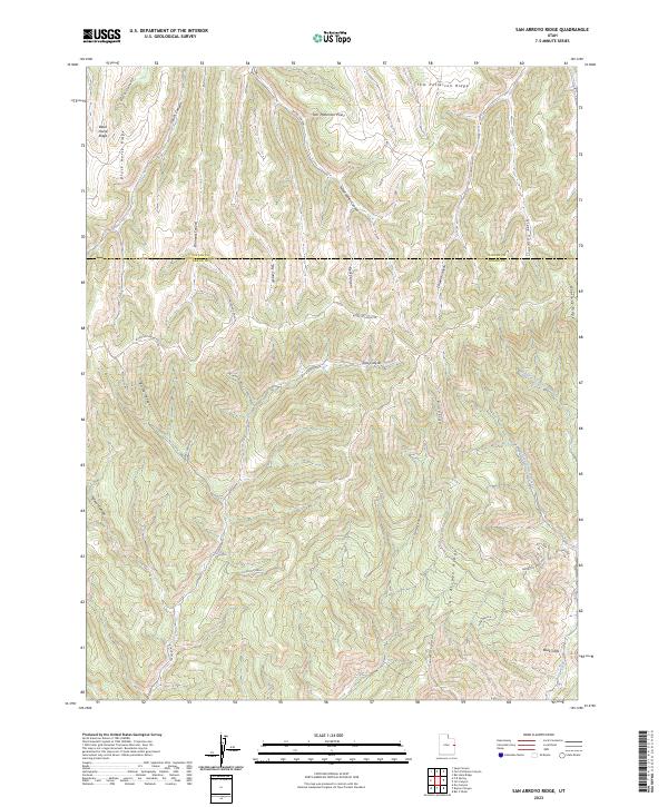
2011 San Arroyo Ridge
Grand County, UT
2011 Sego Canyon
Grand County, UT
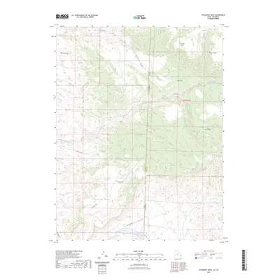
2011 Steamboat Mesa
Grand County, UT
2011 Supply Canyon
Grand County, UT
2011 Tenmile Canyon North
Grand County, UT
2011 Tenmile Canyon South
Grand County, UT
2011 Tenmile Point
Grand County, UT
2011 Tepee Canyon
Grand County, UT
2011 The Knoll
Grand County, UT
2011 The Windows Section
Grand County, UT
2011 Tusher Canyon
Grand County, UT
2011 Walker Point
Grand County, UT
2011 Warner Lake
Grand County, UT
2011 Westwater
Grand County, UT
2014 Agate
Grand County, UT
2014 Antone Canyon
Grand County, UT
2014 Bar X Wash
Grand County, UT
2014 Big Bend
Grand County, UT
2014 Big Triangle
Grand County, UT
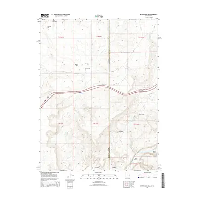
2014 Bitter Creek Well
Grand County, UT
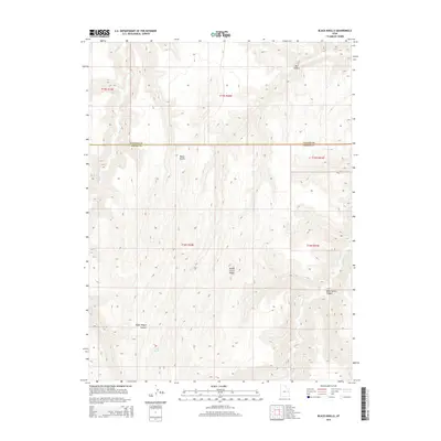
2014 Black Knolls
Grand County, UT
2014 Blue Chief Mesa
Grand County, UT
2014 Bobby Canyon North
Grand County, UT
2014 Bobby Canyon South
Grand County, UT
2014 Bogart Canyon
Grand County, UT
2014 Bryson Canyon
Grand County, UT
2014 Butler Canyon
Grand County, UT
2014 Calf Canyon
Grand County, UT
2014 Cedar Camp Canyon
Grand County, UT
2014 Chicken Fork
Grand County, UT
2014 Cisco
Grand County, UT
2014 Cisco Springs
Grand County, UT
2014 Cisco SW
Grand County, UT
2014 Crescent Junction
Grand County, UT
2014 Danish Flat
Grand County, UT
2014 Dee Pass
Grand County, UT

2014 Dewey
Grand County, UT
2014 Dry Canyon
Grand County, UT
2014 Dubinky Wash
Grand County, UT
2014 Fisher Towers
Grand County, UT
2014 Fisher Valley
Grand County, UT
2014 Floy Canyon North
Grand County, UT
2014 Floy Canyon South
Grand County, UT
2014 Flume Canyon
Grand County, UT
2014 Gold Bar Canyon
Grand County, UT
2014 Green River NE
Grand County, UT
2014 Green River SE
Grand County, UT
2014 Harley Dome
Grand County, UT

2014 Hatch Mesa
Grand County, UT
2014 Jim Canyon
Grand County, UT
2014 Jug Rock
Grand County, UT
2014 Klondike Bluffs
Grand County, UT
2014 Lion Canyon
Grand County, UT
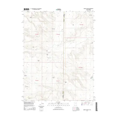
2014 Marble Canyon
Grand County, UT
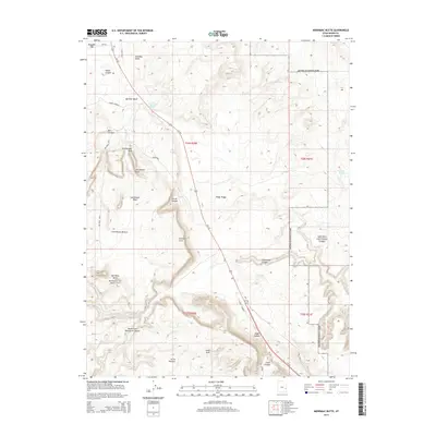
2014 Merrimac Butte
Grand County, UT
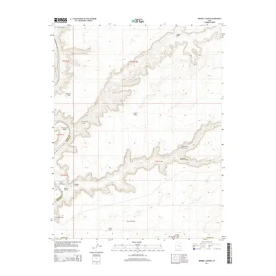
2014 Mineral Canyon
Grand County, UT
2014 Mollie Hogans
Grand County, UT
2014 Moonwater Point
Grand County, UT
2014 Mount Waas
Grand County, UT
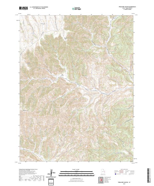
2014 Preacher Canyon
Grand County, UT
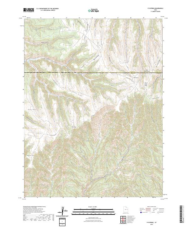
2014 P R Spring
Grand County, UT
2014 Rill Creek
Grand County, UT
2014 Sagers Flat
Grand County, UT
2014 San Arroyo Ridge
Grand County, UT
2014 Sego Canyon
Grand County, UT
2014 Steamboat Mesa
Grand County, UT
2014 Supply Canyon
Grand County, UT
2014 Tenmile Canyon North
Grand County, UT
2014 Tenmile Canyon South
Grand County, UT
2014 Tenmile Point
Grand County, UT
2014 Tepee Canyon
Grand County, UT
2014 The Knoll
Grand County, UT
2014 The Windows Section
Grand County, UT
2014 Tusher Canyon
Grand County, UT
2014 Valley City
Grand County, UT
2014 Walker Point
Grand County, UT
2014 Warner Lake
Grand County, UT
2014 Westwater
Grand County, UT
2014 White House
Grand County, UT
2017 Agate
Grand County, UT

2017 Antone Canyon
Grand County, UT
2017 Bar X Wash
Grand County, UT
2017 Big Bend
Grand County, UT
2017 Big Triangle
Grand County, UT
2017 Bitter Creek Well
Grand County, UT
2017 Black Knolls
Grand County, UT
2017 Blue Chief Mesa
Grand County, UT
2017 Bobby Canyon North
Grand County, UT
2017 Bobby Canyon South
Grand County, UT
2017 Bogart Canyon
Grand County, UT
2017 Bryson Canyon
Grand County, UT
2017 Butler Canyon
Grand County, UT
2017 Calf Canyon
Grand County, UT
2017 Cedar Camp Canyon
Grand County, UT
2017 Chicken Fork
Grand County, UT
2017 Cisco
Grand County, UT
2017 Cisco Springs
Grand County, UT
2017 Cisco SW
Grand County, UT
2017 Crescent Junction
Grand County, UT
2017 Danish Flat
Grand County, UT
2017 Dee Pass
Grand County, UT
2017 Dewey
Grand County, UT
2017 Dry Canyon
Grand County, UT
2017 Dubinky Wash
Grand County, UT
2017 Fisher Towers
Grand County, UT
2017 Fisher Valley
Grand County, UT
2017 Floy Canyon North
Grand County, UT
2017 Floy Canyon South
Grand County, UT
2017 Flume Canyon
Grand County, UT
2017 Gold Bar Canyon
Grand County, UT
2017 Green River NE
Grand County, UT
2017 Green River SE
Grand County, UT
2017 Harley Dome
Grand County, UT
2017 Hatch Mesa
Grand County, UT
2017 Jim Canyon
Grand County, UT
2017 Jug Rock
Grand County, UT
2017 Klondike Bluffs
Grand County, UT
2017 Lion Canyon
Grand County, UT
2017 Marble Canyon
Grand County, UT
2017 Merrimac Butte
Grand County, UT
2017 Mineral Canyon
Grand County, UT
2017 Mollie Hogans
Grand County, UT
2017 Moonwater Point
Grand County, UT
2017 Mount Waas
Grand County, UT
2017 Preacher Canyon
Grand County, UT
2017 P R Spring
Grand County, UT
2017 Rill Creek
Grand County, UT

2017 Sagers Flat
Grand County, UT
2017 San Arroyo Ridge
Grand County, UT
2017 Sego Canyon
Grand County, UT
2017 Steamboat Mesa
Grand County, UT
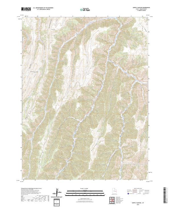
2017 Supply Canyon
Grand County, UT
2017 Tenmile Canyon North
Grand County, UT
2017 Tenmile Canyon South
Grand County, UT
2017 Tenmile Point
Grand County, UT
2017 Tepee Canyon
Grand County, UT
2017 The Knoll
Grand County, UT
2017 The Windows Section
Grand County, UT
2017 Tusher Canyon
Grand County, UT
2017 Valley City
Grand County, UT
2017 Walker Point
Grand County, UT
2017 Warner Lake
Grand County, UT
2017 Westwater
Grand County, UT
2017 White House
Grand County, UT
2020 Agate
Grand County, UT
2020 Antone Canyon
Grand County, UT
2020 Bar X Wash
Grand County, UT
2020 Big Bend
Grand County, UT
2020 Big Triangle
Grand County, UT
2020 Bitter Creek Well
Grand County, UT
2020 Black Knolls
Grand County, UT
2020 Blue Chief Mesa
Grand County, UT
2020 Bobby Canyon North
Grand County, UT
2020 Bobby Canyon South
Grand County, UT
2020 Bogart Canyon
Grand County, UT
2020 Bryson Canyon
Grand County, UT
2020 Butler Canyon
Grand County, UT
2020 Calf Canyon
Grand County, UT
2020 Cedar Camp Canyon
Grand County, UT
2020 Chicken Fork
Grand County, UT
2020 Cisco
Grand County, UT
2020 Cisco Springs
Grand County, UT
2020 Cisco SW
Grand County, UT
2020 Crescent Junction
Grand County, UT

2020 Danish Flat
Grand County, UT
2020 Dee Pass
Grand County, UT
2020 Dewey
Grand County, UT
2020 Dry Canyon
Grand County, UT
2020 Dubinky Wash
Grand County, UT
2020 Fisher Towers
Grand County, UT
2020 Fisher Valley
Grand County, UT
2020 Floy Canyon North
Grand County, UT
2020 Floy Canyon South
Grand County, UT
2020 Flume Canyon
Grand County, UT
2020 Gold Bar Canyon
Grand County, UT
2020 Green River NE
Grand County, UT
2020 Green River SE
Grand County, UT

2020 Harley Dome
Grand County, UT
2020 Hatch Mesa
Grand County, UT
2020 Jim Canyon
Grand County, UT
2020 Jug Rock
Grand County, UT
2020 Klondike Bluffs
Grand County, UT
2020 Lion Canyon
Grand County, UT
2020 Marble Canyon
Grand County, UT
2020 Merrimac Butte
Grand County, UT
2020 Mineral Canyon
Grand County, UT
2020 Mollie Hogans
Grand County, UT
2020 Moonwater Point
Grand County, UT
2020 Mount Waas
Grand County, UT
2020 Preacher Canyon
Grand County, UT
2020 P R Spring
Grand County, UT
2020 Rill Creek
Grand County, UT
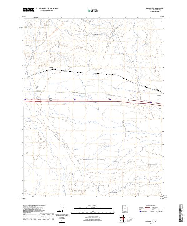
2020 Sagers Flat
Grand County, UT
2020 San Arroyo Ridge
Grand County, UT
2020 Sego Canyon
Grand County, UT
2020 Steamboat Mesa
Grand County, UT
2020 Supply Canyon
Grand County, UT
2020 Tenmile Canyon North
Grand County, UT
2020 Tenmile Canyon South
Grand County, UT
2020 Tenmile Point
Grand County, UT
2020 Tepee Canyon
Grand County, UT
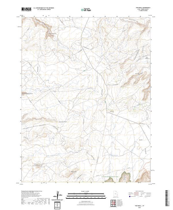
2020 The Knoll
Grand County, UT
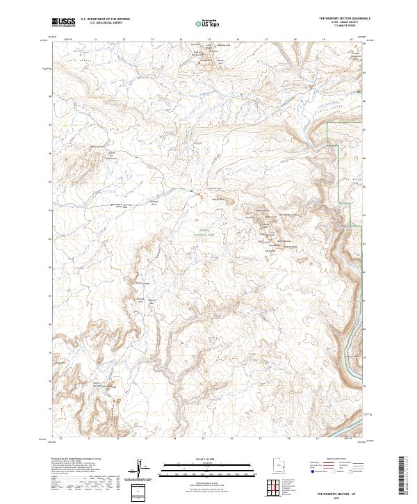
2020 The Windows Section
Grand County, UT
2020 Tusher Canyon
Grand County, UT
2020 Valley City
Grand County, UT
2020 Walker Point
Grand County, UT
2020 Warner Lake
Grand County, UT
2020 Westwater
Grand County, UT
2020 White House
Grand County, UT
2023 Agate
Grand County, UT
2023 Antone Canyon
Grand County, UT
2023 Bar X Wash
Grand County, UT

2023 Big Bend
Grand County, UT
2023 Big Triangle
Grand County, UT
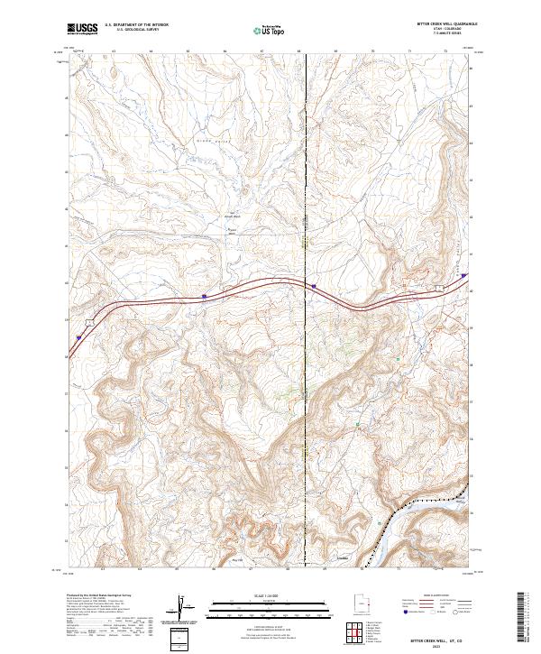
2023 Bitter Creek Well
Grand County, UT
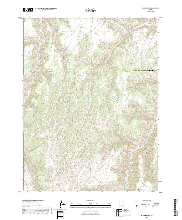
2023 Black Knolls
Grand County, UT
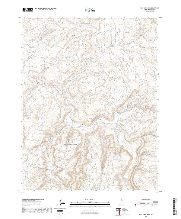
2023 Blue Chief Mesa
Grand County, UT
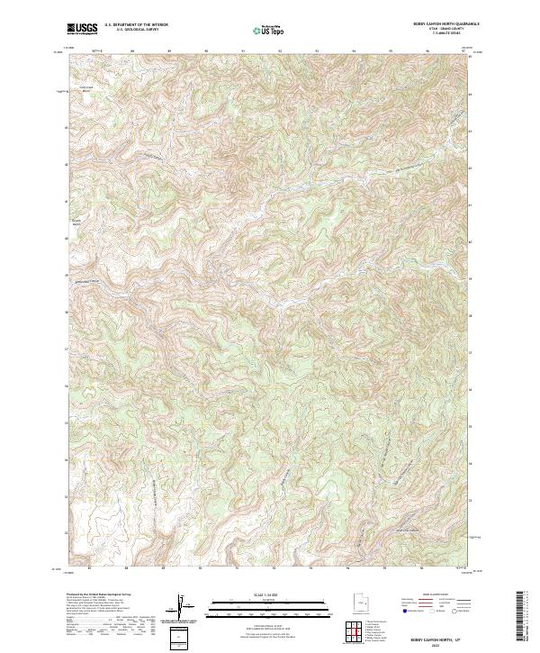
2023 Bobby Canyon North
Grand County, UT
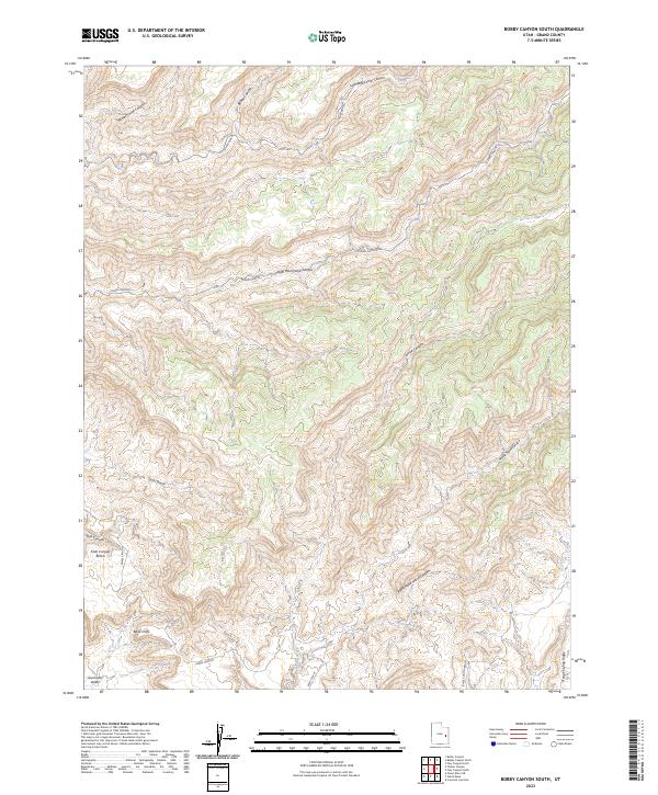
2023 Bobby Canyon South
Grand County, UT
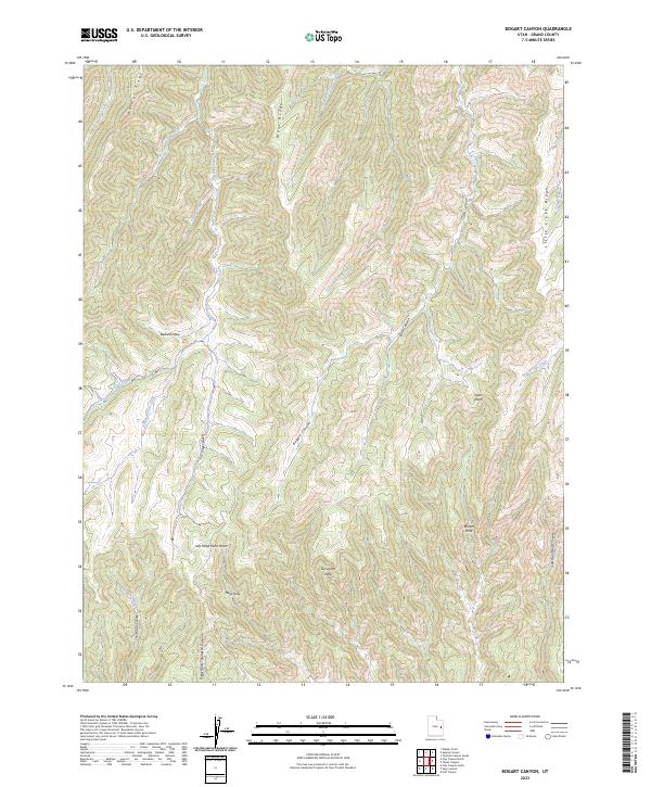
2023 Bogart Canyon
Grand County, UT
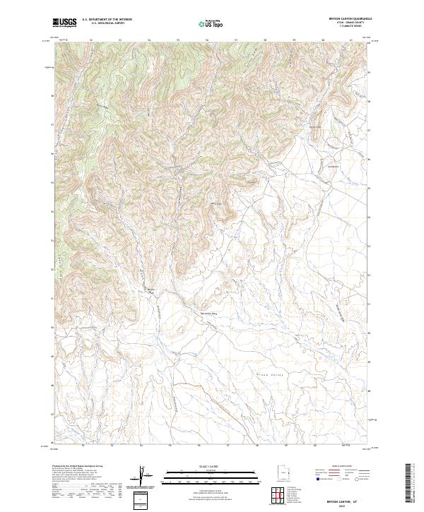
2023 Bryson Canyon
Grand County, UT
2023 Butler Canyon
Grand County, UT
2023 Calf Canyon
Grand County, UT
2023 Cedar Camp Canyon
Grand County, UT
2023 Chicken Fork
Grand County, UT
2023 Cisco
Grand County, UT
2023 Cisco Springs
Grand County, UT
2023 Cisco SW
Grand County, UT
2023 Crescent Junction
Grand County, UT
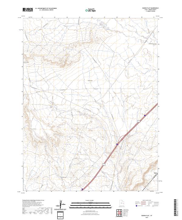
2023 Danish Flat
Grand County, UT
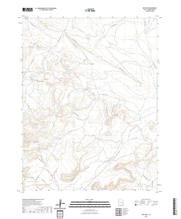
2023 Dee Pass
Grand County, UT
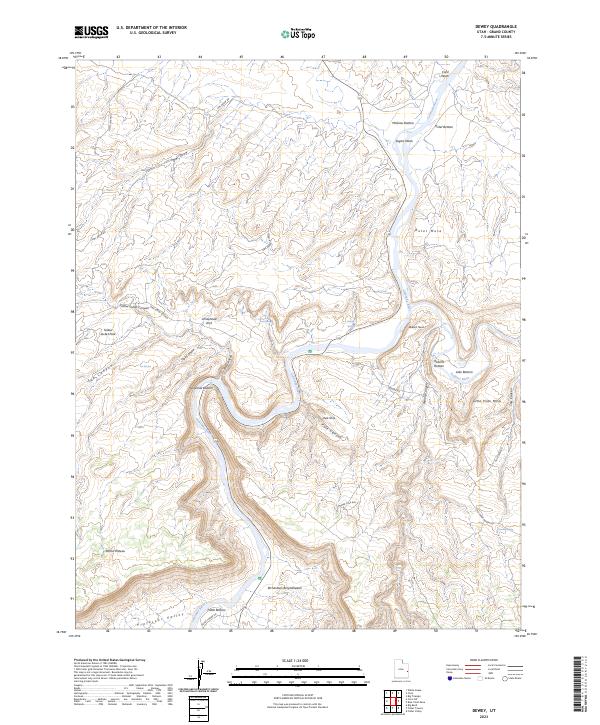
2023 Dewey
Grand County, UT
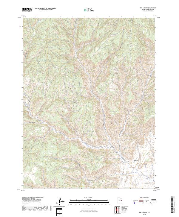
2023 Dry Canyon
Grand County, UT
2023 Dubinky Wash
Grand County, UT
2023 Fisher Towers
Grand County, UT
2023 Fisher Valley
Grand County, UT
2023 Floy Canyon North
Grand County, UT
2023 Floy Canyon South
Grand County, UT
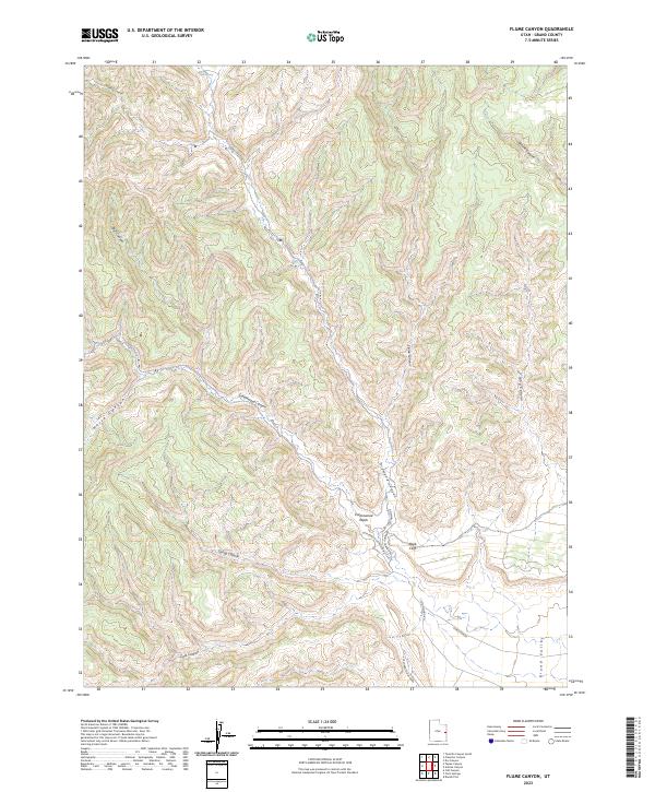
2023 Flume Canyon
Grand County, UT
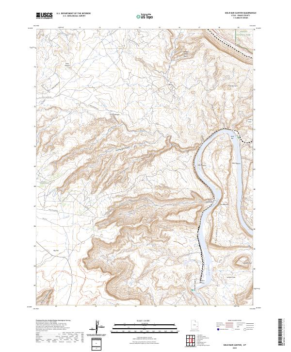
2023 Gold Bar Canyon
Grand County, UT
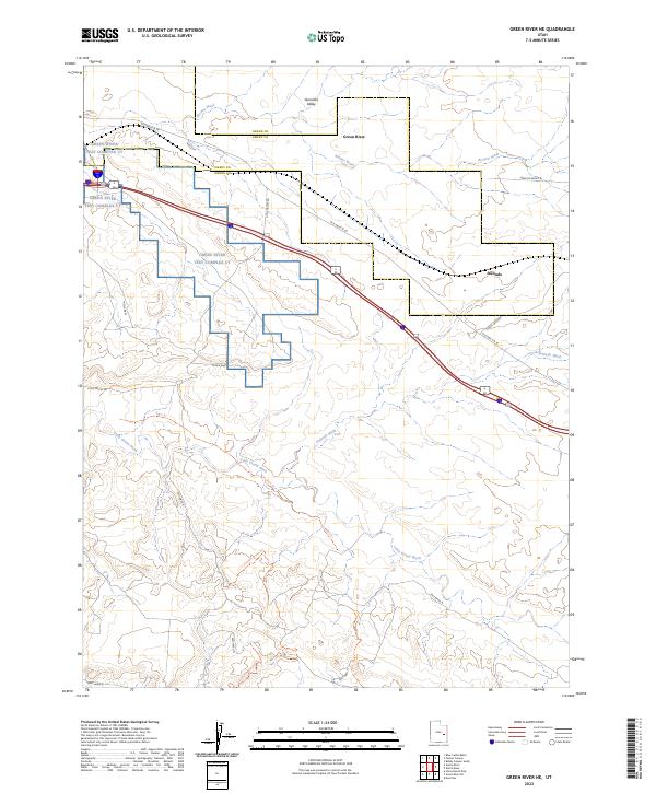
2023 Green River NE
Grand County, UT
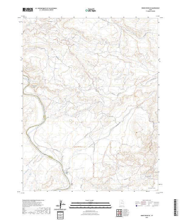
2023 Green River SE
Grand County, UT
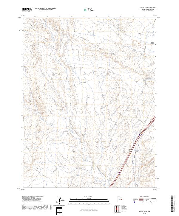
2023 Harley Dome
Grand County, UT
2023 Hatch Mesa
Grand County, UT
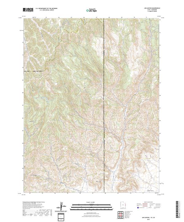
2023 Jim Canyon
Grand County, UT
2023 Jug Rock
Grand County, UT
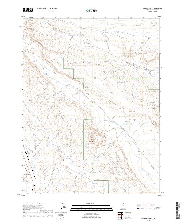
2023 Klondike Bluffs
Grand County, UT
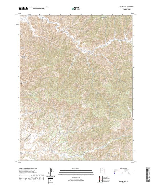
2023 Lion Canyon
Grand County, UT
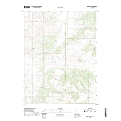
2023 Marble Canyon
Grand County, UT
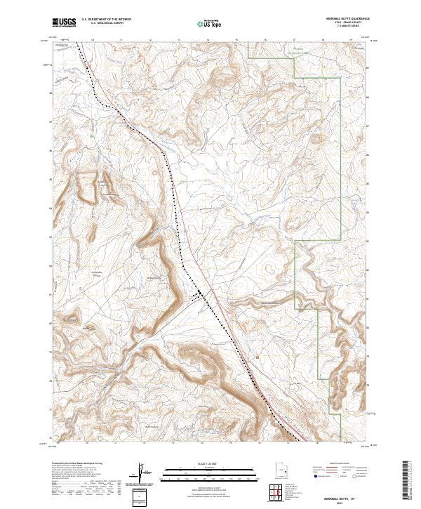
2023 Merrimac Butte
Grand County, UT
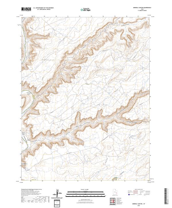
2023 Mineral Canyon
Grand County, UT
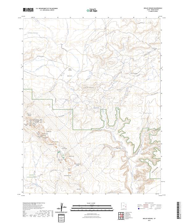
2023 Mollie Hogans
Grand County, UT
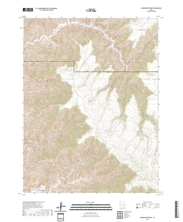
2023 Moonwater Point
Grand County, UT
2023 Mount Waas
Grand County, UT
2023 Preacher Canyon
Grand County, UT
2023 P R Spring
Grand County, UT
2023 Rill Creek
Grand County, UT
2023 Sagers Flat
Grand County, UT
2023 San Arroyo Ridge
Grand County, UT
2023 Sego Canyon
Grand County, UT
2023 Steamboat Mesa
Grand County, UT
2023 Supply Canyon
Grand County, UT
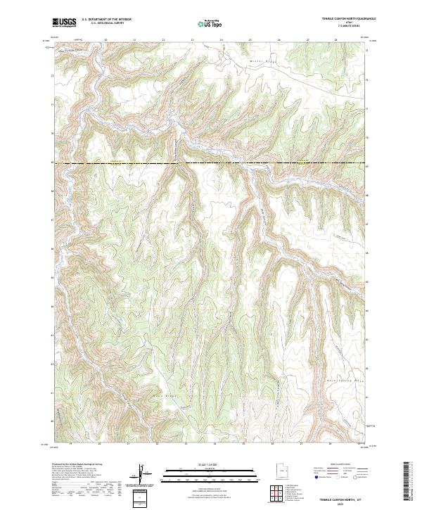
2023 Tenmile Canyon North
Grand County, UT
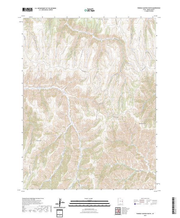
2023 Tenmile Canyon South
Grand County, UT
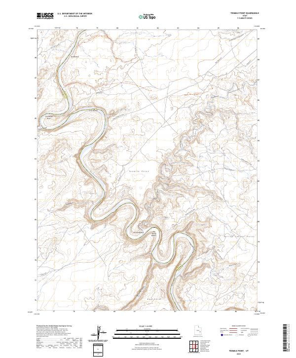
2023 Tenmile Point
Grand County, UT
2023 Tepee Canyon
Grand County, UT
2023 The Knoll
Grand County, UT
2023 The Windows Section
Grand County, UT
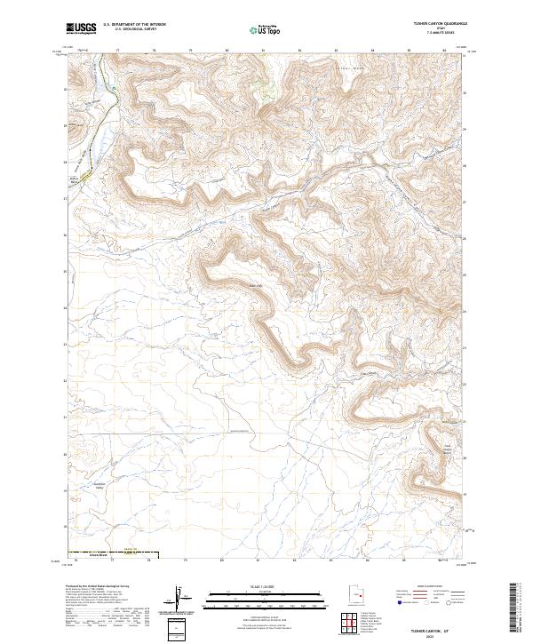
2023 Tusher Canyon
Grand County, UT
2023 Valley City
Grand County, UT
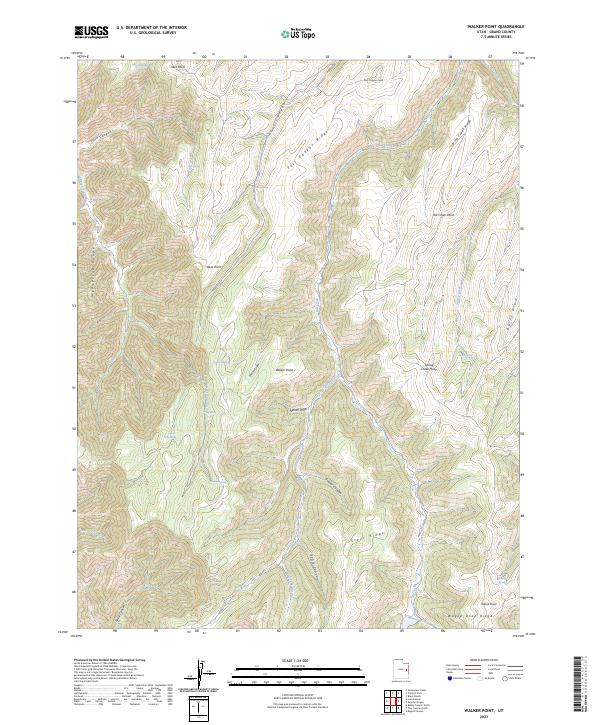
2023 Walker Point
Grand County, UT
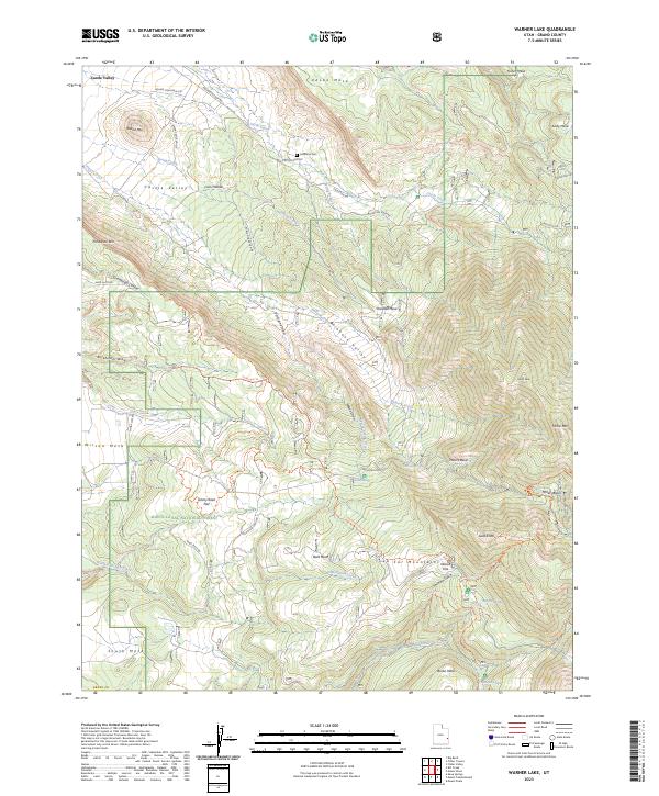
2023 Warner Lake
Grand County, UT
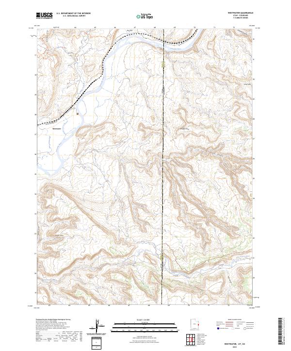
2023 Westwater
Grand County, UT
2023 White House
Grand County, UT