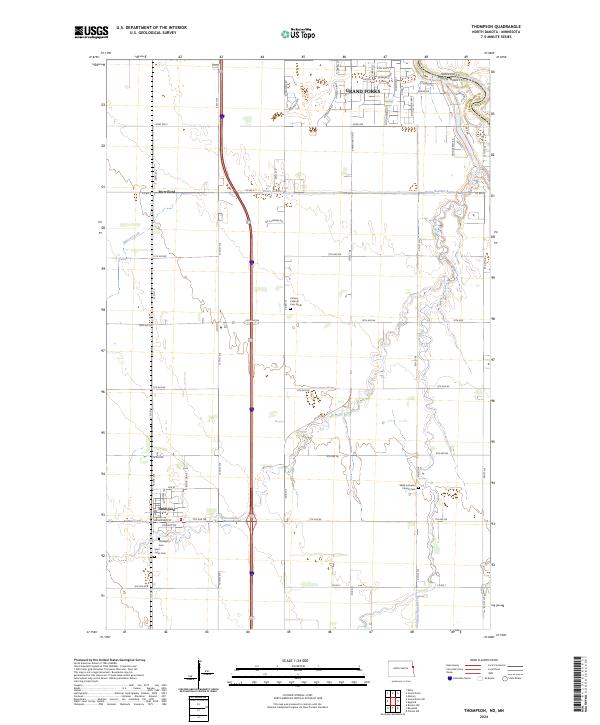
2024 Map of Thompson
USGS Topo · Published 2024About this map
Thompson and the southern outskirts of Grand Forks anchor this Red River Valley landscape, where the Minnesota and North Dakota border follows the winding course of the Red River of the North. The region's agrarian character is defined by a grid of rural roads and drainage systems like Drain Number 4 and Drain Number 10, which manage the low-lying terrain between Elm Coulee and Cole Creek.
Find a feature on this map
68 named features on this map. Tap any name to fly to it.
Don’t see what you’re looking for? This feature index may not catch every label — zoom into the map to look around manually.
Map Details
Editions of this 2024 Thompson Map
This is the sole edition of this map. No revisions or reprints were ever made.
Other maps of this area

1919 · Eldred
USGS Topo · 1:62,500

1934 · Grand Forks
USGS Topo · 1:24,000

1934 · Grand Forks
USGS Topo · 1:62,500

1938 · Grand Forks
USGS Topo · 1:62,500

1952 · Grand Forks
USGS Topo · 1:250,000

1956 · Grand Forks
USGS Topo · 1:250,000
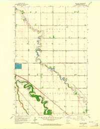
1963 · Mallory
USGS Topo · 1:24,000
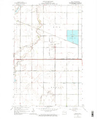
1963 · Kelly
USGS Topo · 1:24,000
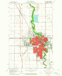
1963 · Grand Forks
USGS Topo · 1:24,000

1964 · Climax NW
USGS Topo · 1:24,000