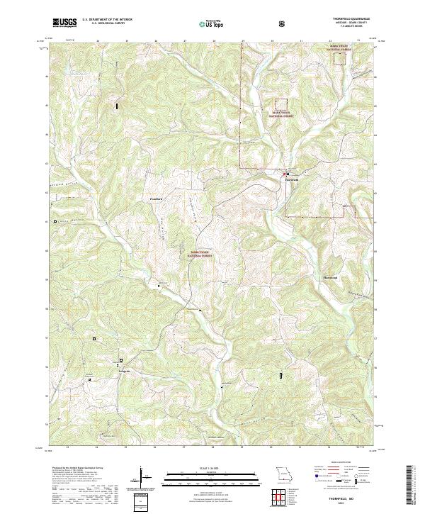
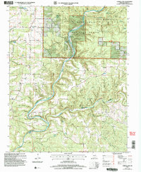
2021 Map of Thornfield
USGS Topo · Published 2021About this map
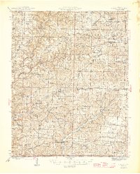
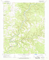
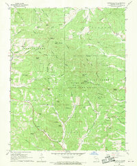
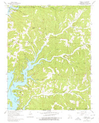
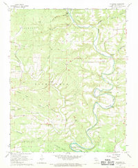
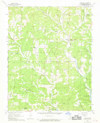
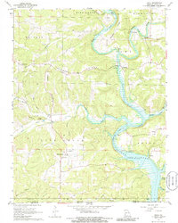
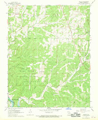
The Mark Twain National Forest dominates this section of the Ozarks, where the drainage of the Little N Fork White River and its various tributaries like Otter Cr and Pond Fork have carved a complex landscape of hollows. Small settlements and family burial grounds are scattered throughout the hills, including Thornfield and Longrun. The map reveals a high concentration of cemeteries for the area, such as Graham Smith Cem and Wallace Cem, providing significant data for genealogists tracing local families. The terrain is marked by distinctive elevations like Washington Bald and numerous named valleys such as Buttram Hollow and Greene Hollow. Along the southern edges, the Glade Top Trail skirts the ridges, reflecting the traditional transit routes that followed the high ground above the many winding creeks.
Find a feature on this map
46 named features on this map. Tap any name to fly to it.
Don’t see what you’re looking for? This feature index may not catch every label — zoom into the map to look around manually.
Map Details
Editions of this 2021 Thornfield Map
This is the sole edition of this map. No revisions or reprints were ever made.
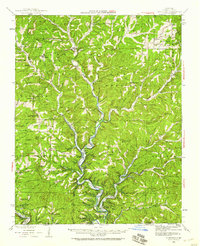
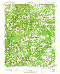
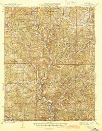
Historical Maps of Pondfork Through Time
23 maps found

1936 Thornfield
Ozark County, MO
1943 Thornfield
Ozark County, MO
1944 Cureall
Ozark County, MO
1945 Thornfield
Ozark County, MO
1946 Cureall
Ozark County, MO
1968 Cureall NW
Ozark County, MO
1968 Gainesville NW
Ozark County, MO
1968 Isabella
Ozark County, MO
1968 Sycamore
Ozark County, MO
1968 Thornfield
Ozark County, MO
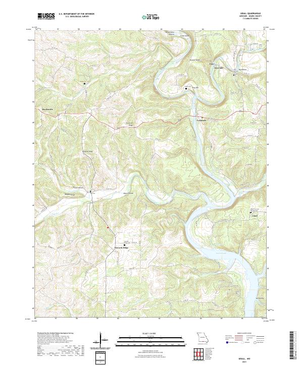
1968 Udall
Ozark County, MO
1968 Willhoit
Ozark County, MO
2004 Cureall NW
Ozark County, MO
2004 Isabella
Ozark County, MO
2004 Thornfield
Ozark County, MO
2004 Willhoit
Ozark County, MO
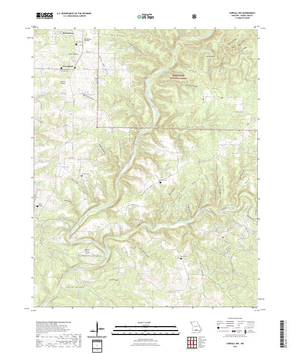
2021 Cureall NW
Ozark County, MO
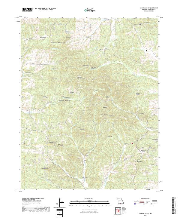
2021 Gainesville NW
Ozark County, MO
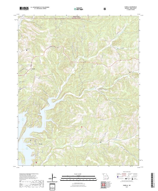
2021 Isabella
Ozark County, MO
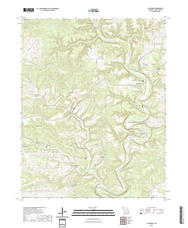
2021 Sycamore
Ozark County, MO
2021 Thornfield
Ozark County, MO
2021 Udall
Ozark County, MO
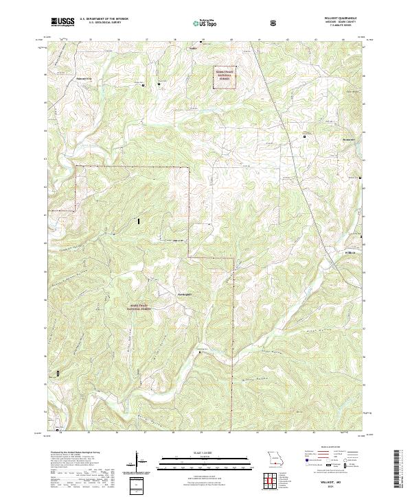
2021 Willhoit
Ozark County, MO