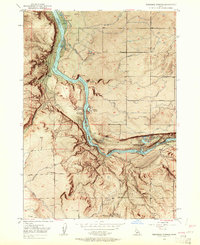
1949 Map of Thousand Springs
USGS Topo · Published 1962About this map
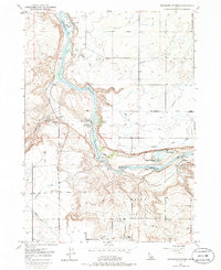
Thousand Springs and the winding Snake River dominate this mid-century landscape on the border of Gooding and Twin Falls counties. The map documents a sophisticated water management system defined by a network of irrigation ditches, a flume, and a pipe line, which supported the agricultural development of areas like Melon Valley. The presence of the Banbury Natatorium and Hot Water Wells speaks to the region's geothermal activity and its early development as a destination for recreation.
Find a feature on this map
31 named features on this map. Tap any name to fly to it.
Don’t see what you’re looking for? This feature index may not catch every label — zoom into the map to look around manually.
Map Details
Editions of this 1949 Thousand Springs Map
7 editions found
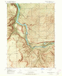
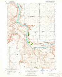
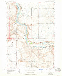
Other maps of this area

1949 · Thousand Springs
USGS Topo · 1:24,000

1949 · Tuttle
USGS Topo · 1:24,000

1949 · Hagerman
USGS Topo · 1:24,000

1950 · Hagerman
USGS Topo · 1:24,000

1950 · Niagara Springs
USGS Topo · 1:24,000

1950 · Jerome
USGS Topo · 1:62,500

1951 · Thousand Springs
USGS Topo · 1:24,000

1951 · Tuttle
USGS Topo · 1:24,000

1951 · Clover
USGS Topo · 1:24,000

1954 · Thousand Springs
USGS Topo · 1:24,000