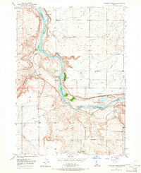
1949 Map of Thousand Springs
USGS Topo · Published 1965About this map
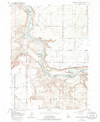
Snake River canyon walls define the geography of this mid-century Idaho landscape, where high desert plateaus drop sharply into a corridor of springs and falls. The map documents a unique hydro-economy where water emerges directly from the canyon walls at Thousand Springs and Banbury Springs. This abundant flow supported specialized recreation and industry, evidenced by the Banbury Natatorium, Hot Water Wells, and the Snake River Fish Hatchery (Private).
Find a feature on this map
28 named features on this map. Tap any name to fly to it.
Don’t see what you’re looking for? This feature index may not catch every label — zoom into the map to look around manually.
Map Details
Editions of this 1949 Thousand Springs Map
7 editions found
Other maps of this area

1949 · Thousand Springs
USGS Topo · 1:24,000

1949 · Tuttle
USGS Topo · 1:24,000

1949 · Hagerman
USGS Topo · 1:24,000

1950 · Hagerman
USGS Topo · 1:24,000

1950 · Niagara Springs
USGS Topo · 1:24,000

1950 · Jerome
USGS Topo · 1:62,500

1951 · Thousand Springs
USGS Topo · 1:24,000

1951 · Tuttle
USGS Topo · 1:24,000

1951 · Clover
USGS Topo · 1:24,000

1954 · Thousand Springs
USGS Topo · 1:24,000