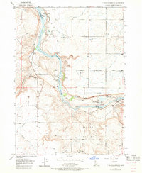
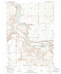
1949 Map of Thousand Springs
USGS Topo · Published 1966About this map
Thousand Springs and numerous other geothermal and freshwater outlets emerge along the canyon walls of the Snake River in this mid-century portrait of the Magic Valley. The landscape reveals a complex hydro-economy where the river's dramatic descent through Kanaka Rapids and past Devils Washbowl Falls is harnessed by a Powerhouse and surrounded by commercial aquaculture at the Snake River Fish Hatchery (Private).
Find a feature on this map
30 named features on this map. Tap any name to fly to it.
Don’t see what you’re looking for? This feature index may not catch every label — zoom into the map to look around manually.
Map Details
Editions of this 1949 Thousand Springs Map
7 editions found
Other maps of this area

1949 · Thousand Springs
USGS Topo · 1:24,000

1949 · Tuttle
USGS Topo · 1:24,000

1949 · Hagerman
USGS Topo · 1:24,000

1950 · Hagerman
USGS Topo · 1:24,000

1950 · Niagara Springs
USGS Topo · 1:24,000

1950 · Jerome
USGS Topo · 1:62,500

1951 · Thousand Springs
USGS Topo · 1:24,000

1951 · Tuttle
USGS Topo · 1:24,000

1951 · Clover
USGS Topo · 1:24,000

1954 · Thousand Springs
USGS Topo · 1:24,000