
1895 Map of Three Forks
USGS Topo · Published 1895About this map
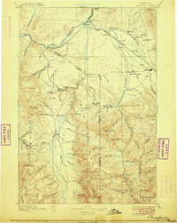
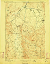
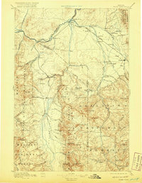
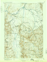
Virginia and the gold-bearing drainages of Alder Gulch anchor the southwestern corner of this late nineteenth-century Montana landscape. The survey documents a critical junction where the Madison River, Jefferson, and Gallatin Rivers converge to form the Missouri. This river-and-rail economy is defined by the Northern Pacific Railroad as it tracks through Three Forks, Logan, and Manhattan toward Bozeman. In the outlying valleys, small agricultural and mining hubs like Red Bluff, Sterling, and Pony illustrate the dispersed settlement patterns of the territorial era.
Find a feature on this map
122 named features on this map. Tap any name to fly to it.
Don’t see what you’re looking for? This feature index may not catch every label — zoom into the map to look around manually.
Map Details
Editions of this 1895 Three Forks Map
5 editions found
Other maps of this area

1885 · Gallatin
USGS Topo · 1:125,000

1885 · Gallatin
USGS Topo · 1:125,000

1886 · Fort Logan
USGS Topo · 1:250,000

1886 · Little Belt Mts.
USGS Topo · 1:250,000

1888 · Three Forks
USGS Topo · 1:250,000

1889 · Helena
USGS Topo · 1:250,000

1891 · Livingston
USGS Topo · 1:250,000

1893 · Helena
USGS Topo · 1:250,000

1893 · Dillon
USGS Topo · 1:250,000

1893 · Livingston
USGS Topo · 1:250,000