
1932 Map of Three Sisters
USGS Topo · Published 1932About this map
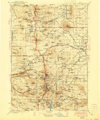
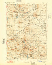
Sisters and the early settlement of Camp Polk serve as the eastern gateways to the high volcanic peaks of the Central Oregon Cascades in this 1932 edition. The map details the transition from the high desert plains into the dense timber of the Santiam National Forest and Deschutes National Forest. The landscape is dominated by a chain of massive summits and craters, including North Sister, Middle Sister, and South Sister, alongside the glaciated peak of Broken Top.
Find a feature on this map
74 named features on this map. Tap any name to fly to it.
Don’t see what you’re looking for? This feature index may not catch every label — zoom into the map to look around manually.
Map Details
Editions of this 1932 Three Sisters Map
3 editions found
Other maps of this area

1925 · Waldo Lake
USGS Topo · 1:125,000

1926 · Bend
USGS Topo · 1:125,000

1927 · Mt. Jefferson
USGS Topo · 1:125,000

1928 · Madras
USGS Topo · 1:125,000

1929 · Mill City
USGS Topo · 1:125,000

1929 · Bend
USGS Topo · 1:125,000

1929 · Three Sisters
USGS Topo · 1:125,000

1930 · Maiden Peak
USGS Topo · 1:125,000

1930 · Mt. Jefferson
USGS Topo · 1:125,000

1931 · Madras
USGS Topo · 1:125,000