
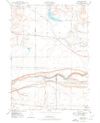
1948 Map of Ticeska
USGS Topo · Published 1973About this map
Snake River canyon walls dominate this Idaho landscape, where the Union Pacific (Oregon Short Line) railroad tracks hug the northern bank through the station point of Ticeska. The infrastructure of the late 1940s is defined by water management and transit, featuring the Bliss Dam and an extensive network of irrigation ditches and siphons serving the surrounding plateaus. Above the river, the terrain transitions into prominent basaltic features like Burnt Ridge and Gopher Knoll.
Find a feature on this map
21 named features on this map. Tap any name to fly to it.
Don’t see what you’re looking for? This feature index may not catch every label — zoom into the map to look around manually.
Map Details
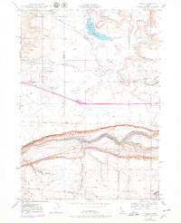
Editions of this 1948 Ticeska Map
3 editions found
Other maps of this area

1892 · Camas Prairie
USGS Topo · 1:125,000

1893 · Camas Prairie
USGS Topo · 1:125,000

1947 · Pasadena Valley
USGS Topo · 1:24,000

1948 · Pasadena Valley
USGS Topo · 1:24,000

1948 · Twentymile Butte
USGS Topo · 1:24,000

1949 · Ticeska
USGS Topo · 1:24,000

1949 · Pasadena Valley
USGS Topo · 1:62,500

1949 · Bliss
USGS Topo · 1:24,000

1949 · Hagerman
USGS Topo · 1:24,000

1949 · Indian Butte
USGS Topo · 1:24,000