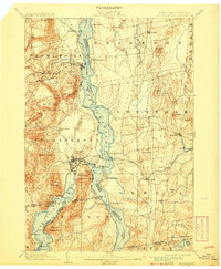
1902 Map of Ticonderoga
USGS Topo · Published 1908About this map
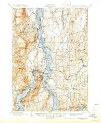
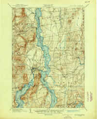
Lake Champlain serves as the central artery for this turn-of-the-century landscape, bisecting the border between New York and Vermont. The map highlights the historic military geography of the region, specifically marking the Ft. Ticonderoga Ruin and the strategic heights of Mt. Defiance and Mt. Independence. Transportation patterns of the early 1900s are clearly visible, from the Route of Steamers plying the lake waters to the rail networks of the Delaware and Hudson R.R. and the Rutland R.R.. Beyond the military landmarks, the economy is evidenced by Iron mining near Crown Point Center and the agricultural settlements of Shoreham and Orwell. For researchers, the map provides precise locations for defunct rail stops like Addison Junction and Huffs Crossing, alongside family-named landmarks like Hemingway Hill and Chipmans Point, capturing the intersection of colonial history and early industrial development.
Find a feature on this map
103 named features on this map. Tap any name to fly to it.
Don’t see what you’re looking for? This feature index may not catch every label — zoom into the map to look around manually.
Map Details
Editions of this 1902 Ticonderoga Map
11 editions found

1902 edition
16.6 x 20.1 inches
1905 edition
16.6 x 20.1 inches
1908 edition
16.6 x 20.2 inches
1912 edition
16 x 19.7 inches
1923 edition
16.6 x 20.2 inches
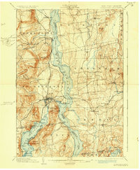
1930 edition
16.6 x 20.2 inches
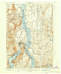
1933 edition
16.6 x 20.1 inches
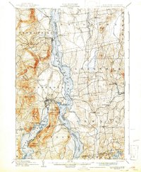
1942 edition
16.44 x 19.92 inches
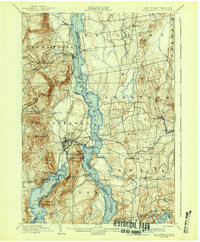
1942 edition
16.6 x 20.1 inches
1945 edition
17.02 x 20.86 inches
1945 edition
17 x 20.8 inches
Other maps of this area

1893 · Whitehall
USGS Topo · 1:62,500

1894 · Elizabethtown
USGS Topo · 1:62,500

1894 · Port Henry
USGS Topo · 1:62,500

1894 · Ticonderoga
USGS Topo · 1:62,500

1895 · Whitehall
USGS Topo · 1:62,500

1895 · Elizabethtown
USGS Topo · 1:62,500

1895 · Paradox Lake
USGS Topo · 1:62,500

1895 · Castleton
USGS Topo · 1:62,500

1896 · Ticonderoga
USGS Topo · 1:62,500

1897 · Bolton
USGS Topo · 1:62,500