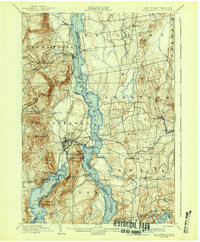
1902 Map of Ticonderoga
USGS Topo · Published 1942About this map
Lake Champlain and Lake George converge in this detailed late 19th-century study, revealing a landscape defined by strategic military history and a bustling turn-of-the-century transport network. The presence of Fort Ticonderoga and the Ticonderoga Ruin near the shores of Lake Champlain anchors the map in the colonial past, while the contemporary era is represented by a dense web of rail lines and ferry points. The Delaware and Hudson R.R. and its Baldwin Branch connect the lakes, supporting the movement of Steamers that plied these waters. Settlement patterns are concentrated at industrial and transit hubs like Ticonderoga, Crown Point Center, and Addison Junction. High ground features like Mt. Defiance and Rogers Slide provide clear context for the area's geography, while scattered landmarks such as Indian Kettles and Anthonys Nose offer specific points of interest for genealogists tracing local family landholdings.
Find a feature on this map
98 named features on this map. Tap any name to fly to it.
Don’t see what you’re looking for? This feature index may not catch every label — zoom into the map to look around manually.
Map Details
Editions of this 1902 Ticonderoga Map
11 editions found

1902 edition
16.6 x 20.1 inches
1905 edition
16.6 x 20.1 inches
1908 edition
16.6 x 20.2 inches
1912 edition
16 x 19.7 inches
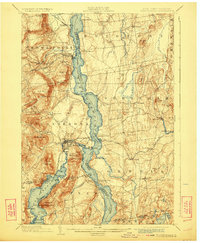
1923 edition
16.6 x 20.2 inches
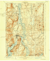
1930 edition
16.6 x 20.2 inches
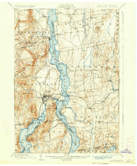
1933 edition
16.6 x 20.1 inches
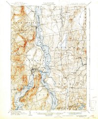
1942 edition
16.44 x 19.92 inches
1942 edition
16.6 x 20.1 inches
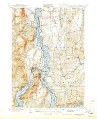
1945 edition
17.02 x 20.86 inches
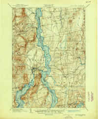
1945 edition
17 x 20.8 inches
Other maps of this area

1893 · Whitehall
USGS Topo · 1:62,500

1894 · Elizabethtown
USGS Topo · 1:62,500

1894 · Port Henry
USGS Topo · 1:62,500

1894 · Ticonderoga
USGS Topo · 1:62,500

1895 · Whitehall
USGS Topo · 1:62,500

1895 · Elizabethtown
USGS Topo · 1:62,500

1895 · Paradox Lake
USGS Topo · 1:62,500

1895 · Castleton
USGS Topo · 1:62,500

1896 · Ticonderoga
USGS Topo · 1:62,500

1897 · Bolton
USGS Topo · 1:62,500