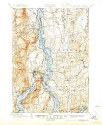
1902 Map of Ticonderoga
USGS Topo · Published 1945About this map
Fort Ticonderoga and the Ticonderoga Ruin dominate the narrow passage where Lake George and Lake Champlain meet. This strategic bottleneck, surveyed just before the turn of the century, reveals an intricate network of late 19th-century transportation. The map captures the specialized transit infrastructure of the era, from the Addison Co. Steamers plying the waters to the Rutland R.R. and D. and H. R.R. lines that connected the lakeside settlements.
Find a feature on this map
101 named features on this map. Tap any name to fly to it.
Don’t see what you’re looking for? This feature index may not catch every label — zoom into the map to look around manually.
Map Details
Editions of this 1902 Ticonderoga Map
11 editions found

1902 edition
16.6 x 20.1 inches
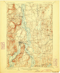
1905 edition
16.6 x 20.1 inches
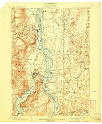
1908 edition
16.6 x 20.2 inches
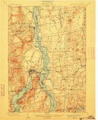
1912 edition
16 x 19.7 inches
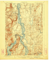
1923 edition
16.6 x 20.2 inches
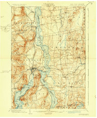
1930 edition
16.6 x 20.2 inches
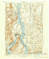
1933 edition
16.6 x 20.1 inches
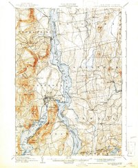
1942 edition
16.44 x 19.92 inches
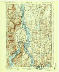
1942 edition
16.6 x 20.1 inches
1945 edition
17.02 x 20.86 inches
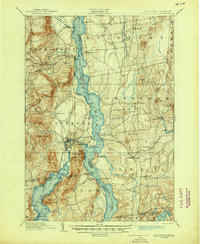
1945 edition
17 x 20.8 inches
Other maps of this area

1893 · Whitehall
USGS Topo · 1:62,500

1894 · Elizabethtown
USGS Topo · 1:62,500

1894 · Port Henry
USGS Topo · 1:62,500

1894 · Ticonderoga
USGS Topo · 1:62,500

1895 · Whitehall
USGS Topo · 1:62,500

1895 · Elizabethtown
USGS Topo · 1:62,500

1895 · Paradox Lake
USGS Topo · 1:62,500

1895 · Castleton
USGS Topo · 1:62,500

1896 · Ticonderoga
USGS Topo · 1:62,500

1897 · Bolton
USGS Topo · 1:62,500