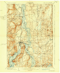
1902 Map of Ticonderoga
USGS Topo · Published 1930About this map
Ft. Ticonderoga Ruin stands as a focal point at the narrow connection between Lake Champlain and Lake George, a landscape defined by military history and the transport networks of the late nineteenth century. The strategic importance of the heights is evident in the positioning of Mt. Defiance and Mt. Independence, which overlook the water gaps. In the early 1900s, this region was a critical corridor for both rail and water transit, featuring the Delaware and Hudson R.R. and its Baldwin Branch, alongside the Rutland R.R. and the Addison Branch crossing the lake at Addison Junction.
Find a feature on this map
100 named features on this map. Tap any name to fly to it.
Don’t see what you’re looking for? This feature index may not catch every label — zoom into the map to look around manually.
Map Details
Editions of this 1902 Ticonderoga Map
11 editions found

1902 edition
16.6 x 20.1 inches
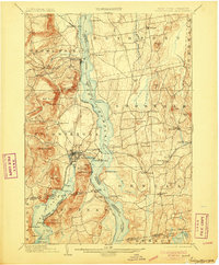
1905 edition
16.6 x 20.1 inches
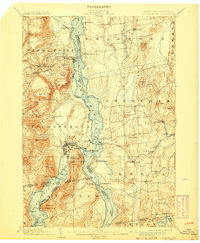
1908 edition
16.6 x 20.2 inches
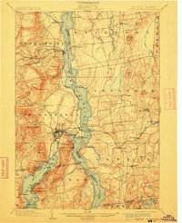
1912 edition
16 x 19.7 inches
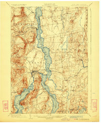
1923 edition
16.6 x 20.2 inches
1930 edition
16.6 x 20.2 inches
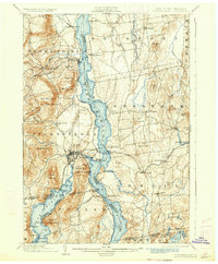
1933 edition
16.6 x 20.1 inches
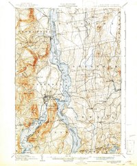
1942 edition
16.44 x 19.92 inches
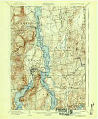
1942 edition
16.6 x 20.1 inches
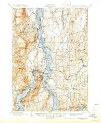
1945 edition
17.02 x 20.86 inches
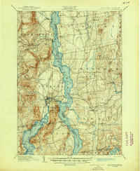
1945 edition
17 x 20.8 inches
Other maps of this area

1893 · Whitehall
USGS Topo · 1:62,500

1894 · Elizabethtown
USGS Topo · 1:62,500

1894 · Port Henry
USGS Topo · 1:62,500

1894 · Ticonderoga
USGS Topo · 1:62,500

1895 · Whitehall
USGS Topo · 1:62,500

1895 · Elizabethtown
USGS Topo · 1:62,500

1895 · Paradox Lake
USGS Topo · 1:62,500

1895 · Castleton
USGS Topo · 1:62,500

1896 · Ticonderoga
USGS Topo · 1:62,500

1897 · Bolton
USGS Topo · 1:62,500