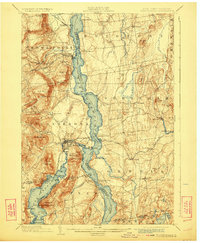
1902 Map of Ticonderoga
USGS Topo · Published 1923About this map
Lake Champlain serves as the dominant axis of this survey, dividing the tactical heights and historic sites of New York and Vermont at the turn of the century. The map centers on the narrow straits between Mt. Defiance and Mt. Independence, highlighting the strategic geography of Ticonderoga and the nearby Ft. Ticonderoga Ruin. Transportation networks are well-defined, showing the Delaware and Hudson RR meeting the shoreline at Baldwin, while the Rutland RR and its Addison Branch serve the Vermont side through East Shoreham and Shoreham. Regional industry is noted by Iron deposits near Crown Point, and the landscape is dotted with family-named landmarks like Deignault Hill and Barnum Hill. This edition captures a world of steam ferries and rail junctions just before the shift toward modern highway dominance.
Find a feature on this map
94 named features on this map. Tap any name to fly to it.
Don’t see what you’re looking for? This feature index may not catch every label — zoom into the map to look around manually.
Map Details
Editions of this 1902 Ticonderoga Map
11 editions found

1902 edition
16.6 x 20.1 inches
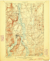
1905 edition
16.6 x 20.1 inches
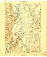
1908 edition
16.6 x 20.2 inches
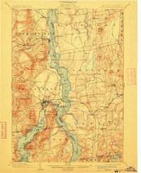
1912 edition
16 x 19.7 inches
1923 edition
16.6 x 20.2 inches
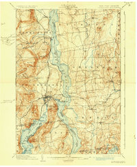
1930 edition
16.6 x 20.2 inches
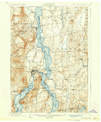
1933 edition
16.6 x 20.1 inches
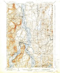
1942 edition
16.44 x 19.92 inches
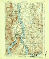
1942 edition
16.6 x 20.1 inches
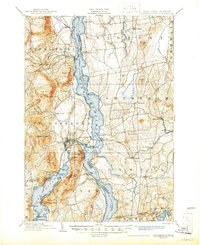
1945 edition
17.02 x 20.86 inches
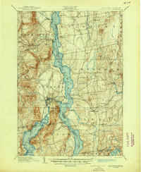
1945 edition
17 x 20.8 inches
Other maps of this area

1893 · Whitehall
USGS Topo · 1:62,500

1894 · Elizabethtown
USGS Topo · 1:62,500

1894 · Port Henry
USGS Topo · 1:62,500

1894 · Ticonderoga
USGS Topo · 1:62,500

1895 · Whitehall
USGS Topo · 1:62,500

1895 · Elizabethtown
USGS Topo · 1:62,500

1895 · Paradox Lake
USGS Topo · 1:62,500

1895 · Castleton
USGS Topo · 1:62,500

1896 · Ticonderoga
USGS Topo · 1:62,500

1897 · Bolton
USGS Topo · 1:62,500