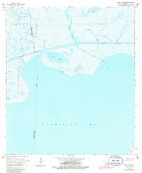
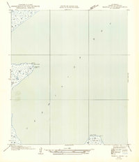
1963 Map of Tigre Lagoon
USGS Topo · Published 1986About this map
The salt-marsh and coastal wetlands of the Vermilion Parish Iberia Parish boundary dominate this mid-century survey, defined by the industrial intersections of the Intracoastal Waterway and the Tigre Lagoon Oil and Gas Field. The landscape is a complex network of bayous, including Petite Anse Bayou, Bayou Portage, and Bayou Hebert, which weave through the inundated lowlands toward the expansive Vermilion Bay.
Find a feature on this map
17 named features on this map. Tap any name to fly to it.
Don’t see what you’re looking for? This feature index may not catch every label — zoom into the map to look around manually.
Map Details
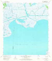
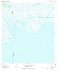
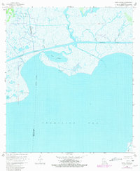
Editions of this 1963 Tigre Lagoon Map
4 editions found
Other maps of this area

1932 · Abbeville SE
USGS Topo · 1:31,680

1932 · Abbeville NE
USGS Topo · 1:31,680

1937 · Derouen
USGS Topo · 1:62,500

1945 · New Orleans
USGS Topo · 1:250,000

1946 · Redfish Point NE
USGS Topo · 1:31,680

1948 · Cypremort Point
USGS Topo · 1:24,000

1949 · Cypremort Pt
USGS Topo · 1:31,680

1951 · Cheniere Au Tigre
USGS Topo · 1:62,500
1954 · Redfish Point NE
USGS Topo · 1:31,680

1954 · Port Arthur
USGS Topo · 1:250,000