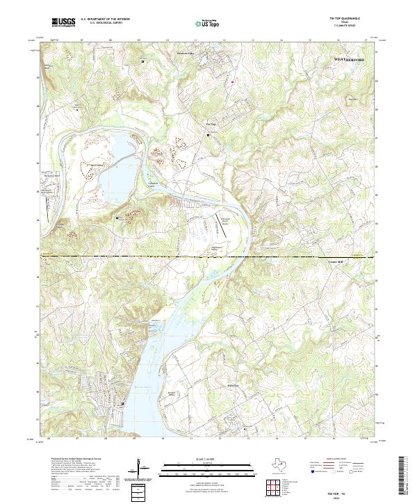
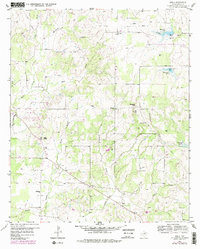
2022 Map of Tin Top
USGS Topo · Published 2022This historical map portrays the area of Tin Top in 2022, primarily covering Parker County as well as portions of Hood County. Featuring a scale of 1:24000, this map provides a highly detailed snapshot of the terrain, roads, buildings, counties, and historical landmarks in the Tin Top region at the time. Published in 2022, it is the sole known edition of this map.
Map Details
Editions of this 2022 Tin Top Map
This is the sole edition of this map. No revisions or reprints were ever made.
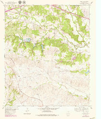
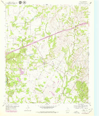
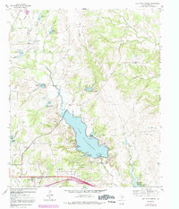
Historical Maps of Hood County Through Time
22 maps found
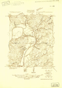
1924 Weatherford 3-d
Parker County, TX
1955 Springtown SE
Parker County, TX
1958 Chapin
Parker County, TX
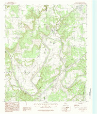
1959 Adell
Parker County, TX
1959 Anneta
Parker County, TX
1959 Brock
Parker County, TX
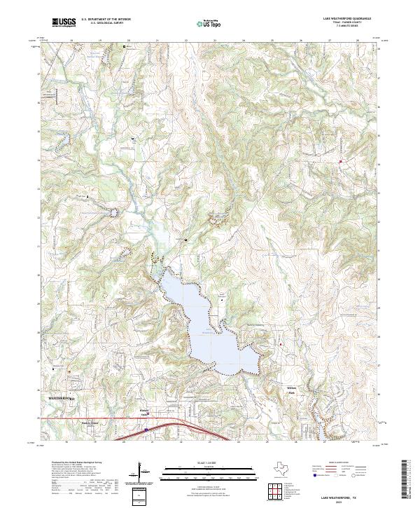
1959 Lake Weatherford
Parker County, TX
1959 Poolville
Parker County, TX
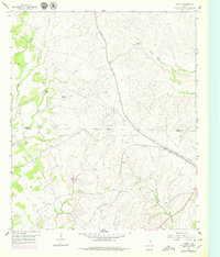
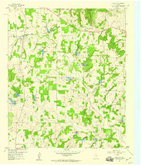
1959 Tin Top
Parker County, TX
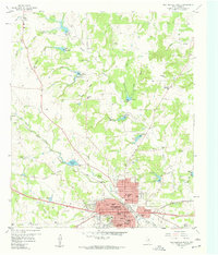
1959 Weatherford North
Parker County, TX
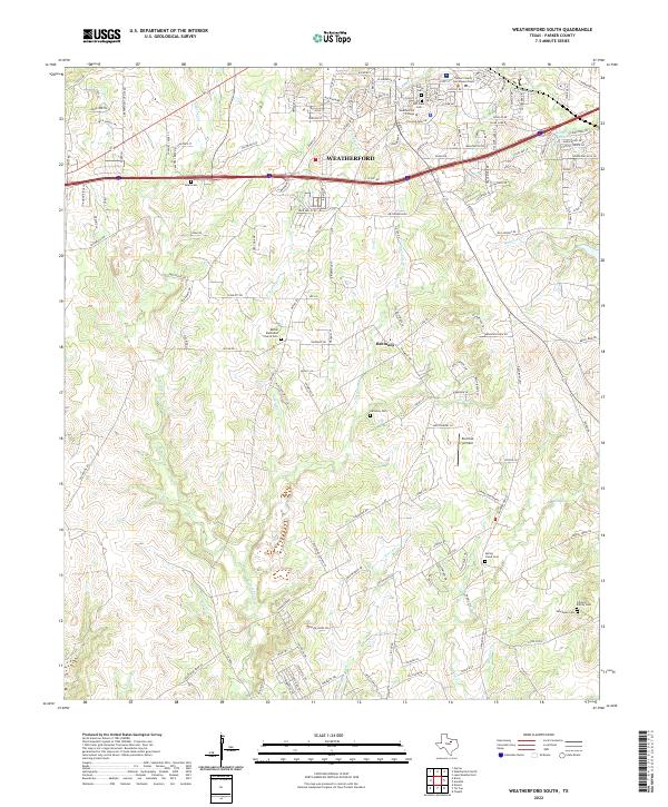
1959 Weatherford South
Parker County, TX
1984 Brazos East
Parker County, TX
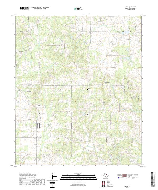
2022 Adell
Parker County, TX
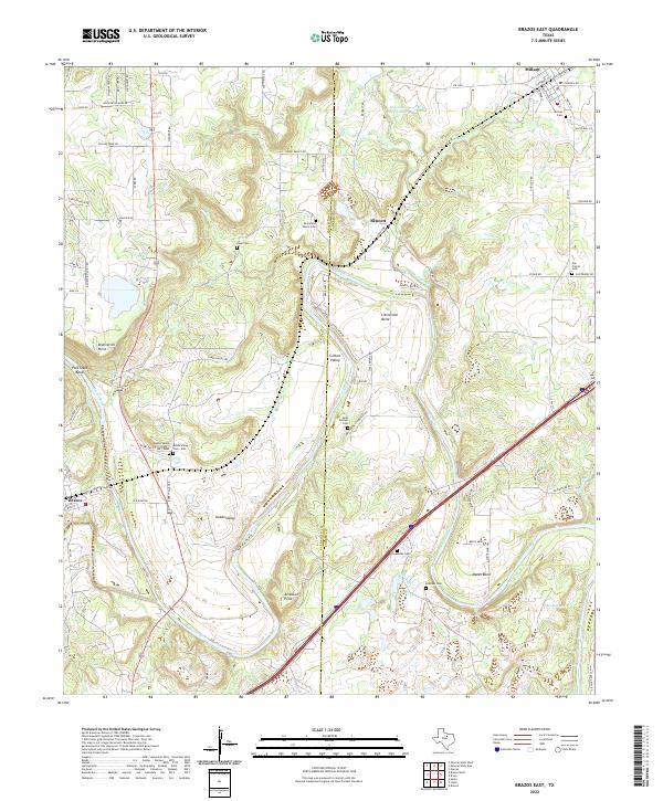
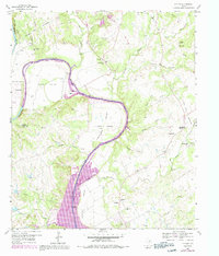
2022 Brazos East
Parker County, TX
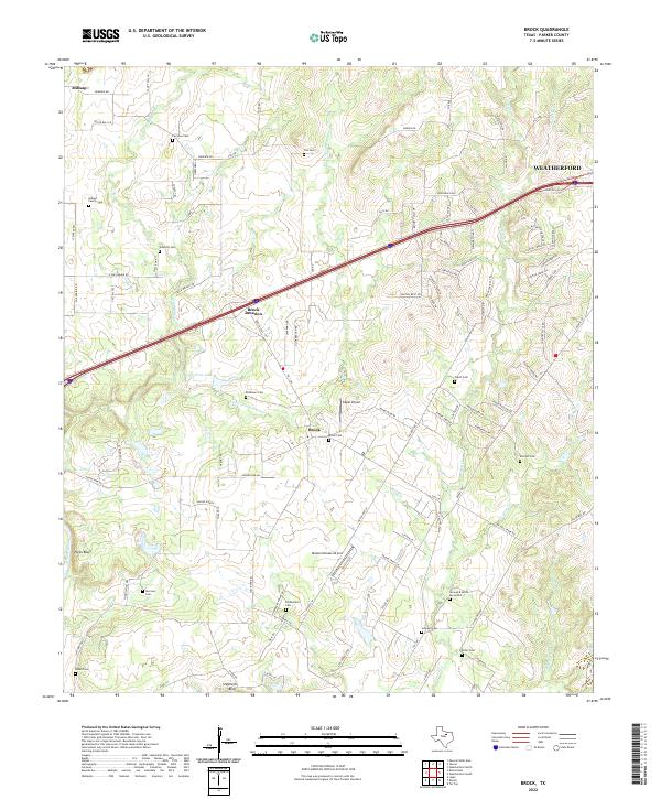
2022 Brock
Parker County, TX
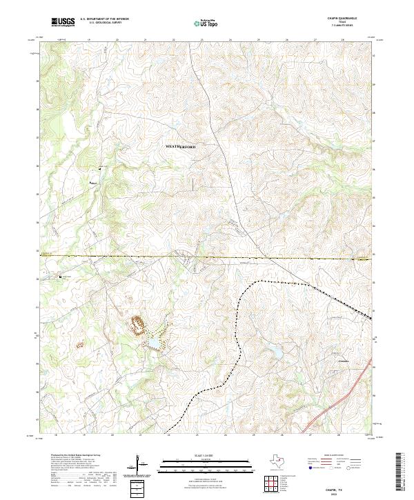
2022 Chapin
Parker County, TX
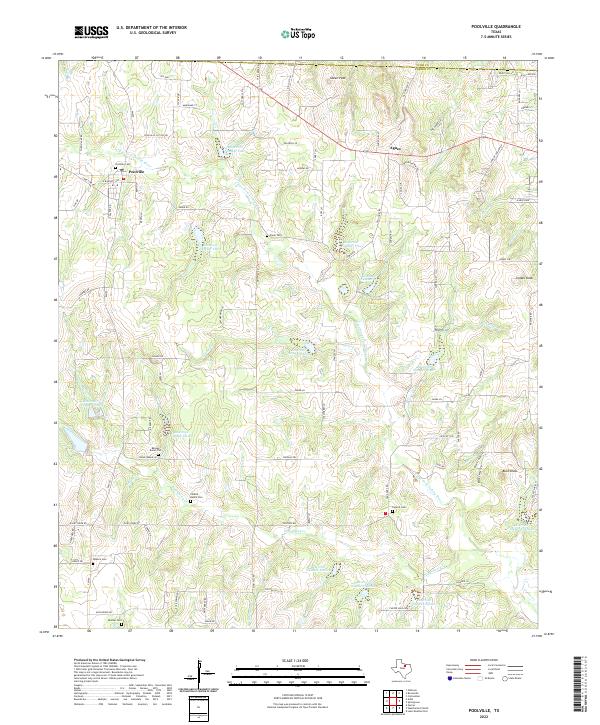
2022 Poolville
Parker County, TX
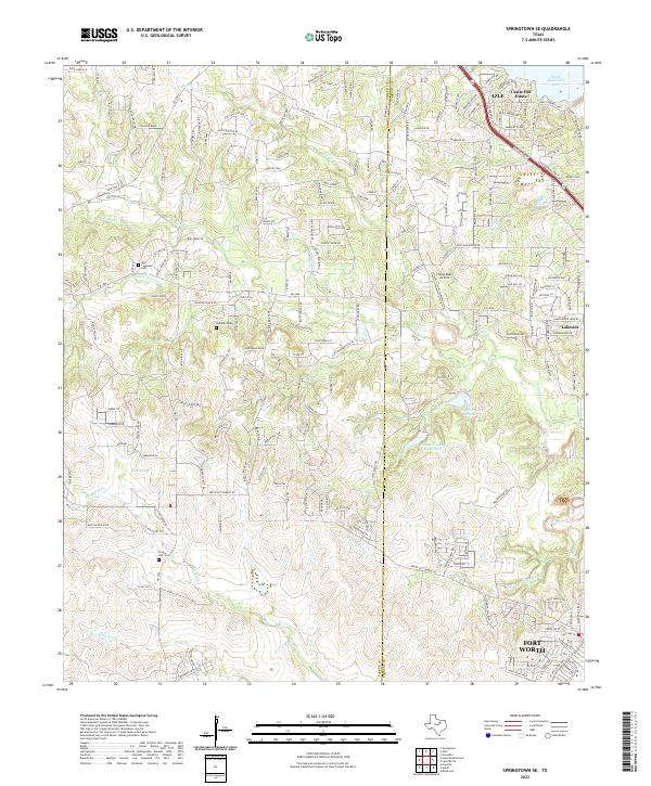
2022 Springtown SE
Parker County, TX
2022 Tin Top
Parker County, TX
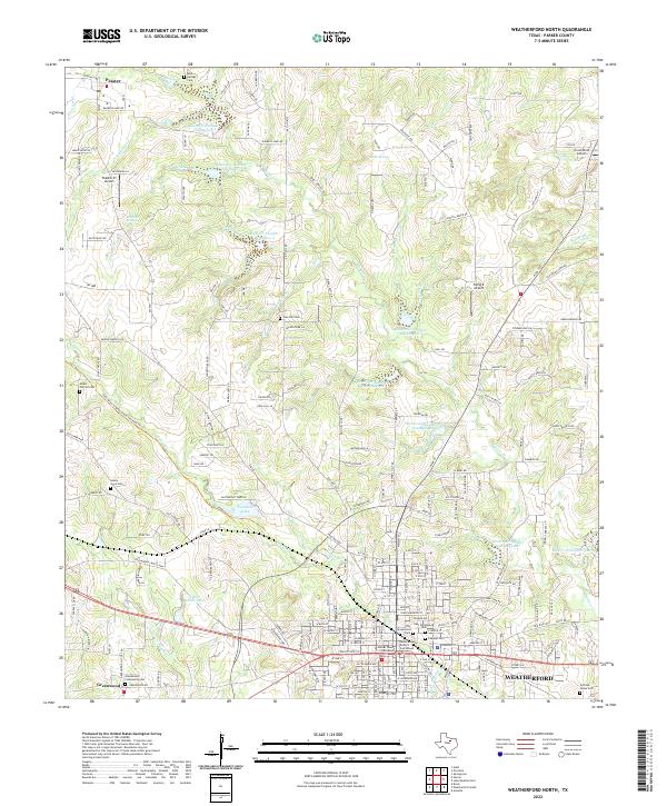
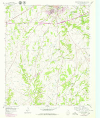
2022 Weatherford North
Parker County, TX
2022 Weatherford South
Parker County, TX
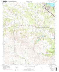
2023 Lake Weatherford
Parker County, TX