
1924 Map of Tionesta
USGS Topo · Published 1924About this map
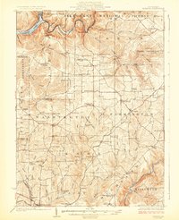
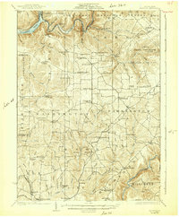
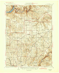
Tionesta and the Allegheny River anchor the northern landscape of this 1920s survey, where the river winds through the nascent Allegheny National Forest. The map captures a rugged stretch of Pennsylvania's northern plateau, defined by deep valleys carved by Tionesta Creek and Licking Creek. A dense network of one-room schoolhouses—such as Rattlesnake School, Smoky Hill School, and Amsler School—serves scattered agricultural and industrial hamlets, reflecting the rural social structure before the consolidation of rural education.
Find a feature on this map
97 named features on this map. Tap any name to fly to it.
Don’t see what you’re looking for? This feature index may not catch every label — zoom into the map to look around manually.
Map Details
Editions of this 1924 Tionesta Map
4 editions found
Other maps of this area

1906 · Clarion
USGS Topo · 1:62,500

1907 · Clarion
USGS Topo · 1:62,500

1907 · Foxburg
USGS Topo · 1:62,500

1908 · Foxburg
USGS Topo · 1:62,500

1918 · Loleta
USGS Topo · 1:62,500

1922 · Oil City
USGS Topo · 1:48,000

1922 · Tionesta
USGS Topo · 1:62,500

1924 · Oil City
USGS Topo · 1:62,500

1924 · Brookville
USGS Topo · 1:62,500

1926 · Brookville
USGS Topo · 1:62,500