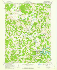
1961 Map of Tippecanoe
USGS Topo · Published 1963About this map
Stillwater Creek carves a deep valley through this Harrison County landscape, serving as the primary corridor for the Baltimore and Ohio railroad and the village of Tippecanoe. The southern portion of the map is dominated by the Clendening Reservoir, managed by the Muskingum Watershed Conservancy District, where the Clendening Dam holds back the waters of Brushy Fork. This era is defined by the heavy footprint of coal extraction, visible in the numerous strip mines and mine dumps that pock the hillsides near Stillwater and Newport.
Find a feature on this map
50 named features on this map. Tap any name to fly to it.
Don’t see what you’re looking for? This feature index may not catch every label — zoom into the map to look around manually.
Map Details
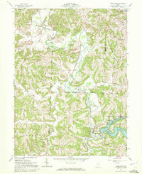
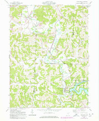
Editions of this 1961 Tippecanoe Map
Other maps of this area

1902 · Scio
USGS Topo · 1:62,500

1903 · Flushing
USGS Topo · 1:62,500

1904 · Scio
USGS Topo · 1:62,500

1905 · Flushing
USGS Topo · 1:62,500

1909 · Antrim
USGS Topo · 1:48,000

1909 · Uhrichsville
USGS Topo · 1:62,500

1911 · Antrim
USGS Topo · 1:62,500

1911 · Uhrichsville
USGS Topo · 1:62,500

1951 · Canton
USGS Topo · 1:250,000

1953 · Canton
USGS Topo · 1:250,000