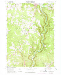
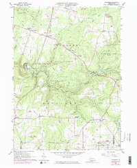
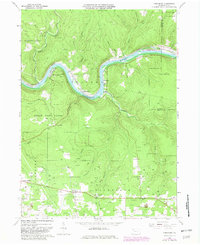
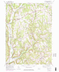
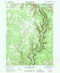
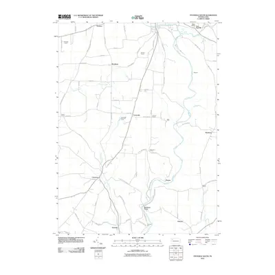
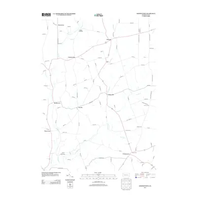
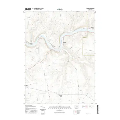
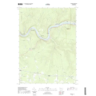
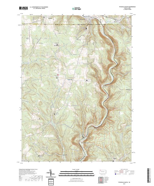
1968 Map of Titusville South
USGS Topo · Published 1975About this map
Oil Creek carves a deep valley through this Pennsylvania landscape, serving as the central axis for the historic oil industry's infrastructure. In the late 1960s and early 1970s, the region retained the dense network of Oil Field wells and service roads that defined its economy for over a century. Significant landmarks include Drake Well State Park at the northern edge, commemorating the birthplace of the modern petroleum industry, while further south lies the historic settlement of Petroleum Center. The map reveals how the Penn Central railroad follows the river's winding course, connecting small communities like Pioneer and Miller Farm. Away from the river, the uplands of Cherry Tree and Oakland townships are dotted with family-named crossroads such as Prather Corners and Jameson Corners, alongside local institutions like the Kerr Hill Ch and Cherrytree Sch.
Find a feature on this map
45 named features on this map. Tap any name to fly to it.
Don’t see what you’re looking for? This feature index may not catch every label — zoom into the map to look around manually.
Map Details
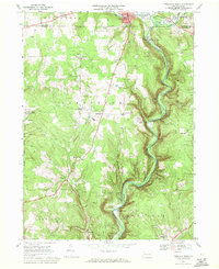
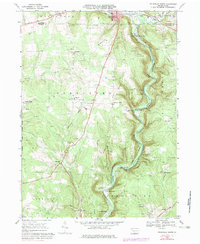
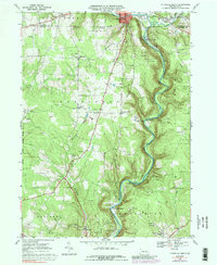
Editions of this 1968 Titusville South Map
5 editions found
Historical Maps of Titusville Through Time
24 maps found
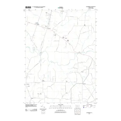
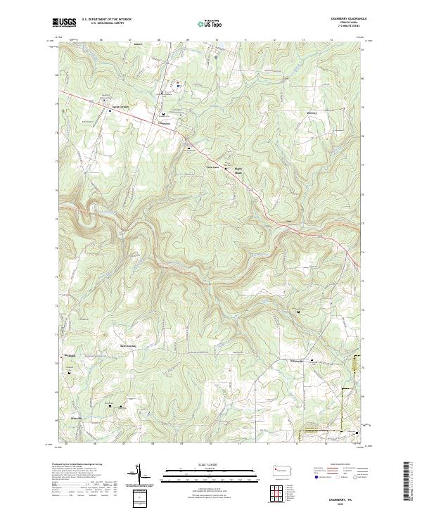
1963 Cranberry
Venango County, PA
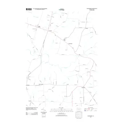
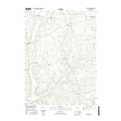
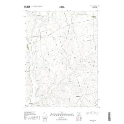
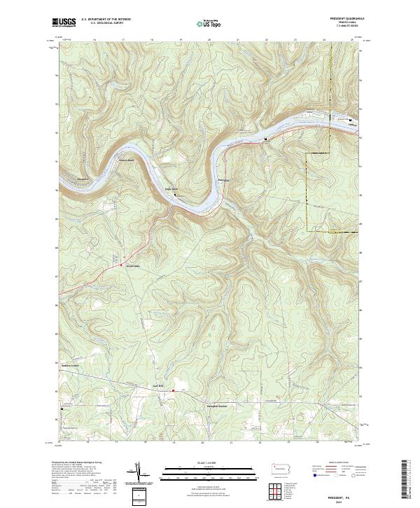
1963 President
Venango County, PA
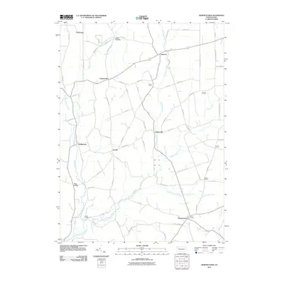
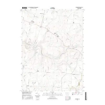
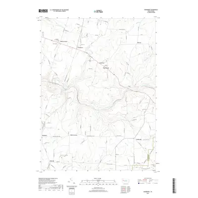
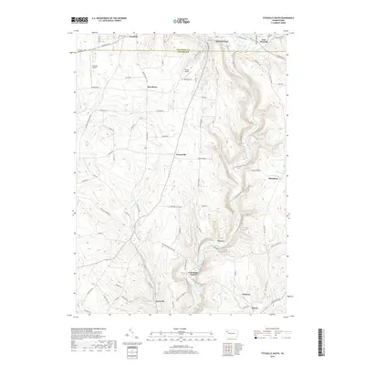
1967 Dempseytown
Venango County, PA
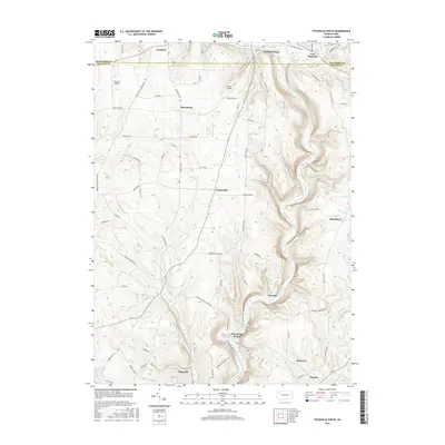
1968 Titusville South
Venango County, PA
2010 Cranberry
Venango County, PA
2010 Dempseytown
Venango County, PA

2010 President
Venango County, PA
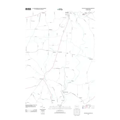
2010 Titusville South
Venango County, PA
2013 Cranberry
Venango County, PA
2013 Dempseytown
Venango County, PA

2013 President
Venango County, PA
2013 Titusville South
Venango County, PA
2016 Cranberry
Venango County, PA
2016 Dempseytown
Venango County, PA
2016 President
Venango County, PA
2016 Titusville South
Venango County, PA
2019 Cranberry
Venango County, PA
2019 Dempseytown
Venango County, PA
2019 President
Venango County, PA
2019 Titusville South
Venango County, PA
2023 Cranberry
Venango County, PA
2023 Dempseytown
Venango County, PA
2023 President
Venango County, PA
2023 Titusville South
Venango County, PA
Featured Locations
- Cornplanter Township, PA
- Cherrytree Township, PA
- Titusville, PA
- Petroleum Center, Cornplanter Township
- East Titusville, Oil Creek Township