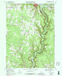
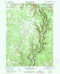
1968 Map of Titusville South
USGS Topo · Published 1989About this map
The birthplace of the modern petroleum industry is captured in this late-1960s survey of Venango and Crawford Counties. Drake Well State Park sits at the northern end of the deeply incised valley of Oil Creek, a landscape fundamentally shaped by the 19th-century oil boom. The map illustrates the specialized settlement patterns that emerged along the valley floor and surrounding uplands, including Petroleum Center, Pioneer, and Miller Farm. These locations, once bustling centers of the world's first oil rush, are shown alongside active Oil Fields and the infrastructure of the Penn Central railroad.
Find a feature on this map
49 named features on this map. Tap any name to fly to it.
Don’t see what you’re looking for? This feature index may not catch every label — zoom into the map to look around manually.
Map Details
Editions of this 1968 Titusville South Map
5 editions found
Other maps of this area

1909 · Franklin
USGS Topo · 1:62,500

1911 · Franklin
USGS Topo · 1:62,500

1922 · Oil City
USGS Topo · 1:48,000

1924 · Oil City
USGS Topo · 1:62,500

1927 · Townville
USGS Topo · 1:48,000

1927 · Titusville
USGS Topo · 1:62,500

1932 · Townville
USGS Topo · 1:62,500

1933 · Titusville
USGS Topo · 1:62,500

1943 · Oil City
USGS Topo · 1:62,500

1945 · Townville
USGS Topo · 1:62,500
Featured Places
- Titusville, PA
- Cherrytree Township, PA
- Cornplanter Township, PA
- Petroleum Center, Cornplanter Township
- East Titusville, PA