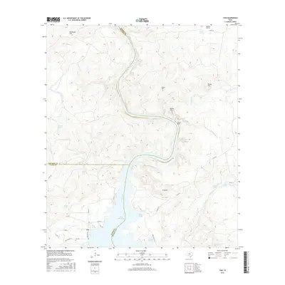
2016 Map of Tow
USGS Topo · Published 2016About this map
Lake Buchanan dominates the southern half of this landscape where the Colorado River enters the reservoir at the junction of Llano, Burnet, and San Saba counties. The small community of Tow sits along the western shore, served by Ranch Rd 2241 and Tow Cemetery Ln, which leads to the local Tow Cem. This area of the Texas Hill Country is defined by its dramatic elevation changes, ranging from the Ellenburger Hills in the northwest to the high peaks of Indian Mtn, Barnes Mtn, and Gray Mtn.
Find a feature on this map
52 named features on this map. Tap any name to fly to it.
Don’t see what you’re looking for? This feature index may not catch every label — zoom into the map to look around manually.
Map Details
Editions of this 2016 Tow Map
This is the sole edition of this map. No revisions or reprints were ever made.
Other maps of this area

1885 · San Saba
USGS Topo · 1:125,000

1887 · Llano
USGS Topo · 1:125,000

1887 · Lampasas
USGS Topo · 1:125,000

1887 · Burnet
USGS Topo · 1:125,000

1893 · Burnet
USGS Topo · 1:125,000

1894 · Lampasas
USGS Topo · 1:125,000

1894 · San Saba
USGS Topo · 1:125,000

1894 · Llano
USGS Topo · 1:125,000

1903 · Burnet
USGS Topo · 1:125,000

1904 · Llano
USGS Topo · 1:125,000