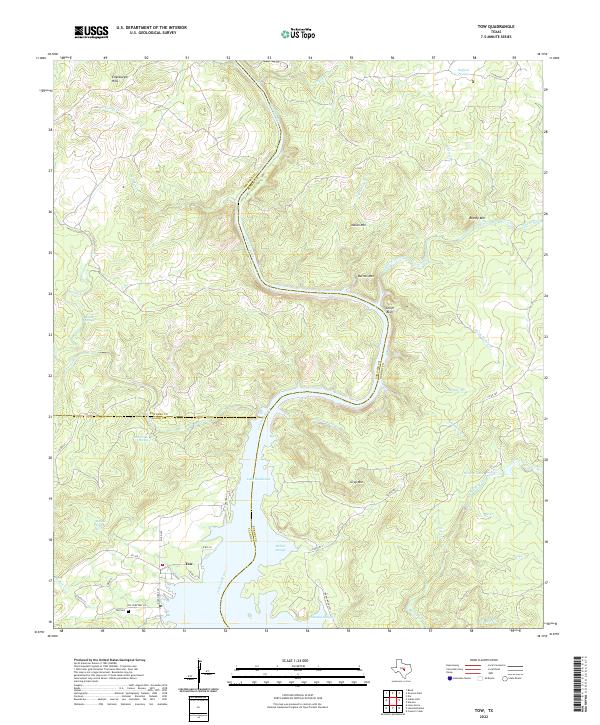
2022 Map of Tow
USGS Topo · Published 2022About this map
Tow sits at the northern reaches of Lake Buchanan, where the Colorado River enters the reservoir at the tri-county junction of Llano, Burnet, and San Saba. This modern survey illustrates the hydrologic character of the Texas Hill Country, dominated by the sprawling waters of the lake and its complex backwaters like Willow Slough and Chimney Slough. The terrain rises sharply from the riverbanks into prominent elevations including Chism Bluff, Indian Mtn, and the Ellenburger Hills. This area is particularly noted for its natural water sources, with Boiling Springs, Falls Creek Spring, and Morgan Springs all feeding into the local drainage. Local history is anchored at the Tow Cem, providing a focal point for genealogical researchers interested in this community. The map also delineates the numerous creeks, such as Beaver Creek and Jennings Cr, that carve through the surrounding limestone uplands.
Find a feature on this map
52 named features on this map. Tap any name to fly to it.
Don’t see what you’re looking for? This feature index may not catch every label — zoom into the map to look around manually.
Map Details
Editions of this 2022 Tow Map
This is the sole edition of this map. No revisions or reprints were ever made.
Other maps of this area

1885 · San Saba
USGS Topo · 1:125,000

1887 · Llano
USGS Topo · 1:125,000

1887 · Lampasas
USGS Topo · 1:125,000

1887 · Burnet
USGS Topo · 1:125,000

1893 · Burnet
USGS Topo · 1:125,000

1894 · Lampasas
USGS Topo · 1:125,000

1894 · San Saba
USGS Topo · 1:125,000

1894 · Llano
USGS Topo · 1:125,000

1903 · Burnet
USGS Topo · 1:125,000

1904 · Llano
USGS Topo · 1:125,000