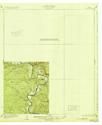
1932 Map of Tow
USGS Topo · Published 1932About this map
The Colorado River winds through the heart of this Central Texas landscape, defining the boundary between Llano and Burnet counties during the mid-1920s. This survey records a river system before the era of major reservoir construction, showing the natural bends and crossings like Saltworks Ford and the prominent Pearl Bend. The small community of Bluffton is centered near the river, supported by the Bluffton Sch and another unnamed School to the south.
Find a feature on this map
13 named features on this map. Tap any name to fly to it.
Don’t see what you’re looking for? This feature index may not catch every label — zoom into the map to look around manually.
Map Details
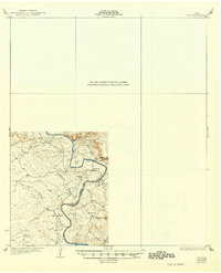
Editions of this 1932 Tow Map
2 editions found
Other maps of this area
1885 · San Saba
USGS Topo · 1:125,000
1887 · Llano
USGS Topo · 1:125,000
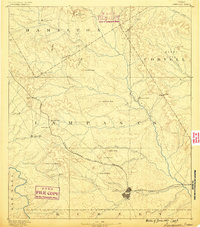
1887 · Lampasas
USGS Topo · 1:125,000

1887 · Burnet
USGS Topo · 1:125,000

1893 · Burnet
USGS Topo · 1:125,000
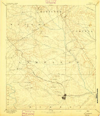
1894 · Lampasas
USGS Topo · 1:125,000
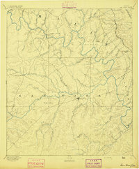
1894 · San Saba
USGS Topo · 1:125,000
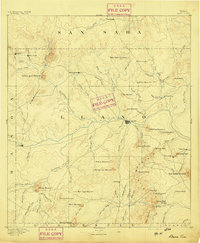
1894 · Llano
USGS Topo · 1:125,000
1903 · Burnet
USGS Topo · 1:125,000
1904 · Llano
USGS Topo · 1:125,000