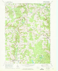
1967 Map of Townville
USGS Topo · Published 1972About this map
The winding courses of Muddy Creek and Woodcock Creek define the rural character of this Crawford County landscape in the late 1960s. The village of Townville stands at a prominent junction in the east, while the western portion of the map is dominated by the sprawling conservation lands of the Erie National Wildlife Refuge and State Game Lands No 146. This era shows a community rooted in small agricultural hubs, marked by numerous named crossroads such as Jewel Corners, Clarks Corners, and Basil Corners.
Find a feature on this map
53 named features on this map. Tap any name to fly to it.
Don’t see what you’re looking for? This feature index may not catch every label — zoom into the map to look around manually.
Map Details
Editions of this 1967 Townville Map

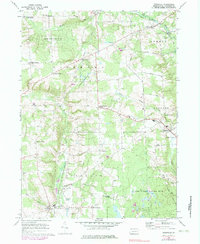
Other maps of this area

1923 · Meadville
USGS Topo · 1:62,500

1923 · Cambridge Springs
USGS Topo · 1:62,500

1925 · Meadville
USGS Topo · 1:62,500

1925 · Cambridge Springs
USGS Topo · 1:62,500

1927 · Townville
USGS Topo · 1:48,000

1929 · Union City
USGS Topo · 1:62,500

1932 · Townville
USGS Topo · 1:62,500

1932 · Union City
USGS Topo · 1:62,500

1943 · Meadville
USGS Topo · 1:62,500

1943 · Cambridge Springs
USGS Topo · 1:62,500