
1967 Map of Townville
USGS Topo · Published 1975About this map
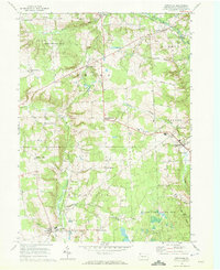
Townville serves as the primary municipal hub in this rural landscape of eastern Crawford County, where the settlement pattern is defined by traditional crossroads and scattered family-named corners. The map reveals a transition toward conservation, as large tracts of land are designated as State Game Lands No 146, State Game Lands No 69, and the Erie National Wildlife Refuge south of Lyona.
Find a feature on this map
51 named features on this map. Tap any name to fly to it.
Don’t see what you’re looking for? This feature index may not catch every label — zoom into the map to look around manually.
Map Details
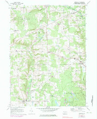
Editions of this 1967 Townville Map
Other maps of this area

1923 · Meadville
USGS Topo · 1:62,500

1923 · Cambridge Springs
USGS Topo · 1:62,500

1925 · Meadville
USGS Topo · 1:62,500

1925 · Cambridge Springs
USGS Topo · 1:62,500

1927 · Townville
USGS Topo · 1:48,000

1929 · Union City
USGS Topo · 1:62,500

1932 · Townville
USGS Topo · 1:62,500

1932 · Union City
USGS Topo · 1:62,500

1943 · Meadville
USGS Topo · 1:62,500

1943 · Cambridge Springs
USGS Topo · 1:62,500