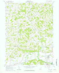
1962 Map of Trinway
USGS Topo · Published 1976About this map
The Pennsylvania railroad corridor defines the valley south of Trinway, where the village sits at a junction of historic transit routes. This 1962 survey illustrates a landscape deeply shaped by the drainage of Wakatomika Creek and its many tributaries, including Little Wakatomika Creek and Sand Fork. The area is marked by a series of small rural settlements such as West Carlisle and Wakatomika, alongside several family and community burial grounds including Union Cem and Broomstick Cem.
Find a feature on this map
42 named features on this map. Tap any name to fly to it.
Don’t see what you’re looking for? This feature index may not catch every label — zoom into the map to look around manually.
Map Details
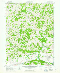
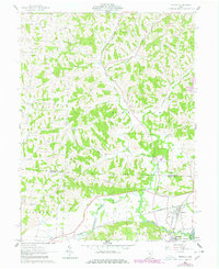
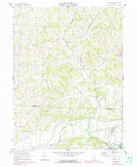
Editions of this 1962 Trinway Map
4 editions found
Other maps of this area

1908 · Conesville
USGS Topo · 1:62,500

1910 · Frazeysburg
USGS Topo · 1:62,500

1910 · Conesville
USGS Topo · 1:62,500

1913 · Brinkhaven
USGS Topo · 1:62,500

1913 · Coshocton
USGS Topo · 1:62,500

1915 · Brinkhaven
USGS Topo · 1:62,500

1915 · Coshocton
USGS Topo · 1:62,500

1943 · Coshocton
USGS Topo · 1:62,500

1950 · Marion
USGS Topo · 1:250,000

1951 · Canton
USGS Topo · 1:250,000