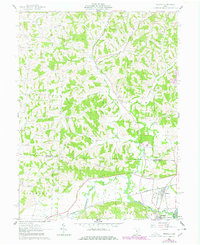
1962 Map of Trinway
USGS Topo · Published 1978About this map
Wakatomika Creek carves a deep valley through the dissected plateau of the Muskingum and Coshocton county line, anchoring a landscape of ridge-top farms and narrow hollows. In the southern reaches, the village of Trinway serves as a critical junction for the Pennsylvania and NYC & ST L railroads, while Dresden sits just at the edge of the Muskingum River floodplains. The upland areas are defined by long elevations like Graham Ridge and Irish Ridge, where small rural communities such as Graham Corners and West Carlisle emerged along early road networks. Local genealogy is well-represented through numerous hillside burial sites, including Broomstick Cem and Mt Zion Cem, and small country congregations at Union Ch and Chalfant Ch. Evidence of industrial activity appears in the form of a Strip Mine in the north and the Old Railroad Grade that traces the path of abandoned transport routes through the creek valleys.
Find a feature on this map
38 named features on this map. Tap any name to fly to it.
Don’t see what you’re looking for? This feature index may not catch every label — zoom into the map to look around manually.
Map Details
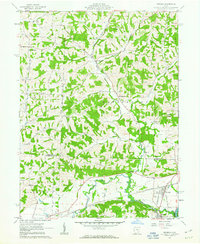
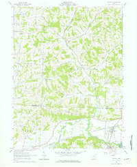
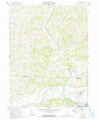
Editions of this 1962 Trinway Map
4 editions found
Other maps of this area

1908 · Conesville
USGS Topo · 1:62,500

1910 · Frazeysburg
USGS Topo · 1:62,500

1910 · Conesville
USGS Topo · 1:62,500

1913 · Brinkhaven
USGS Topo · 1:62,500

1913 · Coshocton
USGS Topo · 1:62,500

1915 · Brinkhaven
USGS Topo · 1:62,500

1915 · Coshocton
USGS Topo · 1:62,500

1943 · Coshocton
USGS Topo · 1:62,500

1950 · Marion
USGS Topo · 1:250,000

1951 · Canton
USGS Topo · 1:250,000