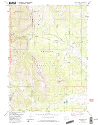
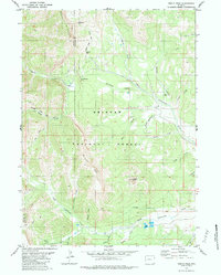
1980 Map of Triple Peak
USGS Topo · Published 1980About this map
Mount Mc Dougal and the jagged heights of the Wyoming Range anchor this high-elevation landscape within the Bridger National Forest. The map documents a rugged montane environment where traditional industry meets backcountry recreation during the late 1970s. Historical extraction is evident at the Cottonwood Mine and Kleinstick Mine, while the central Mc Dougal Gap provides a natural passage through the terrain. A complex drainage system feeds the region, with North Cottonwood Creek and South Cottonwood Creek carving deep basins. High-country landmarks such as Triple Peak and Lander Peak overlook a network of pack routes, including the prominent Wyoming Range Trail. Smaller features like Soda Lake and Foster Meadows suggest pockets of riparian diversity amidst the steep slopes, while a solitary Drill Hole near Cottonwood Creek points to mineral or geological exploration efforts in this Sublette County wilderness.
Find a feature on this map
32 named features on this map. Tap any name to fly to it.
Don’t see what you’re looking for? This feature index may not catch every label — zoom into the map to look around manually.
Map Details
Editions of this 1980 Triple Peak Map
3 editions found
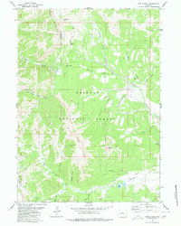
Other maps of this area

1921 · Afton
USGS Topo · 1:125,000

1939 · Big Piney
USGS Topo · 1:125,000

1942 · Big Piney
USGS Topo · 1:125,000

1955 · Preston
USGS Topo · 1:250,000

1958 · Preston
USGS Topo · 1:250,000

1962 · Preston
USGS Topo · 1:250,000
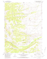
1980 · Red Castle Creek
USGS Topo · 1:24,000
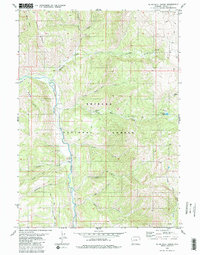
1980 · Blind Bull Creek
USGS Topo · 1:24,000
1980 · Triple Peak
USGS Topo · 1:24,000
1980 · Mount Schidler
USGS Topo · 1:24,000