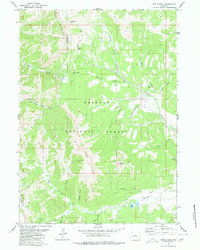
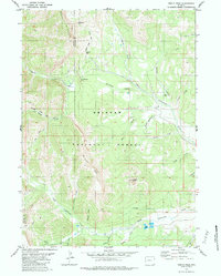
1980 Map of Triple Peak
USGS Topo · Published 1980About this map
Mount Mc Dougal and the jagged ridgeline of the Wyoming Range dominate this 1980 survey, which captures a landscape defined by its high-altitude drainage basins and resource extraction. The area serves as a rugged intersection of hydrology and early industrial efforts, where the headwaters of North Cottonwood Creek and its many tributaries, such as Nylander Creek and Sjhoberg Creek, carve through the Bridger National Forest. Evidence of mining activity is preserved in labels for the Cottonwood Mine and Kleinstick Mine, located near the northern boundary. Transportation through this terrain is limited to historic paths like the Wyoming Range (Pack) Trail, which navigates through Mc Dougal Gap. The southern portion of the map features landmarks like Lander Peak and Soda Lake, illustrating the varied topography between the Lincoln and Sublette county lines.
Find a feature on this map
37 named features on this map. Tap any name to fly to it.
Don’t see what you’re looking for? This feature index may not catch every label — zoom into the map to look around manually.
Map Details
Editions of this 1980 Triple Peak Map
3 editions found
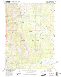
Other maps of this area

1921 · Afton
USGS Topo · 1:125,000

1939 · Big Piney
USGS Topo · 1:125,000

1942 · Big Piney
USGS Topo · 1:125,000

1955 · Preston
USGS Topo · 1:250,000

1958 · Preston
USGS Topo · 1:250,000

1962 · Preston
USGS Topo · 1:250,000
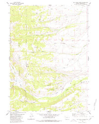
1980 · Red Castle Creek
USGS Topo · 1:24,000
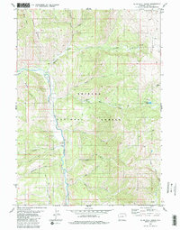
1980 · Blind Bull Creek
USGS Topo · 1:24,000
1980 · Triple Peak
USGS Topo · 1:24,000
1980 · Mount Schidler
USGS Topo · 1:24,000