
1898 Map of Troy
USGS Topo · Published 1898About this map
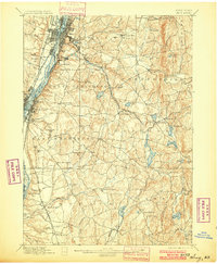
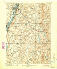
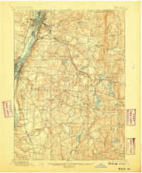
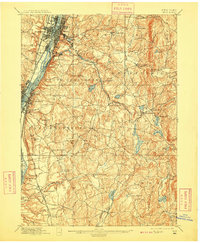
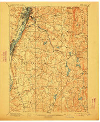
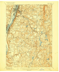
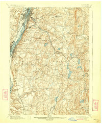
Industrial and transit networks define this late nineteenth-century landscape along the Hudson River, where Troy and East Albany serve as major hubs for river commerce and rail transport. The Erie Canal cuts through the northern corridor, paralleled by the Delaware and Hudson Railroad and the N.Y.C. & H.R. R.R. lines. These water and iron arteries connect the riverfront to the hilly interior of Rensselaer County, which transitions into a landscape of smaller mill towns and summer retreats.
Find a feature on this map
89 named features on this map. Tap any name to fly to it.
Don’t see what you’re looking for? This feature index may not catch every label — zoom into the map to look around manually.
Map Details
Editions of this 1898 Troy Map
8 editions found
Other maps of this area

1888 · Berlin
USGS Topo · 1:62,500

1888 · Pittsfield
USGS Topo · 1:62,500

1890 · Pittsfield
USGS Topo · 1:62,500

1890 · Berlin
USGS Topo · 1:62,500

1893 · Cohoes
USGS Topo · 1:62,500

1893 · Troy
USGS Topo · 1:62,500

1893 · Schenectady
USGS Topo · 1:62,500

1893 · Coxsackie
USGS Topo · 1:62,500

1893 · Pittsfield
USGS Topo · 1:62,500

1893 · Albany
USGS Topo · 1:62,500