
2023 Map of Truxton
USGS Topo · Published 2023About this map
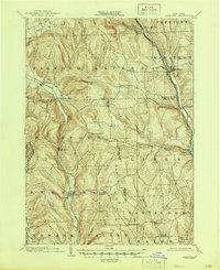
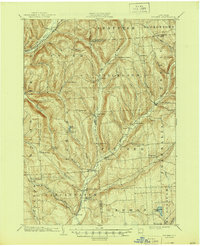
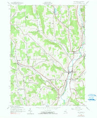
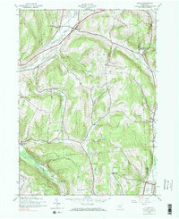
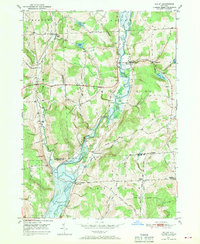
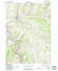
Truxton sits at the confluence where Labrador Creek meets the East Branch Tioughnioga River, anchoring a landscape defined by narrow valleys and steep upland ridges in Cortland County. This modern survey illustrates how historic hamlets like Crains Mills and East Homer have maintained their distinct identities along the river corridors. The terrain is marked by significant elevation changes, from the heights of Truxton Hill and Morgan Hill down to the fertile flats of Walter's Field.
Find a feature on this map
77 named features on this map. Tap any name to fly to it.
Don’t see what you’re looking for? This feature index may not catch every label — zoom into the map to look around manually.
Map Details
Editions of this 2023 Truxton Map
This is the sole edition of this map. No revisions or reprints were ever made.
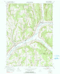
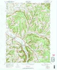
Historical Maps of Cortland County Through Time
26 maps found
1903 Harford
Cortland County, NY
1904 Pitcher
Cortland County, NY
1943 Cincinnatus
Cortland County, NY
1943 Cuyler
Cortland County, NY
1944 Cincinnatus
Cortland County, NY

1944 Cuyler
Cortland County, NY

1944 Homer
Cortland County, NY

1944 Mc Graw
Cortland County, NY

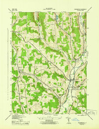
1944 Truxton
Cortland County, NY

1949 Harford
Cortland County, NY
1949 Willet
Cortland County, NY
1950 Marathon
Cortland County, NY

1951 Harford
Cortland County, NY

1951 Willet
Cortland County, NY
1955 Homer
Cortland County, NY
1955 Mc Graw
Cortland County, NY
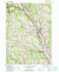
1955 Truxton
Cortland County, NY
1976 Harford
Cortland County, NY

1978 Homer
Cortland County, NY

2023 Cincinnatus
Cortland County, NY

2023 Cuyler
Cortland County, NY

2023 Harford
Cortland County, NY

2023 Homer
Cortland County, NY

2023 Marathon
Cortland County, NY
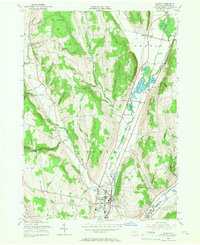
2023 Truxton
Cortland County, NY

2023 Willet
Cortland County, NY