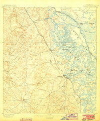
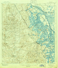
1895 Map of Tsala Apopka
USGS Topo · Published 1903About this map
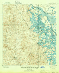
Inverness serves as a central hub on this 1890s survey, situated along the western edge of the intricate wetland system of Tsala Apopka Lake. The landscape is dominated by the complex interaction of land and water, with numerous islands like Gospel Island and Gilchrist Island scattered throughout the marshy expanse. This era shows a growing infrastructure focused on both extraction and transport, evidenced by the Hamburg Mine and the convergence of the Savannah Florida and Western R.R. and the South Florida R.R. at Hernando. The Withlacoochee River forms a winding natural boundary to the northeast, where Stokes Ferry and Morrison Landing provide critical river access points. Small settlements such as Mannfield, Hartshorn, and Lecanto dot the western highlands, connected by a network of early trails and roads that contrast with the dense, waterlogged eastern half of the quadrangle.
Find a feature on this map
34 named features on this map. Tap any name to fly to it.
Don’t see what you’re looking for? This feature index may not catch every label — zoom into the map to look around manually.
Map Details
Editions of this 1895 Tsala Apopka Map
7 editions found
Other maps of this area

1892 · Dunnellon
USGS Topo · 1:62,500

1893 · Panasoffkee
USGS Topo · 1:62,500

1894 · Dunnellon
USGS Topo · 1:62,500

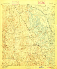
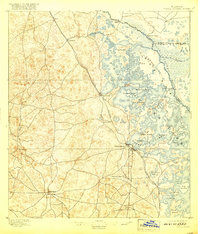
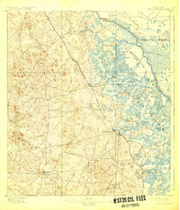
1895 · Tsala Apopka
USGS Topo · 1:62,500

1895 · Panasoffkee
USGS Topo · 1:62,500

1895 · Ocala
USGS Topo · 1:62,500

1954 · Lecanto
USGS Topo · 1:24,000

1954 · Homosassa
USGS Topo · 1:24,000

1954 · Holder
USGS Topo · 1:24,000

1954 · Crystal River
USGS Topo · 1:24,000