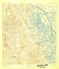
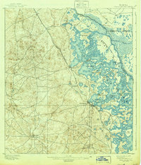
1895 Map of Tsala Apopka
USGS Topo · Published 1925About this map
Inverness serves as the focal point of this late 19th-century survey, situated at the edge of the complex wetlands and island systems of Henderson Lake. The landscape is dominated by the intricate, multi-lobed Tsala Apopka Lake, where numerous named islands like Gospel Island and Duval Island indicate a region deeply tied to its water-bound geography. The map records a period of early infrastructure development, showing the Savannah Florida and Western R. R. cutting northwest through Hernando and Cordeal, while the South Florida R. R. extends south from the county seat.
Find a feature on this map
32 named features on this map. Tap any name to fly to it.
Don’t see what you’re looking for? This feature index may not catch every label — zoom into the map to look around manually.
Map Details
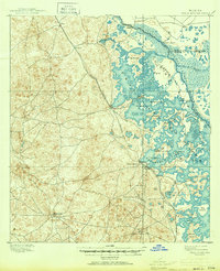
Editions of this 1895 Tsala Apopka Map
7 editions found
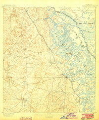
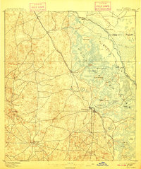
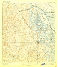
Other maps of this area

1892 · Dunnellon
USGS Topo · 1:62,500

1893 · Panasoffkee
USGS Topo · 1:62,500

1894 · Dunnellon
USGS Topo · 1:62,500

1895 · Tsala Apopka
USGS Topo · 1:62,500

1895 · Panasoffkee
USGS Topo · 1:62,500

1895 · Ocala
USGS Topo · 1:62,500

1954 · Lecanto
USGS Topo · 1:24,000

1954 · Homosassa
USGS Topo · 1:24,000

1954 · Holder
USGS Topo · 1:24,000

1954 · Crystal River
USGS Topo · 1:24,000