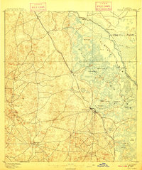
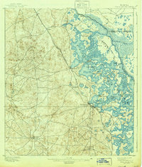
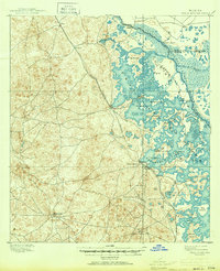
1895 Map of Tsala Apopka
USGS Topo · Published 1910About this map
The sprawling wetlands of Tsala Apopka Lake dominate this late-nineteenth-century landscape, revealing a complex network of islands and interconnected water bodies such as Henderson Lake and Fort Cooper Lake. The settlement of Inverness serves as a primary hub where the South Florida Div. rail line meets the water's edge. Industrial activity is evidenced by the Hamburg Mine located south of the main town, while the Savannah Florida and Western R. R. cuts through the northern timber and phosphate lands near Hartshorn and Hernando. The presence of Stokes Ferry and Cottons Landing along the Withlacoochee River underscores the river-based transit economy that predated modern road networks. Genealogists will find interest in several small, early settlements like Arlington, Lecanto, and Mannfield, many of which were central to the region's pioneering citrus and mining years.
Find a feature on this map
35 named features on this map. Tap any name to fly to it.
Don’t see what you’re looking for? This feature index may not catch every label — zoom into the map to look around manually.
Map Details
Editions of this 1895 Tsala Apopka Map
7 editions found
Other maps of this area

1892 · Dunnellon
USGS Topo · 1:62,500

1893 · Panasoffkee
USGS Topo · 1:62,500

1894 · Dunnellon
USGS Topo · 1:62,500

1895 · Tsala Apopka
USGS Topo · 1:62,500

1895 · Panasoffkee
USGS Topo · 1:62,500

1895 · Ocala
USGS Topo · 1:62,500

1954 · Lecanto
USGS Topo · 1:24,000

1954 · Homosassa
USGS Topo · 1:24,000

1954 · Holder
USGS Topo · 1:24,000

1954 · Crystal River
USGS Topo · 1:24,000