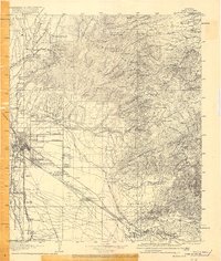
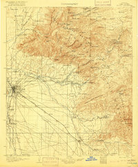
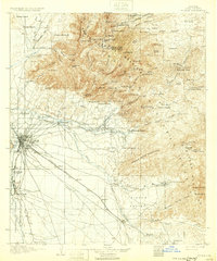
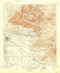
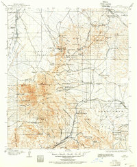
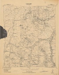
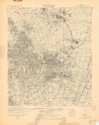
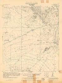
1905 Map of Tucson
USGS Topo · Published 1916About this map
The University of Arizona and the expanding grid of Tucson anchor this survey of the northern Sonoran Desert before the major mid-century population boom. To the west, the Papago Indian Reservation encompasses Xavier and the distinctive Sahuarita Butte (Martinez Hill), while the city’s social and educational infrastructure is marked by the Indian School, St Josephs Orphanage, and a Country Club.
Find a feature on this map
121 named features on this map. Tap any name to fly to it.
Don’t see what you’re looking for? This feature index may not catch every label — zoom into the map to look around manually.
Map Details
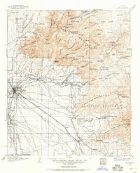
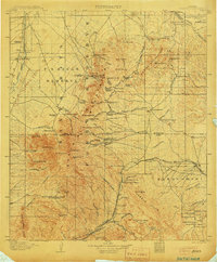
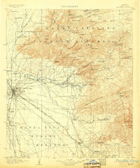
Editions of this 1905 Tucson Map
5 editions found
Other maps of this area
1904 · Patagonia
USGS Topo · 1:125,000
1904 · Tucson
USGS Topo · 1:125,000
1905 · Patagonia
USGS Topo · 1:125,000
1905 · Tucson
USGS Topo · 1:125,000

1911 · Winkelman
USGS Topo · 1:125,000

1913 · Winkelman
USGS Topo · 1:125,000

1915 · Benson
USGS Topo · 1:125,000
1920 · Arivaca
USGS Topo · 1:125,000
1925 · Samaniego Peak
USGS Topo · 1:62,500
1925 · San Xavier
USGS Topo · 1:62,500