
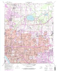
1954 Map of Tulsa
USGS Topo · Published 1955About this map
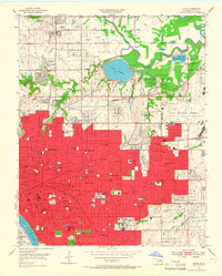
Tulsa emerges in the mid-1950s as a bustling metropolitan center defined by its early aviation and oil industry roots. The northern landscape is anchored by the Tulsa Municipal Airport and the smaller Stebbins Airport, while Mohawk Park and Lake Yahola provide significant public space near the winding Bird Creek. The map documents a dense urban grid south of the Arkansas River at Red Fork, showing a proliferation of neighborhood schools like Booker T Washington High Sch, Carver Jr High Sch, and Central High Sch. This era captures the city's academic and athletic culture, centered on the University of Tulsa and Skelly Field. Industrial and transportation corridors are prominent, with the St Louis San Francisco and Midland Valley railroads intersecting the urban core. Further north, the settlement of Turley and several scattered Oil Wells and a Coal Mine point to the extraction history of the region.
Find a feature on this map
102 named features on this map. Tap any name to fly to it.
Don’t see what you’re looking for? This feature index may not catch every label — zoom into the map to look around manually.
Map Details
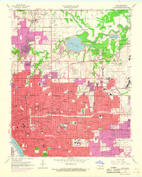
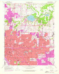
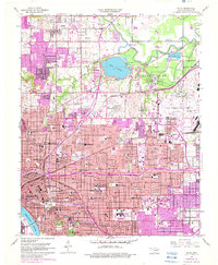
Editions of this 1954 Tulsa Map
6 editions found
Other maps of this area

1901 · Claremore
USGS Topo · 1:125,000

1912 · Hominy
USGS Topo · 1:125,000

1914 · Claremore
USGS Topo · 1:125,000

1915 · Hominy
USGS Topo · 1:125,000

1916 · Claremore
USGS Topo · 1:125,000

1952 · Jenks
USGS Topo · 1:24,000

1954 · Tulsa
USGS Topo · 1:250,000

1955 · Sperry
USGS Topo · 1:24,000

1955 · Mingo
USGS Topo · 1:24,000

1955 · Broken Arrow
USGS Topo · 1:24,000