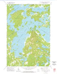
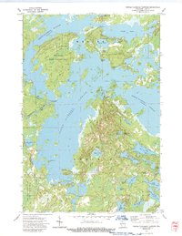
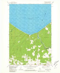
1973 Map of Turtle-Flambeau Flowage
USGS Topo · Published 1976This historical map portrays the area of Turtle-Flambeau Flowage in 1973, primarily covering Iron County. Featuring a scale of 1:24000, this map provides a highly detailed snapshot of the terrain, roads, buildings, counties, and historical landmarks in the Turtle-Flambeau Flowage region at the time. Published in 1976, it is one of 2 known editions of this map due to revisions or reprints.
Find a feature on this map
43 named features on this map. Tap any name to fly to it.
Don’t see what you’re looking for? This feature index may not catch every label — zoom into the map to look around manually.
Map Details
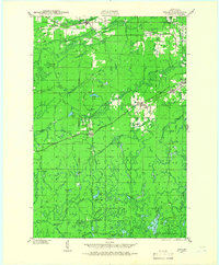
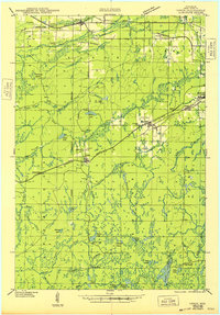
Editions of this 1973 Turtle-Flambeau Flowage Map
2 editions found
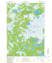
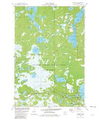
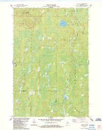
Historical Maps of Iron County Through Time
15 maps found
1940 Upson
Iron County, WI
1943 Upson
Iron County, WI
1947 Naults
Iron County, WI
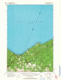
1956 Little Girls Point
Iron County, WI
1956 Upson
Iron County, WI
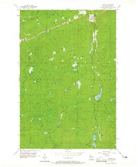
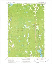
1973 Lake Evelyn
Iron County, WI
1973 Lake of The Falls
Iron County, WI
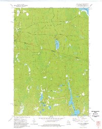
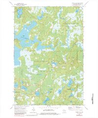
1973 Pine Lake
Iron County, WI
1973 Turntable Creek
Iron County, WI
1973 Turtle-Flambeau Flowage
Iron County, WI
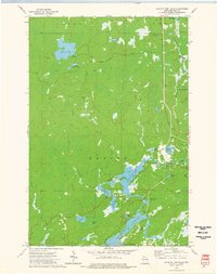
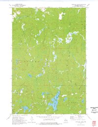
1973 Wilson Lake
Iron County, WI
1980 Oronto Bay
Iron County, WI
1981 Powell
Iron County, WI
1981 Winchester
Iron County, WI
1984 Lake Six
Iron County, WI