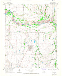
1966 Map of Tuttle
USGS Topo · Published 1967About this map
The Canadian River cuts a wide, braided path through the center of this landscape, defining the boundaries between Union City and Oklahoma City. To the south, the city of Tuttle serves as a regional hub, its street grid tightly organized near the St Louis - San Francisco railroad line. The map illustrates a transitional rural-to-suburban environment where section lines like SW 104 th Street and SW 119th Street segment the land into large agricultural and industrial plots.
Find a feature on this map
27 named features on this map. Tap any name to fly to it.
Don’t see what you’re looking for? This feature index may not catch every label — zoom into the map to look around manually.
Map Details
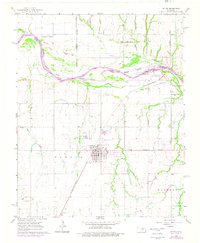
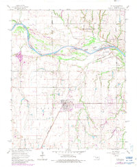
Editions of this 1966 Tuttle Map
3 editions found
Other maps of this area

1893 · Oklahoma City
USGS Topo · 1:62,500

1893 · Minco
USGS Topo · 1:62,500

1904 · Chickasha
USGS Topo · 1:125,000

1954 · Oklahoma City
USGS Topo · 1:250,000

1956 · Oklahoma City
USGS Topo · 1:62,500

1957 · Oklahoma City
USGS Topo · 1:250,000

1963 · Oklahoma City
USGS Topo · 1:250,000
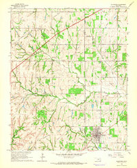
1965 · Blanchard
USGS Topo · 1:24,000
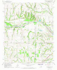
1965 · Oklahoma City SW
USGS Topo · 1:24,000
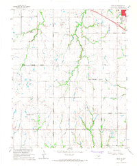
1966 · Minco NE
USGS Topo · 1:24,000