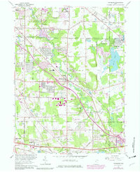
1963 Map of Twinsburg
USGS Topo · Published 1979About this map
Tinkers Creek winds through the heart of the landscape, defining the transition between the industrial corridors of the north and the expanding residential outskirts of the 1960s. The map captures a period of growth as neighborhoods like Western Reserve Estates and Reminderville emerge alongside long-established transportation arteries. The rail infrastructure is prominent, featuring the Norfolk and Western and Conrail lines, which cross the terrain near hubs like Falls Junction.
Find a feature on this map
45 named features on this map. Tap any name to fly to it.
Don’t see what you’re looking for? This feature index may not catch every label — zoom into the map to look around manually.
Map Details
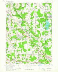
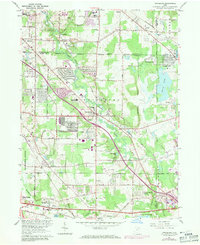
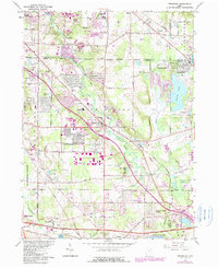
Editions of this 1963 Twinsburg Map
4 editions found
Other maps of this area

1903 · Cleveland
USGS Topo · 1:62,500

1903 · Akron
USGS Topo · 1:62,500

1905 · Akron
USGS Topo · 1:62,500

1906 · Kent
USGS Topo · 1:62,500

1906 · Chagrin Falls
USGS Topo · 1:62,500

1908 · Chagrin Falls
USGS Topo · 1:62,500

1950 · Cleveland
USGS Topo · 1:250,000

1953 · South Russell
USGS Topo · 1:24,000

1953 · Aurora
USGS Topo · 1:24,000

1953 · Chagrin Falls
USGS Topo · 1:24,000