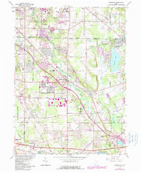
1963 Map of Twinsburg
USGS Topo · Published 1985About this map
Tinkers Creek winds through this landscape at the intersection of Cuyahoga, Summit, Portage, and Geauga counties, illustrating a period of significant suburban expansion and industrial growth. The map captures the complex administrative boundaries of Twinsburg, Reminderville, and Glenwillow during the mid-20th century. Transportation infrastructure is a dominant theme, with the Norfolk and Western and Conrail lines bisecting the terrain near the Ohio Turnpike.
Find a feature on this map
60 named features on this map. Tap any name to fly to it.
Don’t see what you’re looking for? This feature index may not catch every label — zoom into the map to look around manually.
Map Details
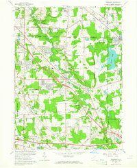
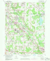
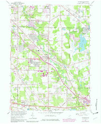
Editions of this 1963 Twinsburg Map
4 editions found
Other maps of this area

1903 · Cleveland
USGS Topo · 1:62,500

1903 · Akron
USGS Topo · 1:62,500

1905 · Akron
USGS Topo · 1:62,500

1906 · Kent
USGS Topo · 1:62,500

1906 · Chagrin Falls
USGS Topo · 1:62,500

1908 · Chagrin Falls
USGS Topo · 1:62,500

1950 · Cleveland
USGS Topo · 1:250,000

1953 · South Russell
USGS Topo · 1:24,000

1953 · Aurora
USGS Topo · 1:24,000

1953 · Chagrin Falls
USGS Topo · 1:24,000