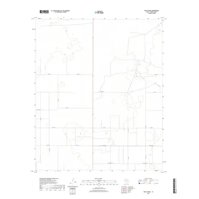
2019 Map of Two B Ranch
USGS Topo · Published 2019About this map
Two B Ranch anchors this portion of Yoakum County, where the landscape is defined by the ephemeral drainage of Lost Draw. The area reflects the modern ranching and agricultural grid of West Texas, partitioned by a series of numbered and named county roads. Significant local corridors include Six Mile Rd and the evocatively named Cherkee Strip Rd, which delineate the flat, semi-arid plains. The sparse distribution of named features emphasizes the open nature of this ranching country, where large landholdings are served by a systematic network of gravel and paved routes such as Todd Rd and Carpenter Rd. This 2019 survey provides a precise look at the rural infrastructure and natural depressions that characterize the Llano Estacado region near the New Mexico border.
Find a feature on this map
15 named features on this map. Tap any name to fly to it.
Don’t see what you’re looking for? This feature index may not catch every label — zoom into the map to look around manually.
Map Details
Editions of this 2019 Two B Ranch Map
This is the sole edition of this map. No revisions or reprints were ever made.
Other maps of this area

1954 · Brownfield
USGS Topo · 1:250,000

1958 · Brownfield
USGS Topo · 1:250,000

1962 · Brownfield
USGS Topo · 1:250,000
1970 · Plains 1 SW
USGS Topo · 1:24,000
1970 · Tokio NW
USGS Topo · 1:24,000
1970 · Plains 1 NW
USGS Topo · 1:24,000
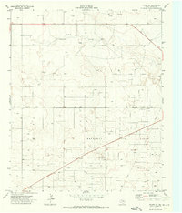
1971 · Plains NW
USGS Topo · 1:24,000
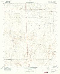
1971 · Schooler Ranch
USGS Topo · 1:24,000
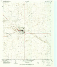
1971 · Plains
USGS Topo · 1:24,000
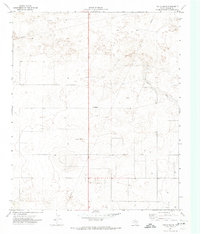
1971 · Two B Ranch
USGS Topo · 1:24,000