
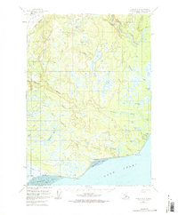
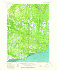
1958 Map of Tyonek A-4
USGS Topo · Published 1961About this map
The Moquawkie (Tyonek) Indian Reservation anchors this coastal landscape along the western shores of Cook Inlet, where the Beluga River and Chuitna River meet the sea. This mid-century survey illustrates the ancestral lands of the Tebughna people, featuring the primary settlement of Tyonek alongside Old Tyonek and the remnants of Tobona. The proximity of a Cem and various Cabin sites near the shoreline suggests a long-standing reliance on the marine environment of Beshta Bay and Trading Bay.
Find a feature on this map
36 named features on this map. Tap any name to fly to it.
Don’t see what you’re looking for? This feature index may not catch every label — zoom into the map to look around manually.
Map Details
Editions of this 1958 Tyonek A-4 Map
3 editions found
Other maps of this area

1944 · Kenai
USGS Topo · 1:250,000

1949 · Tyonek
USGS Topo · 1:250,000

1950 · Kenai
USGS Topo · 1:250,000

1950 · Kenai D-4
USGS Topo · 1:63,360

1951 · Tyonek
USGS Topo · 1:250,000

1951 · Kenai D-3
USGS Topo · 1:63,360

1952 · Kenai D-3
USGS Topo · 1:63,360

1952 · Kenai D-4
USGS Topo · 1:63,360

1954 · Tyonek B-4
USGS Topo · 1:63,360

1958 · Tyonek A-5
USGS Topo · 1:63,360