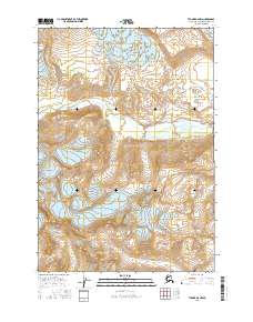
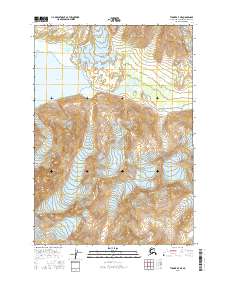
2016 Map of Tyonek A-6 NW
USGS Topo · Published 2016About this map
Kidzqeni Glacier and Crater Glacier dominate the upper elevations of this terrain in the Kenai Peninsula Borough, their frozen expanses feeding the hydrological system of the region. The map reveals the dramatic glacial flow and topographic contours that define the western reaches of the Alaska Range. As these ice masses descend, they give rise to the Chakachatna River, which cuts a wide path through the central valley. In the northeast corner, the label Ch'atanalch'elt Li'a marks another significant ice feature, reflecting the indigenous naming conventions and the deep cultural landscape of the area. This 2016 survey documents the shifting ice and water margins of a wilderness shaped entirely by natural forces, providing a precise record of glacial positions and river drainage patterns.
Find a feature on this map
10 named features on this map. Tap any name to fly to it.
Don’t see what you’re looking for? This feature index may not catch every label — zoom into the map to look around manually.
Map Details
Editions of this 2016 Tyonek A-6 NW Map
This is the sole edition of this map. No revisions or reprints were ever made.
Other maps of this area

1949 · Tyonek
USGS Topo · 1:250,000

1951 · Tyonek
USGS Topo · 1:250,000

1958 · Tyonek A-6
USGS Topo · 1:63,360

1958 · Tyonek B-6
USGS Topo · 1:63,360

1958 · Tyonek
USGS Topo · 1:250,000
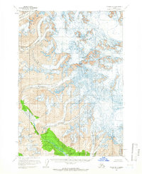
1958 · Tyonek B-7
USGS Topo · 1:63,360
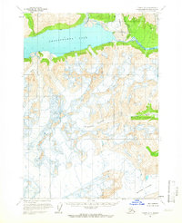
1958 · Tyonek A-7
USGS Topo · 1:63,360
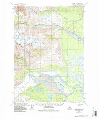
1959 · Tyonek A-6
USGS Topo · 1:63,360

1965 · Tyonek
USGS Topo · 1:250,000
2016 · Tyonek A-7 NE
USGS Topo · 1:25,000