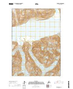
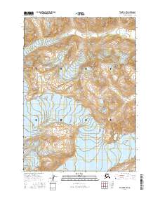
2017 Map of Tyonek A-7 NW
USGS Topo · Published 2017About this map
Ch'akajabena Lake dominates the central landscape of this remote Kenai Peninsula region, its expansive waters fed by the rugged glacial melt of the surrounding mountains. In the northeast corner, the Nagishlamina River flows through a wide valley before entering the lake, illustrating the high-altitude hydrology of the Alaska Range. To the southeast, the terminus of McArthur Glacier marks the edge of a massive ice field, providing a detailed record of glacial extent and the resulting moraine patterns as they appeared in 2017. This survey captures a terrain defined entirely by its natural water and ice systems, with no roads or settlements interrupting the wilderness within the t13n r18w and t12n r19w township boundaries. It is an essential document for understanding the modern geomorphology of the Tyonek area.
Find a feature on this map
7 named features on this map. Tap any name to fly to it.
Don’t see what you’re looking for? This feature index may not catch every label — zoom into the map to look around manually.
Map Details
Editions of this 2017 Tyonek A-7 NW Map
This is the sole edition of this map. No revisions or reprints were ever made.
Other maps of this area

1949 · Tyonek
USGS Topo · 1:250,000

1951 · Tyonek
USGS Topo · 1:250,000

1958 · Tyonek B-8
USGS Topo · 1:63,360

1958 · Tyonek
USGS Topo · 1:250,000

1958 · Tyonek A-8
USGS Topo · 1:63,360
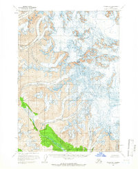
1958 · Tyonek B-7
USGS Topo · 1:63,360
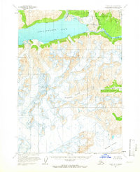
1958 · Tyonek A-7
USGS Topo · 1:63,360

1965 · Tyonek
USGS Topo · 1:250,000
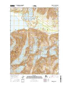
2016 · Tyonek A-7 NE
USGS Topo · 1:25,000
2016 · Tyonek A-7 SE
USGS Topo · 1:25,000