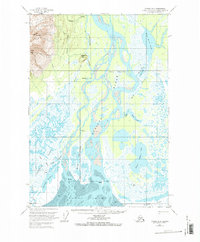
1958 Map of Tyonek B-2
USGS Topo · Published 1986About this map
The braided channels of the Susitna River dominate this 1950s landscape as it empties into Cook Inlet. The small settlement of Alexander is positioned at the confluence of Alexander Creek and the main river, marking a critical point of habitation in a terrain defined by shifting mudflats and sloughs. To the northwest, the elevation rises sharply toward the massif of Mt Susitna and South Peak, providing a dramatic backdrop to the low-lying Susitna Flats. Numerous isolated cabins and markers like VABM 479 Alex suggest a seasonal or survey presence in this water-rich environment. The intricate drainage patterns around Flat Horn Lake and Figure Eight Lake illustrate a dynamic hydrologic system where land and water are constantly renegotiated through features like Big Island and the broad Mud deposits of the delta.
Find a feature on this map
39 named features on this map. Tap any name to fly to it.
Don’t see what you’re looking for? This feature index may not catch every label — zoom into the map to look around manually.
Map Details
Editions of this 1958 Tyonek B-2 Map
3 editions found

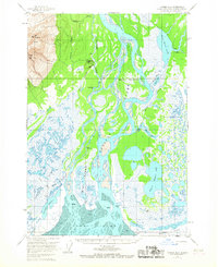
Other maps of this area

1949 · Tyonek
USGS Topo · 1:250,000

1951 · Tyonek
USGS Topo · 1:250,000

1951 · Tyonek A-2
USGS Topo · 1:63,360

1951 · Tyonek A-1
USGS Topo · 1:63,360

1952 · Tyonek C-1
USGS Topo · 1:63,360

1952 · Tyonek A-2
USGS Topo · 1:63,360

1952 · Tyonek A-1
USGS Topo · 1:63,360

1954 · Tyonek C-3
USGS Topo · 1:63,360

1958 · Tyonek C-2
USGS Topo · 1:63,360

1958 · Tyonek B-1
USGS Topo · 1:63,360