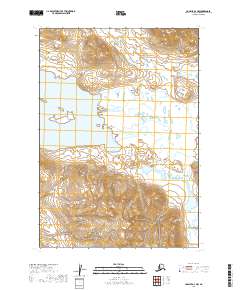
2019 Map of Ugashik A-4 NW
USGS Topo · Published 2019About this map
Mother Goose Lake dominates the central landscape of this remote coastal Alaskan territory, serving as a primary hydrological focal point for the surrounding drainages. The area is defined by its complex waterway network, including the meandering paths of Volcano Cr and the descriptive Indecision Creek. To the southeast, the smaller Needle Lake sits tucked into a separate basin, illustrating the high density of alpine and sub-alpine water bodies characteristic of the Lake and Peninsula Borough. This 2019 survey documents the wild terrain as it existed in the early 21st century, showing a landscape largely untouched by permanent settlements or road infrastructure, where topographic relief and natural drainages like Indecision Cr dictate the character of the land.
Find a feature on this map
9 named features on this map. Tap any name to fly to it.
Don’t see what you’re looking for? This feature index may not catch every label — zoom into the map to look around manually.
Map Details
Editions of this 2019 Ugashik A-4 NW Map
This is the sole edition of this map. No revisions or reprints were ever made.
Other maps of this area

1943 · Ugashik
USGS Topo · 1:250,000

1948 · Ugashik
USGS Topo · 1:250,000

1949 · Ugashik
USGS Topo · 1:250,000

1954 · Ugashik B-4
USGS Topo · 1:63,360

1954 · Ugashik B-5
USGS Topo · 1:63,360

1963 · Ugashik A-4
USGS Topo · 1:63,360
1963 · Ugashik A-5
USGS Topo · 1:63,360

1963 · Ugashik
USGS Topo · 1:250,000
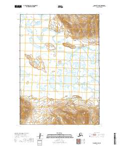
2019 · Ugashik B-4 SE
USGS Topo · 1:25,000
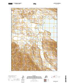
2019 · Ugashik A-5 NE
USGS Topo · 1:25,000