
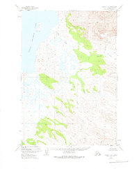
1951 Map of Ugashik C-2
USGS Topo · Published 1956About this map
Volcanic activity and glacial hydrology define this portion of the Alaska Peninsula, where the massive bulk of Mt Peulik rises above fields of Lava. The settlement of Ugashik sits at the head of a complex drainage system, positioned where the Upper Ugashik Lake feeds into the winding Ugashik Creek. This 1951 aerial survey captures a raw landscape dominated by thermal features and high-relief terrain, evidenced by the numerous labels for Spring and Springs clustered near Hot Springs Creek.
Find a feature on this map
13 named features on this map. Tap any name to fly to it.
Don’t see what you’re looking for? This feature index may not catch every label — zoom into the map to look around manually.
Map Details
Editions of this 1951 Ugashik C-2 Map
2 editions found
Other maps of this area

1943 · Ugashik
USGS Topo · 1:250,000

1948 · Ugashik
USGS Topo · 1:250,000

1949 · Ugashik
USGS Topo · 1:250,000

1951 · Ugashik B-1
USGS Topo · 1:63,360

1951 · Ugashik B-3
USGS Topo · 1:63,360

1951 · Ugashik D-1
USGS Topo · 1:63,360

1951 · Ugashik C-1
USGS Topo · 1:63,360

1951 · Ugashik D-3
USGS Topo · 1:63,360

1951 · Ugashik C-3
USGS Topo · 1:63,360

1951 · Ugashik D-2
USGS Topo · 1:63,360