
1958 Map of Umnak
USGS Topo · Published 1958About this map
Okmok Caldera dominates the northeastern section of Umnak Island, its massive volcanic basin defined by sharp ridges and proximity to Tulik Vol. This 1950s survey captures the island's landscape during an era of significant military presence, noted by the Air Force Base and a Military Reservation Boundary that spans the center of the island. The coastline is a complex of deep indentations and rocky features, from the sheltered Hot Springs Cove and Izhiga Cove to the sheer basalt formations of The Pillars. Topographic detail reveals the island's volcanic backbone, including the high peaks of Mt Vsevidof and Mt Recheshnoi. Rare human markers in this maritime environment include a Cemetery near Geyser Bight and a small Camp to the north, while outlying features like Bogoslof Island sit isolated in the Bering Sea.
Find a feature on this map
55 named features on this map. Tap any name to fly to it.
Don’t see what you’re looking for? This feature index may not catch every label — zoom into the map to look around manually.
Map Details
Editions of this 1958 Umnak Map
This is the sole edition of this map. No revisions or reprints were ever made.
Other maps of this area

1951 · Unalaska
USGS Topo · 1:250,000

1951 · Amukta
USGS Topo · 1:250,000

1951 · Samalga Island
USGS Topo · 1:250,000

1951 · Umnak
USGS Topo · 1:250,000

1958 · Samalga Island
USGS Topo · 1:250,000
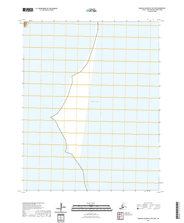
2021 · Samalga Island D-6 OE E NW
USGS Topo · 1:25,000
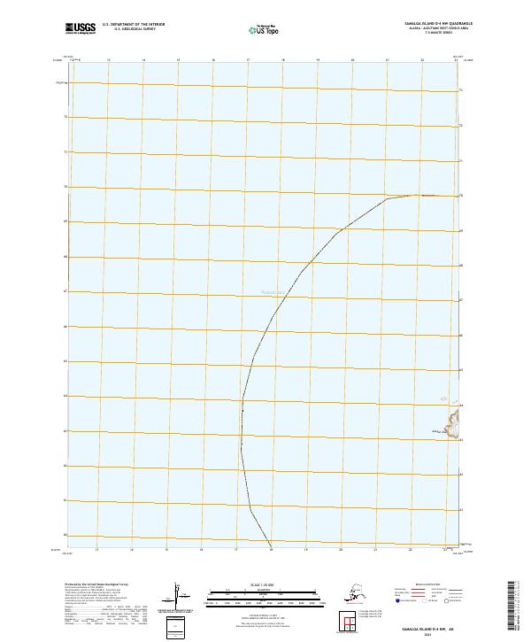
2021 · Samalga Island D-4 NW
USGS Topo · 1:25,000
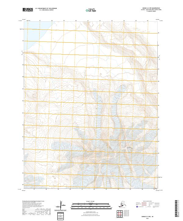
2021 · Umnak A-2 NW
USGS Topo · 1:25,000
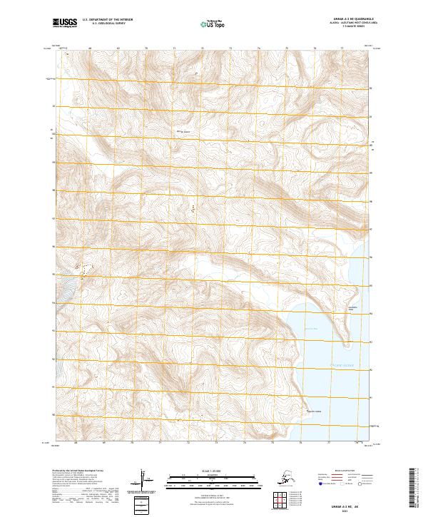
2021 · Umnak A-2 NE
USGS Topo · 1:25,000
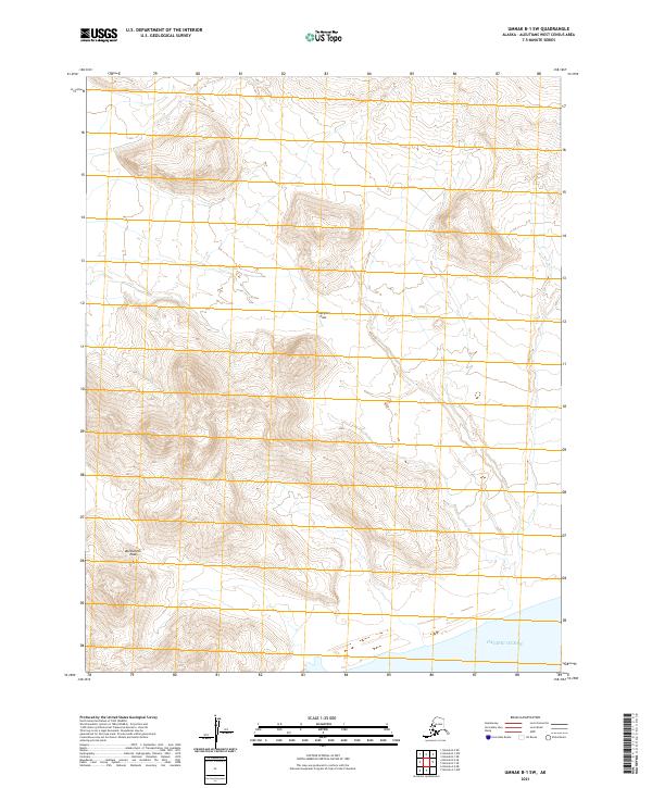
2021 · Umnak B-1 SW
USGS Topo · 1:25,000