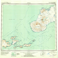
1951 Map of Unimak
USGS Topo · Published 1952About this map
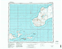
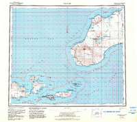
Unimak Island and the Krenitzin Islands stand as the gateway between the Pacific Ocean and the Bering Sea in this 1951 reconnaissance. The landscape is dominated by massive volcanic features like the Pogromni Volcano and the expansive Fisher Caldera, surrounded by the Unimak National Wildlife Refuge. Coastal life is centered on the maritime economy of the mid-century, specifically at the Whaling Sta in Akutan Harbor and the remote outpost at Akutan. Navigational landmarks are critical in these treacherous waters, with the Lighthouse at Cape Sarichef and the station at Scotch Cap marking the crucial Unimak Pass. The survey captures the transition between the rugged Tugamak Range and the coastal lowlands of Urilia Bay, providing a rare view of the islands' terrain before modern developments.
Find a feature on this map
106 named features on this map. Tap any name to fly to it.
Don’t see what you’re looking for? This feature index may not catch every label — zoom into the map to look around manually.
Map Details
Editions of this 1951 Unimak Map
7 editions found
Other maps of this area

1943 · Fort Randall
USGS Topo · 1:250,000

1949 · False Pass
USGS Topo · 1:250,000

1949 · Fort Randall
USGS Topo · 1:250,000

1950 · False Pass
USGS Topo · 1:250,000

1950 · Fort Randall
USGS Topo · 1:250,000

1951 · Unalaska
USGS Topo · 1:250,000

1951 · Unimak
USGS Topo · 1:250,000

1958 · Unimak
USGS Topo · 1:250,000
1958 · Unimak B-2 NE
USGS Topo · 1:25,000

1989 · Unimak C-1
USGS Topo · 1:63,360